
This article contains affiliate links. Learn more in our affiliate disclosure.
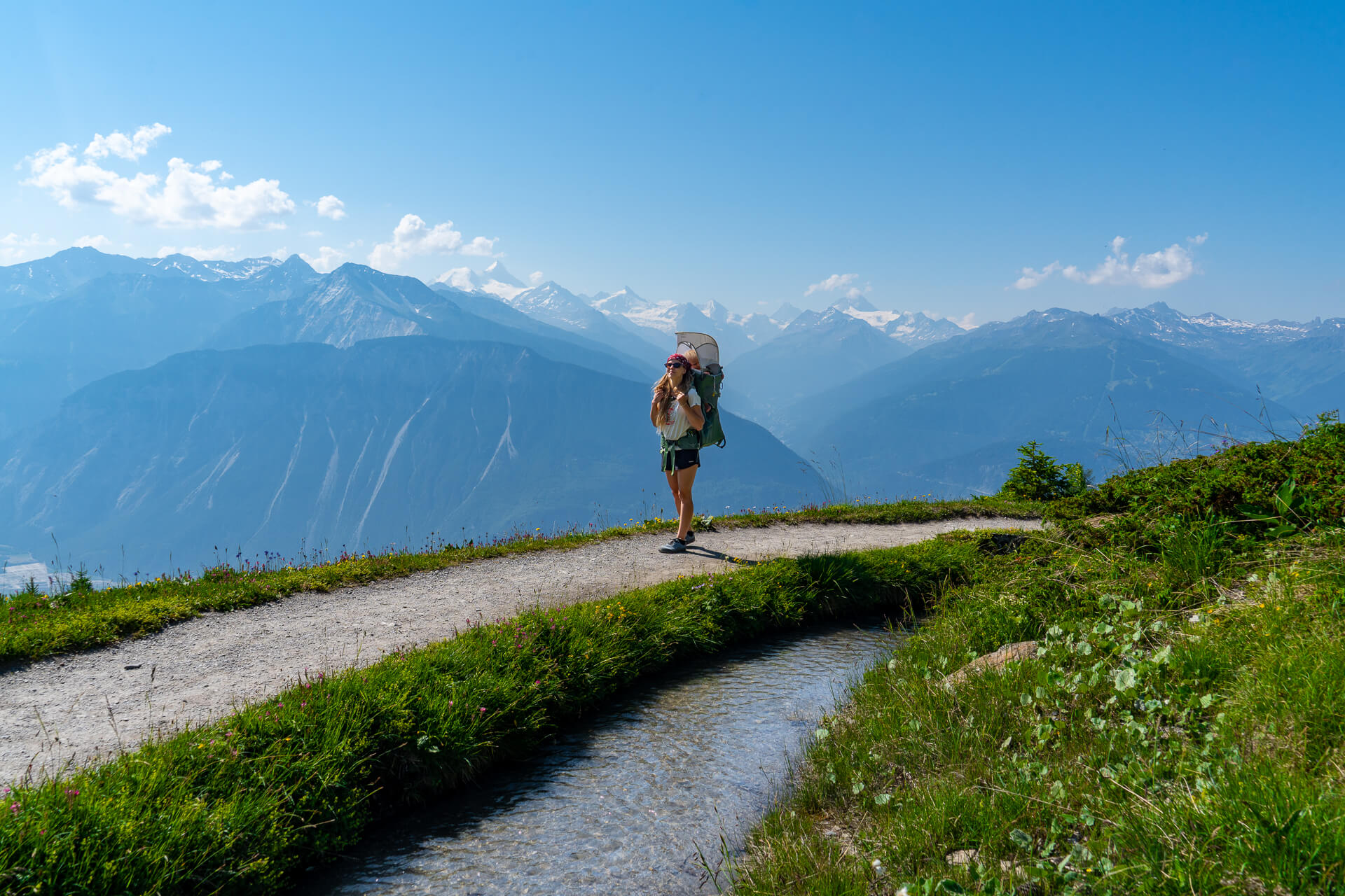
The Bisse du Tsittoret hike is an incredibly varied trail combining panoramic mountain views, shaded forest paths, alpine streams, flower-filled meadows, and the waterfalls of the Tièche Valley near Crans-Montana in Switzerland.
After several days of hiking Crans-Montana during a summer heatwave, we almost skipped it. Instead of completing the entire route from Vermala, we started at Cave de Colombire and focused on what we consider the most scenic section of the trail. The path beside the stream was especially refreshing in the heat, and the hike ended up being our favorite hike in Crans-Montana.
Important: Our shorter loop saved us almost 4 km and around 1 hour and 20 minutes of walking. In this guide, we explain both the official route and the version we followed, with separate maps, trail stats, transport options, parking information, and a detailed route description.
Quick Trail Stats
| Official Route | Our Shorter Route | |
| 📍The Trail | Vermala – Tièche Valley – Colombire | Colombire – Tièche Valley – Colombire |
| 🥾 Distance | 10.7 km | 6.6 km |
| 🕥 Walking Time | 3h 20 min | around 2 hours |
| ⬆️ Elevation | +365 m / -239 m | +150 m / -171 m |
| 🔥 Difficulty | Moderate | Easy |
| ⭐️ Route Type | Point-to-point with a loop | Loop |
In a hurry?
These are our top hotels in Crans Montana we’d book again
⭐️⭐️⭐️ Hotel de l’Etrier – Dream stay. Incredible room views, beautiful sunsets, a pool and sauna, plus genuinely excellent food.
👉 See prices & availability →
⭐️⭐️ Hotel Le Mont Paisible – Choose it for panoramic valley views, a quieter setting, and easy access to the Violettes cable car.
👉 See prices & availability →
⭐️ Hôtel Historique Chez Elsy – Choose it for a smaller family-run stay with vintage character, mountain views, and more affordable rates.
👉 See prices & availability →
What Is a Bisse
A bisse is a traditional irrigation channel used in the Valais region to carry water from mountain streams to meadows, fields, and vineyards.
Hiking paths beside bisses often follow gentle gradients and stay close to flowing water. However, the complete route may still include steeper connecting sections, as Bisse du Tsittoret does near the start in Vermala.
We also recommend hiking Bisse du Ro, which feels completely different. The trail is more exposed and includes narrow wooden walkways fixed to the cliffs, making it a better choice if you want more dramatic views and do not mind heights.
Why We Think This Hike Is Worth It
One of the biggest advantages of this hike is that you can adapt it to your available time and energy. The official route works well if you want a longer half-day outing, while the Colombire loop gives you a shorter alternative without turning the day into a demanding mountain hike.
We’d recommend it most to hikers who care more about varied landscapes and a relaxed walking experience than reaching a summit. If you want exposed ridges, a challenging ascent, or a major mountain peak, this probably is not the right trail.
The main trade-off with the official route is that it is point-to-point, so you need to arrange transport between Colombire and Vermala. The shorter version avoids that complication and brings you back to the same starting point.
Bisse du Tsittoret Hiking Map (Official Trail)
Bisse du Tsittoret Hiking Map (Our Shorter Trail)
When to Hike Bisse du Tsittoret
The best time to hike Bisse du Tsittoret is generally from late June to early October, once the higher sections are free of snow. July and August are best for green alpine meadows and wildflowers, while September usually brings cooler temperatures and quieter trails.
We’d start in the morning during hot weather. Some sections are exposed, but the shaded forest path beside the stream offers a welcome break from the heat.
Because the route reaches higher alpine terrain, conditions can change quickly. Before setting out, check the official Crans-Montana website to confirm that the trail is open, especially early or late in the hiking season.
Getting to the Trailhead
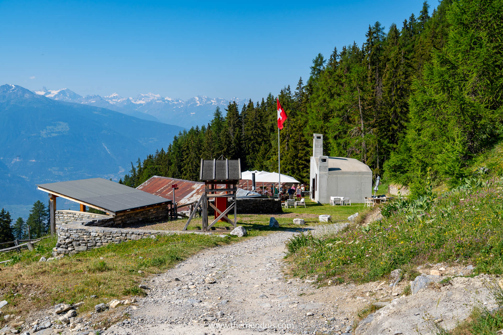
There are two possible starting points for the Bisse du Tsittoret hike. Start in Vermala if you want to complete the official route, or begin near Cave de Colombire if you prefer our shorter version covering the most scenic section.
Important: The official route is not a loop. It starts in Vermala and finishes in Colombire, so if you arrive by car, plan how you’ll return to Vermala. Using the free local buses is usually easier than leaving your car at the trailhead.
By Car
Official Trailhead in Vermala
For the complete trail, drive to Vermala and use the paid parking next to Le Cervin restaurant. The official Bisse du Tsittoret route begins nearby and continues towards Colombire and the Tièche waterfall.
Driving works best for our shorter Colombire loop because you return to the same starting point. For the official point-to-point route, public transport is usually easier unless someone can collect you at the finish. If you plan to explore the wider region by car, read our renting a car in Switzerland guide.
Shorter Trailhead at Cave de Colombire
For our shorter route, drive towards Colombire and park for free along the main road near Le Relais de Colombire restaurant. From there, continue to Cave de Colombire, where we started the hike towards the Tièche waterfall.
By Public Transport
Official Trailhead in Vermala
Take bus 432 towards Vermala Cervin and get off at the final stop, Vermala, Cervin. The line connects Vermala with stops around Télé Arnouva, Télé Cry d’Er (start of Marmot Trail), and Les Ehripis, so check the SBB timetable for the most convenient boarding point from your accommodation.
Shorter Trailhead at Cave de Colombire
From central Crans-Montana, take bus 431 to Télé Violettes or Aminona, then change to the seasonal bus 435 and get off at Aminona, Colombire.
Bus Tickets and Travel Passes
Local Crans-Montana shuttle buses, including lines 432 and 435, are free for everyone. You do not need a My Explorer Card, Swiss Travel Pass, or separate bus ticket.
The journey from Sierre to Crans-Montana by funicular or regional bus is separate and normally requires a valid ticket. It is covered by relevant nationwide passes such as the Swiss Travel Pass, while the My Explorer Card is not valid on regional routes between Sierre and Crans-Montana.
Always check the latest timetable before your hike, especially if you plan to use the seasonal bus 435.
Bisse du Tsittoret Trail Description

Distance: 10.7 km (official trail) or 6.6 km (shorter route)

Elevation gain: ascent 365 m, descent 239 m (official trail) or ascent 150 m, descent 171 m (shorter route)

Duration: 3.5 hours (official trail) or 2 hours (shorter route)
Vermala to Cave de Colombire
The official Bisse du Tsittoret route starts in Vermala with the steepest climb of the hike before joining the historic irrigation channel and continuing gradually toward Colombire. The trail changes between forest and more open slopes, with panoramic views appearing along the way.
We did not walk this first section because we wanted a shorter hike and started directly from Cave de Colombire. Based on the official route, this part is worth including if you want to complete the entire trail, but the scenery becomes more varied after Colombire.
Cave de Colombire to Cave du Sex
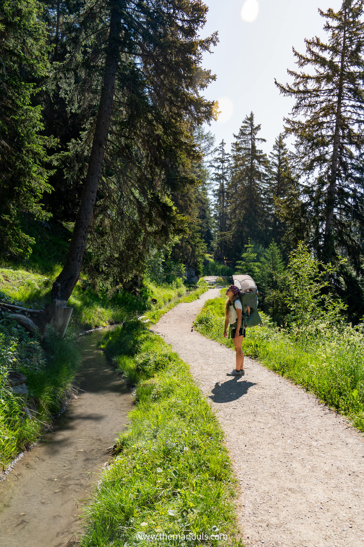
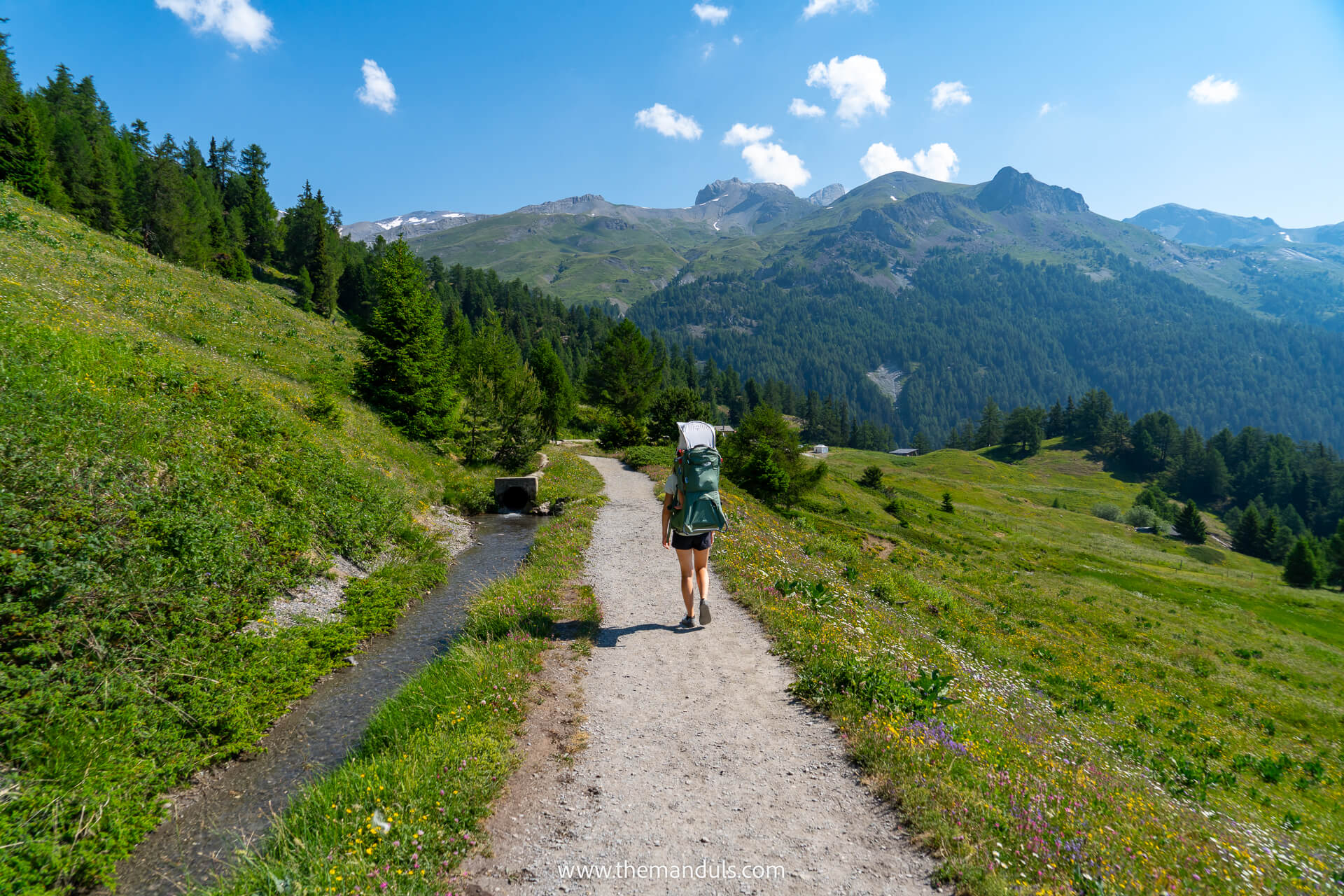
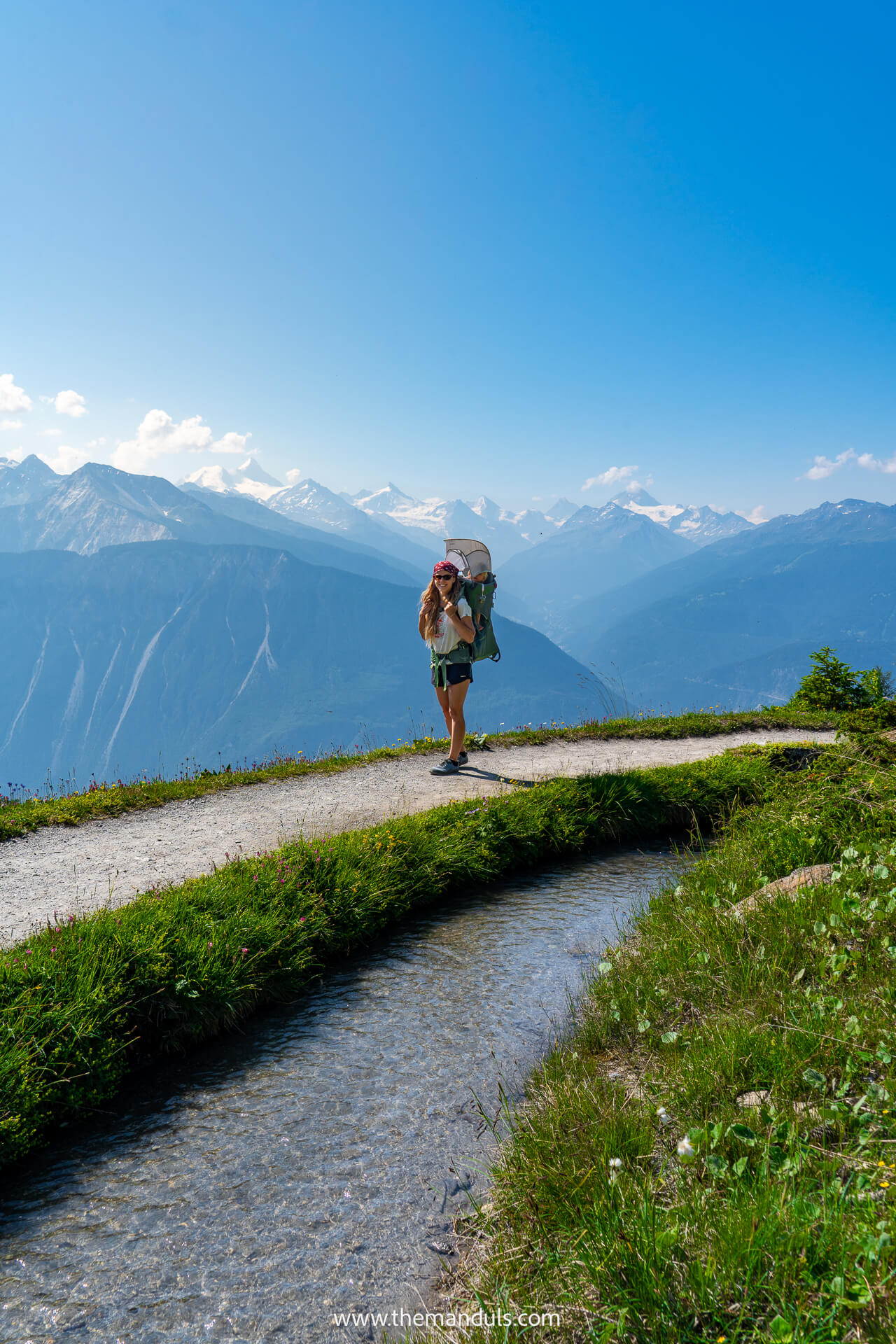
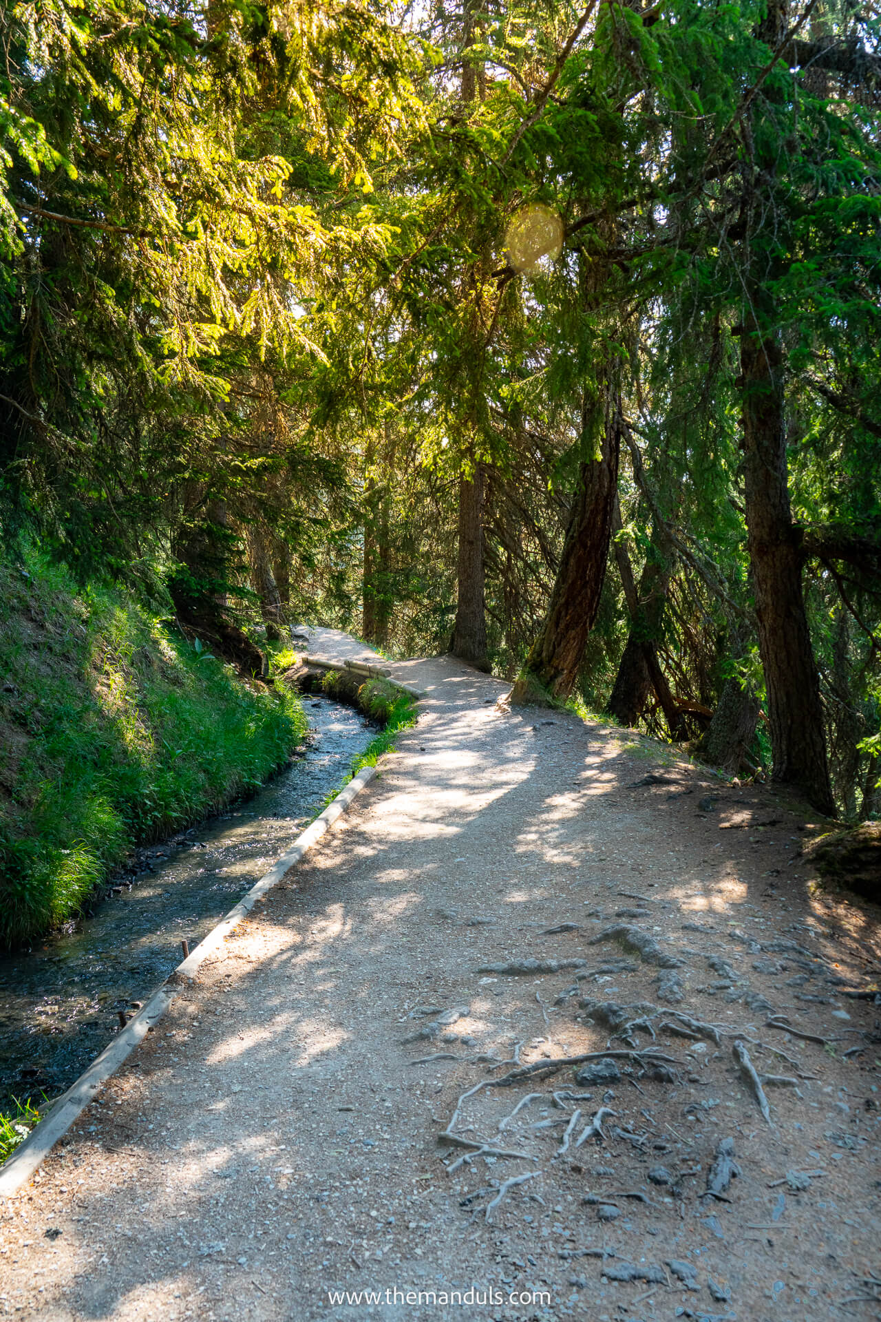
From Cave de Colombire, the trail feels mostly flat and incredibly relaxing. We followed a small stream almost the entire way, with some sections passing through shaded larch forest—a very welcome break during the heatwave.
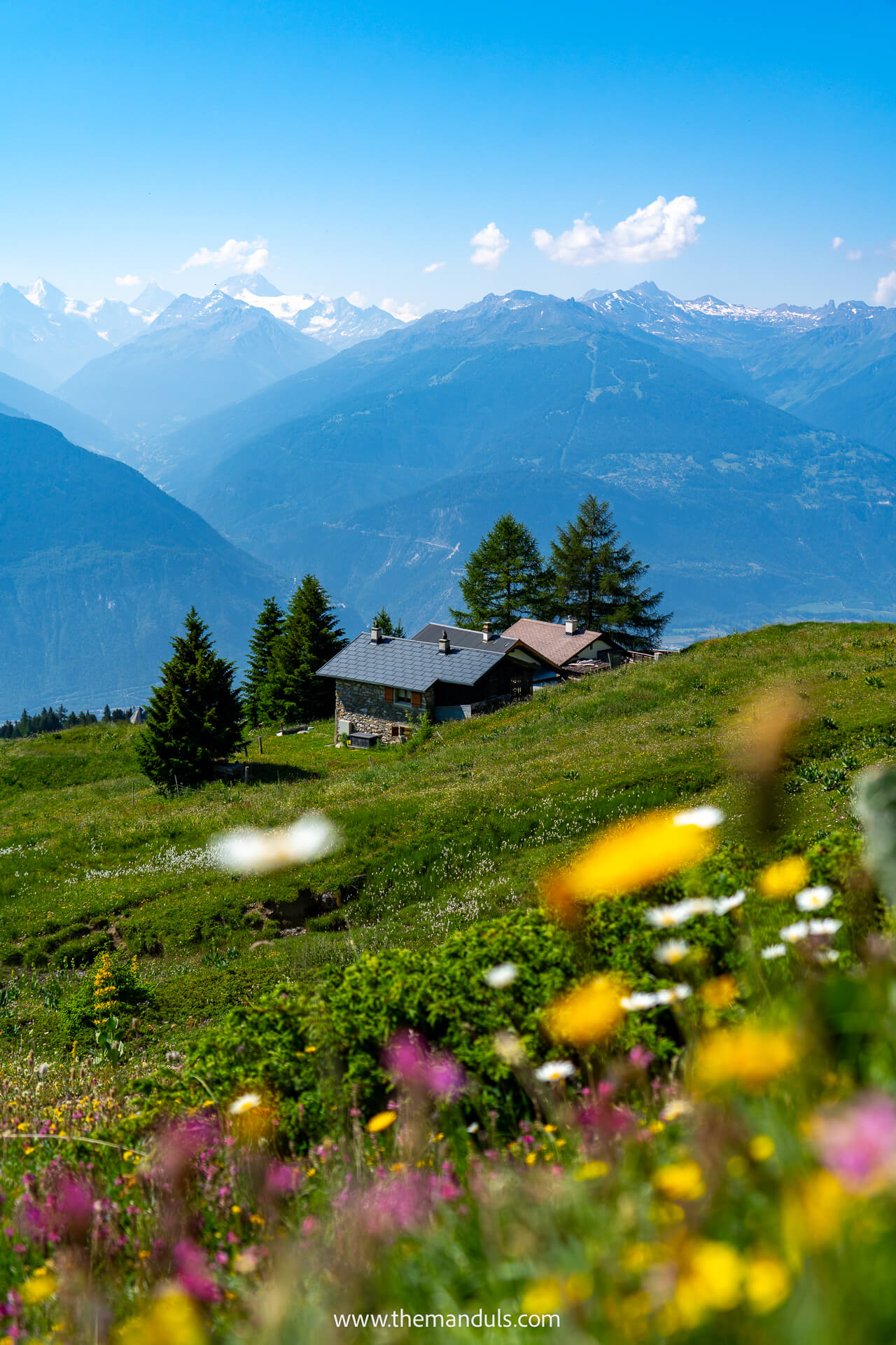
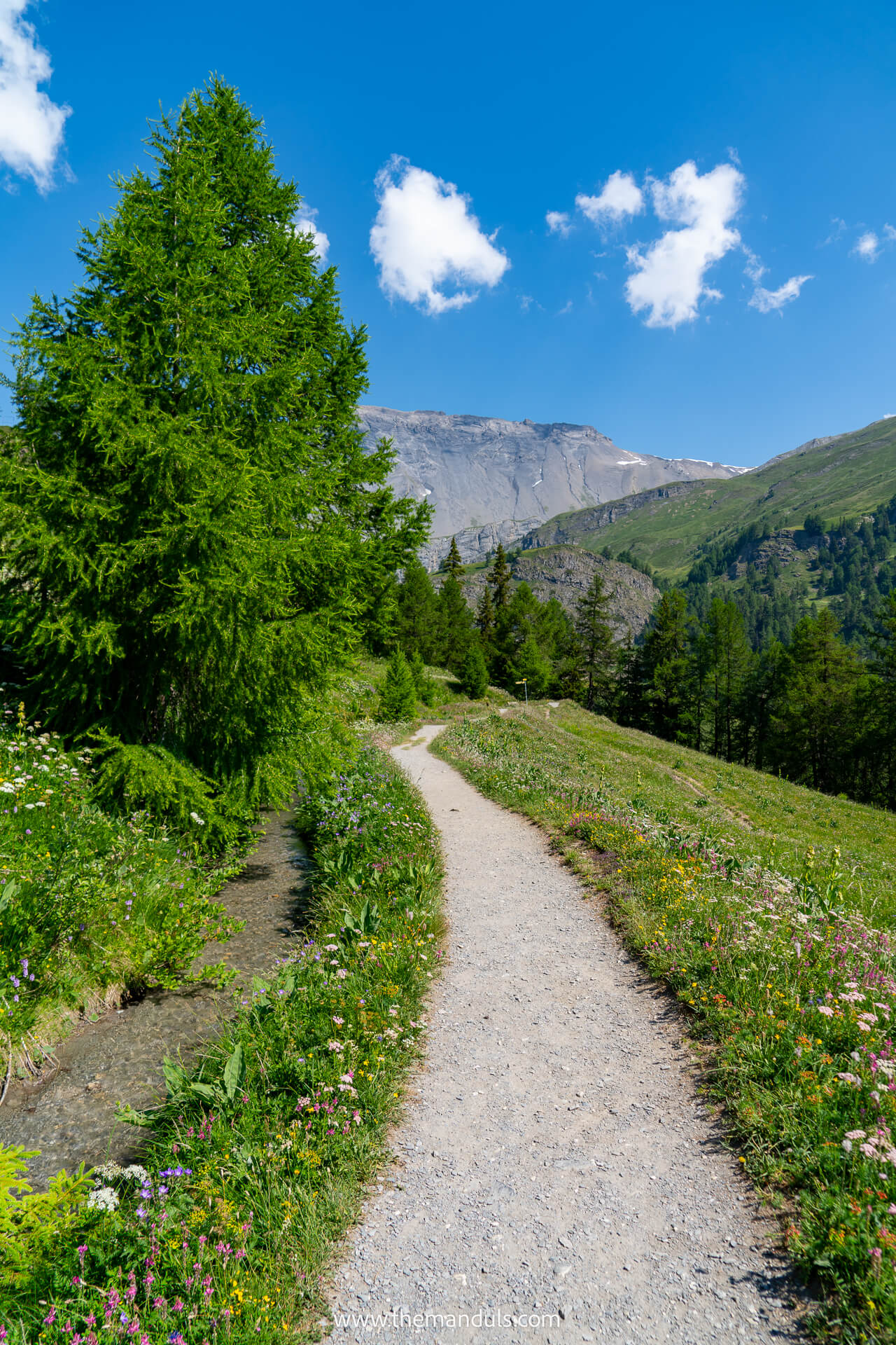
Other parts open into alpine meadows filled with flowers, with views toward the Matterhorn, Weisshorn, and Mont Blanc on a clear day. The combination of water, forest, flowers, and distant peaks made this our favorite section of the entire hike. The walk between Colombire and Cave du Sex takes around 30 minutes and is one of the easiest parts of the route.
Cave du Sex Junction to La Tièche
Shortly before reaching Cave du Sex, turn left at the junction shown on hiking maps. It is worth checking your route carefully here, as you leave the bisse and continue along a higher path toward the Tièche Valley.
This section feels very different from the trail before it. You no longer walk directly beside the stream, and the route follows a wider path shared with cyclists, so expect occasional bike traffic.
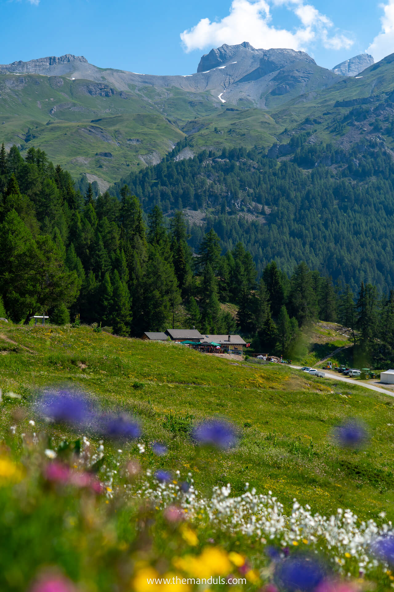
Roughly halfway to La Tièche, you pass Cabane de la Tièche, a mountain hut and restaurant where you can stop for food or drinks when it is open. We would still check its current opening hours before relying on it during the hike.
La Tièche Waterfall Detour
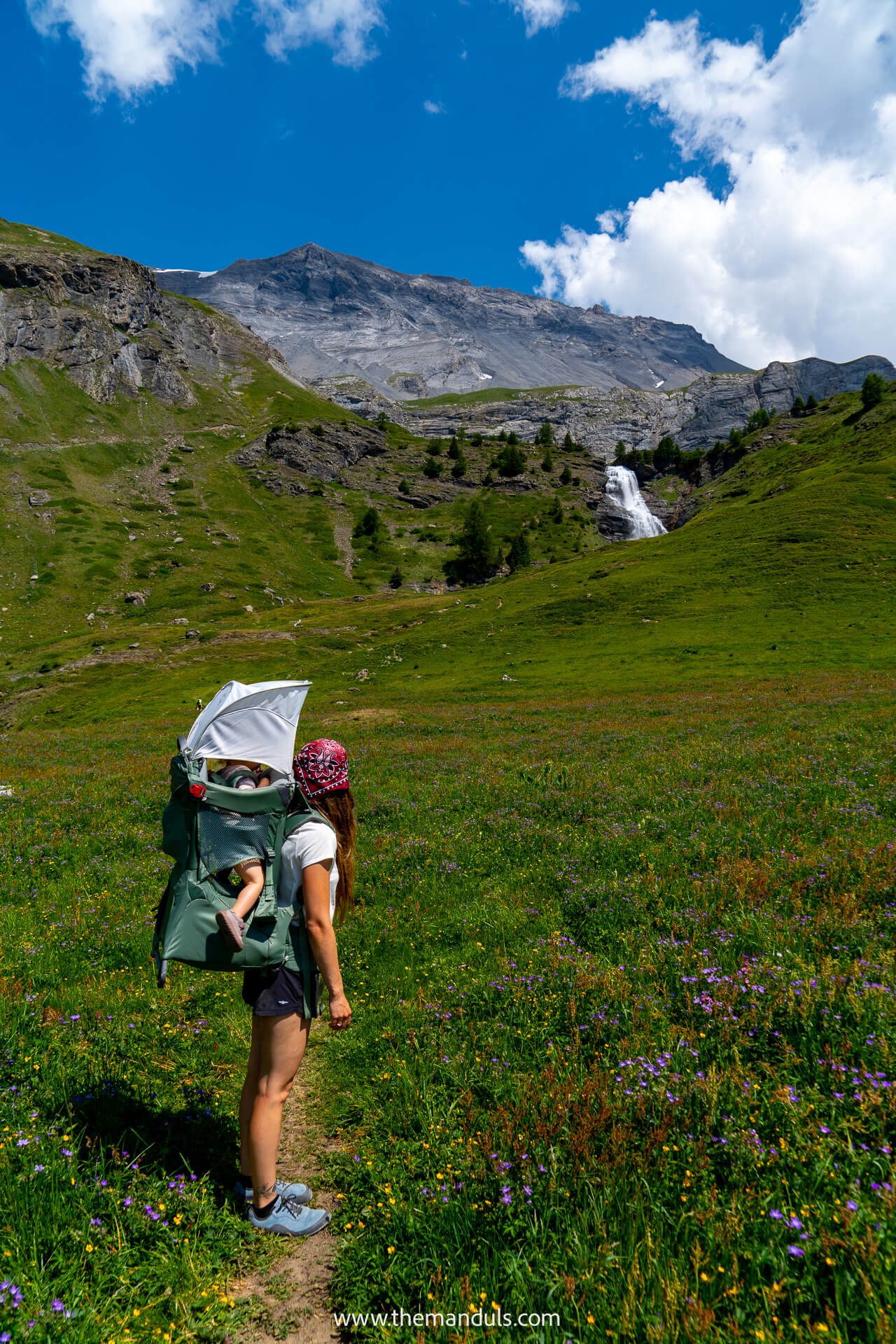
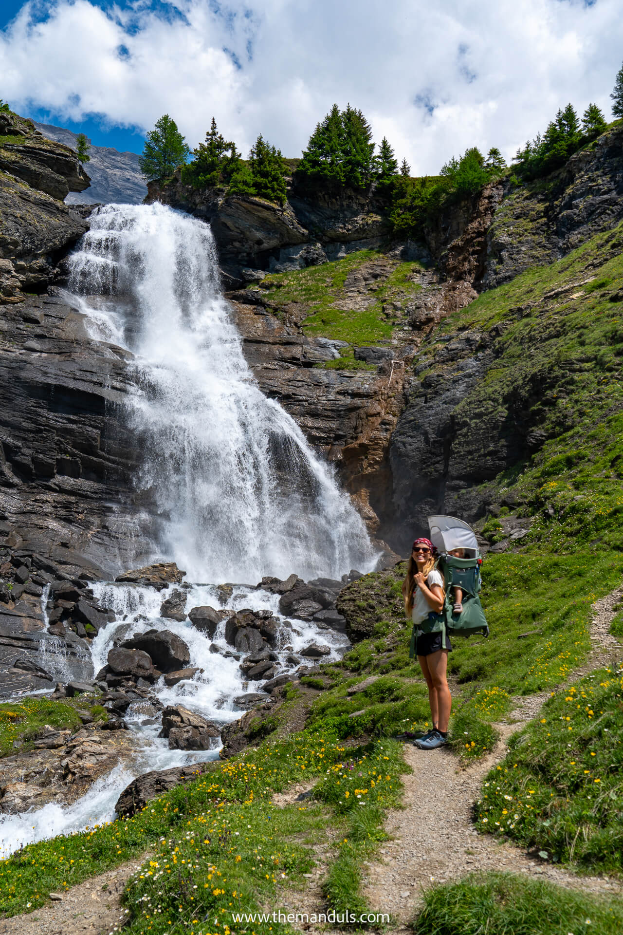
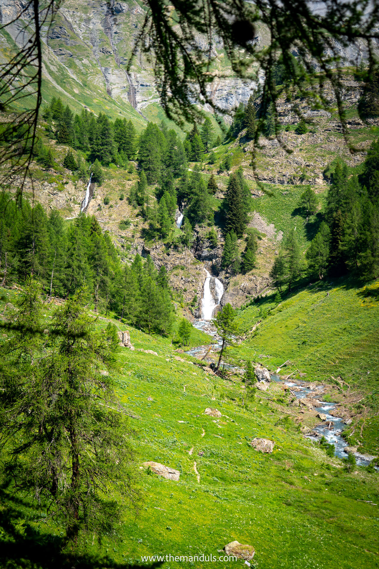
Once you reach La Tièche, the official route turns back down the valley. However, we could see an enormous waterfall in the distance, with rolling meadows covered in flowers leading directly toward it, and there was no way we were turning around without taking a closer look.
We left the official route and followed the visible path across the meadows toward the waterfall. We met several other hikers doing the same, but this remains an unofficial detour, so check the conditions and your hiking map before continuing.
You can walk almost directly beneath the waterfall, and it might be the most magical place we visited in Crans-Montana. Behind you are wide views across the valley and distant peaks, while the waterfall drops over the rock face only a short distance away. This detour was easily worth the extra walking.
La Tièche to Cave du Sex
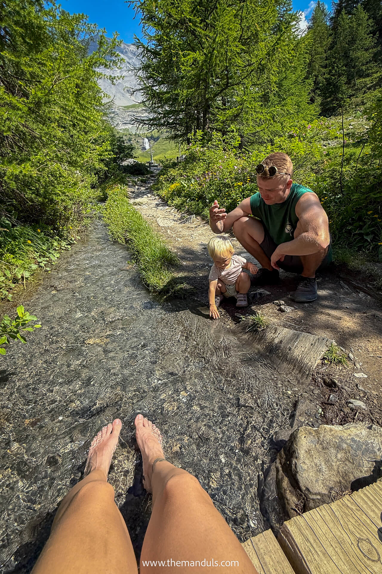
After returning from the waterfall, the route passes a beautiful rest area with benches, picnic tables, and grills for a barbecue. You can also dip your feet—or more—in the river, although the water is freezing cold. It was perfect for refreshing our sore feet before continuing.
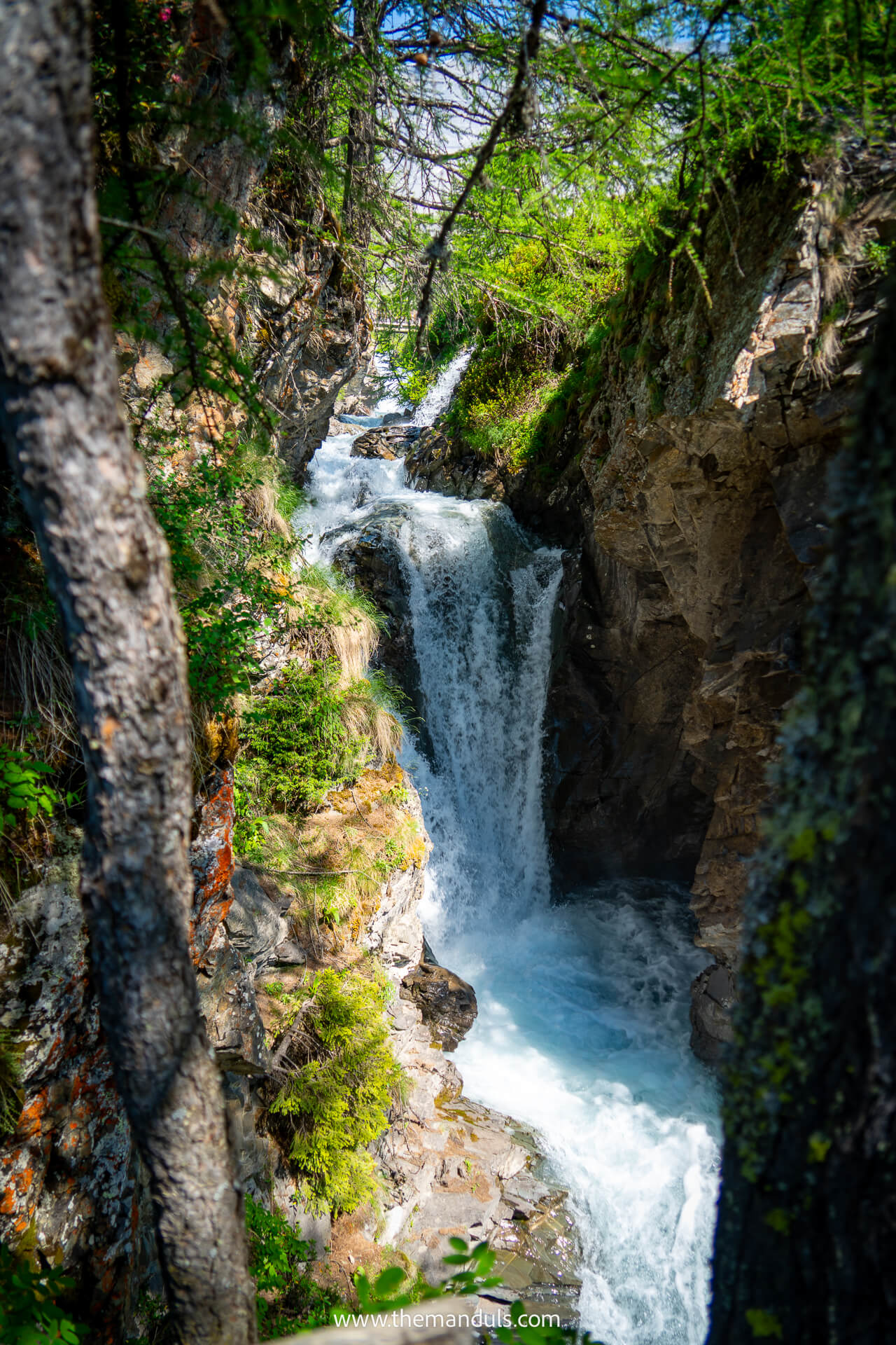
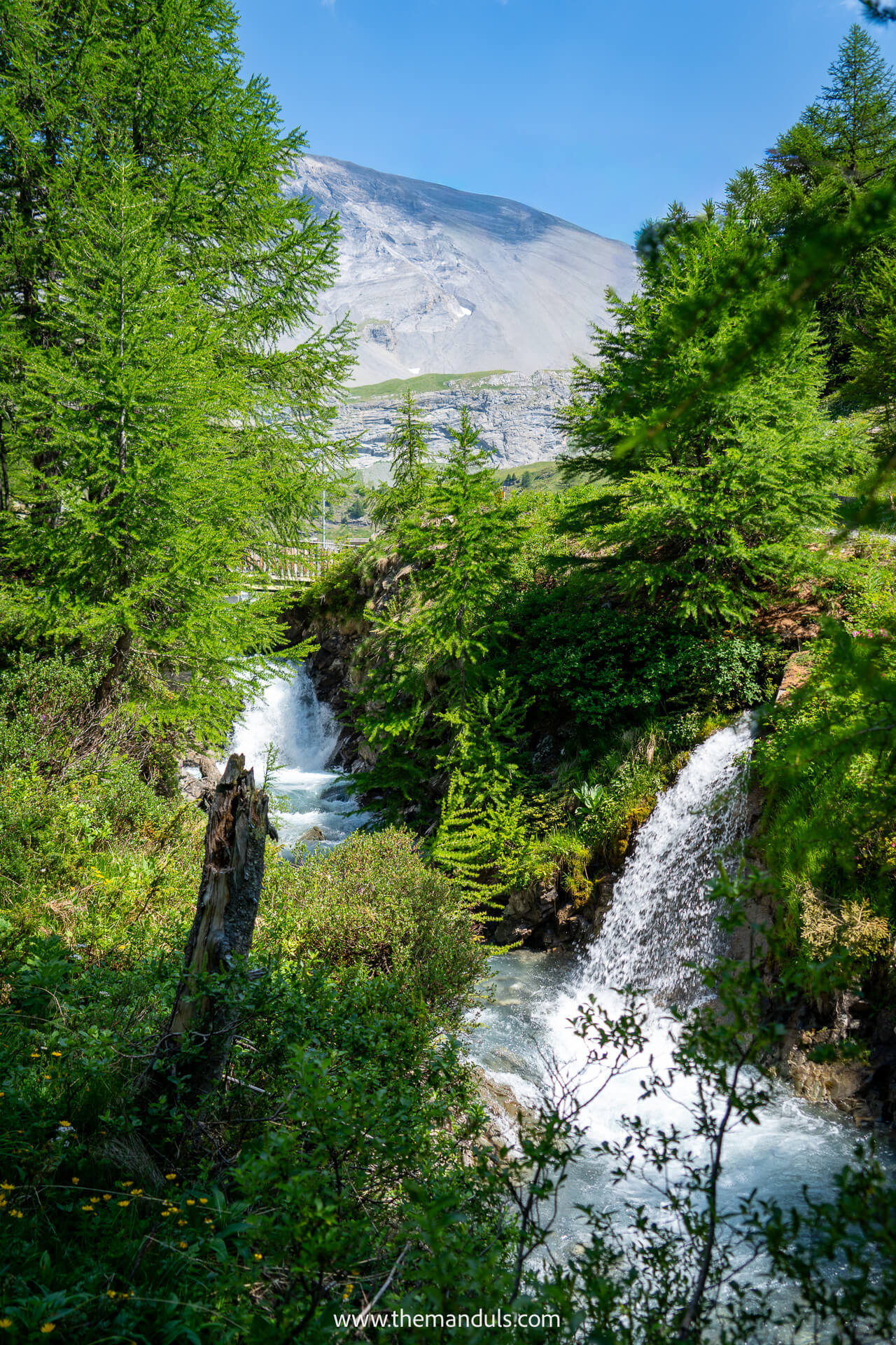
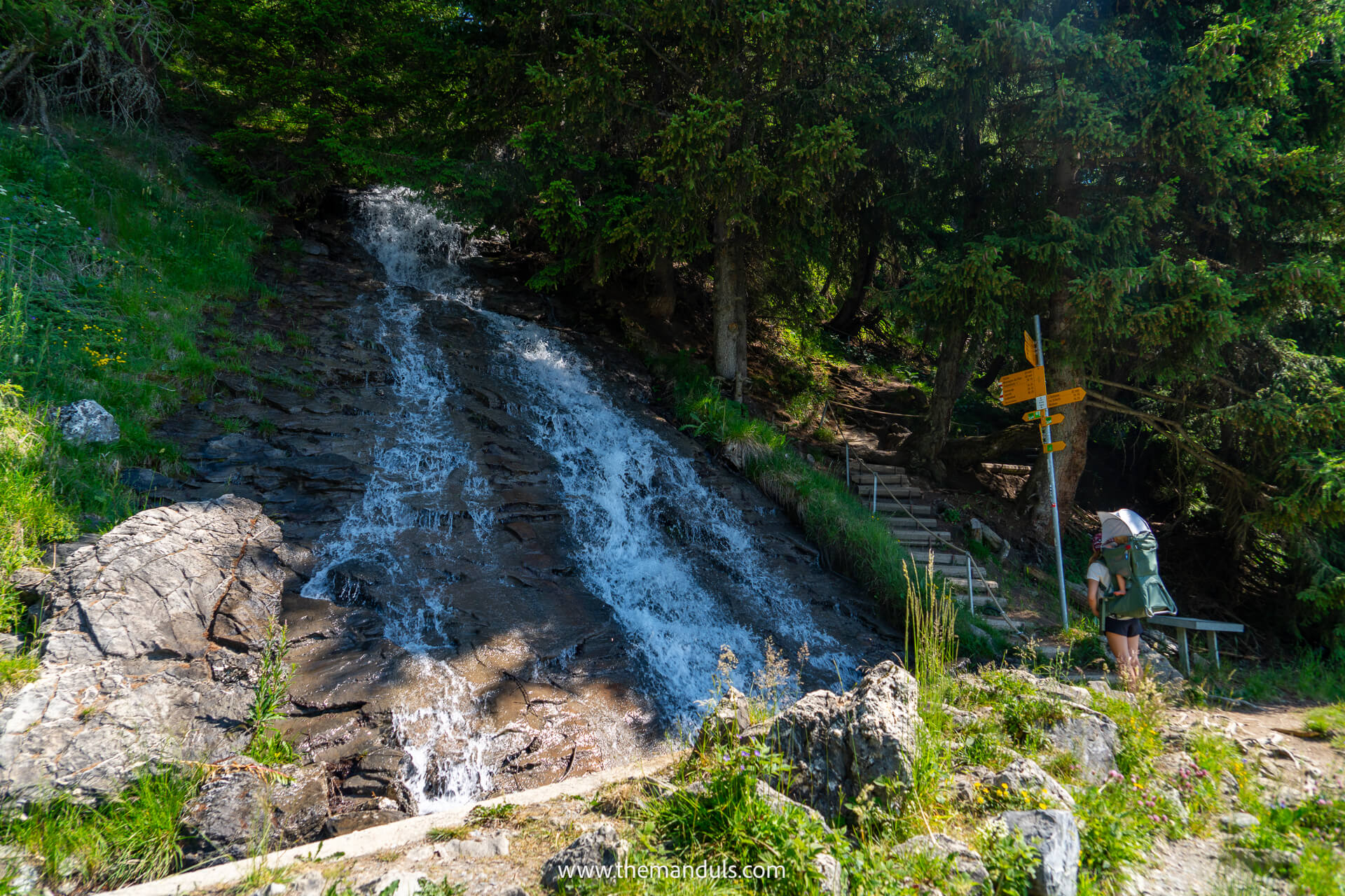
The path then follows several steps downhill beside the river. Along the way, small viewing areas look into a narrow canyon where you can see several smaller waterfalls below the trail. This was another surprisingly scenic part of the hike and felt completely different from the open path above.
Eventually, the route joins the bisse again and follows it toward Cave du Sex. From here, the route rejoins the same gentle path beside the bisse that connects Cave du Sex with Colombire.
Cave du Sex
Cave du Sex is a simple alpine hut directly beside the trail. It is a good place to take a proper break before the final return, with food and drinks available.
Cave du Sex to Cave de Colombire
From Cave du Sex, return to Cave de Colombire along the same path you followed earlier. We did not mind repeating this section because it was our favorite part of the trail, and the views feel slightly different when walking in the opposite direction.
The route remains gentle, following the stream through meadows and shaded forest until you reach Colombire.
Facilities Along the Trail
Facilities are limited on the Bisse du Tsittoret trail, especially before Colombire and deeper inside the Tièche Valley.
Between Vermala and Colombire, there are no huts, public toilets, or other facilities directly along the trail, so use the facilities near the Vermala trailhead before setting off.
The main mountain huts and refreshment stops farther along the route are:
- Cave de Colombire – near the start of our shorter route
- Cave du Sex – serves simple food and drinks; payment was cash only when we visited
- Cabane de la Tièche – a mountain restaurant between Cave du Sex and La Tièche
Shortly before Cave du Sex, there is also a public toilet beside the trail. It was exceptionally clean and even smelled fresh when we visited, which is not something we often expect from a mountain-trail toilet.
After passing Cave du Sex, there are no other standalone public toilets along the route. Apart from Cabane de la Tièche, the main facility is the picnic area near La Tièche, where you’ll find benches, tables, and fixed grills for a barbecue.
We’d still carry enough water and snacks, particularly outside the main summer season, as opening days and hours at the mountain huts can vary.
Trail Difficulty
The complete 10.7 km route from Vermala is officially rated as moderate. Its most demanding part is the initial climb before the trail joins the bisse, while the remaining sections generally feel gentler.
There are no technical passages or exposed ridges, but the distance and elevation can still make the full route tiring for less experienced hikers. Our shorter loop from Colombire felt easy, with gentle ups and downs rather than sustained climbs.
Near La Tièche, expect some steps, uneven ground, and short downhill sections beside the river. These areas can become slippery after rain, so we recommend proper hiking shoes even for the shorter version.
Where to stay in Crans-Montana
These are the three hotels we’d consider, depending on whether you want the best overall experience, direct mountain access, or a more affordable stay.
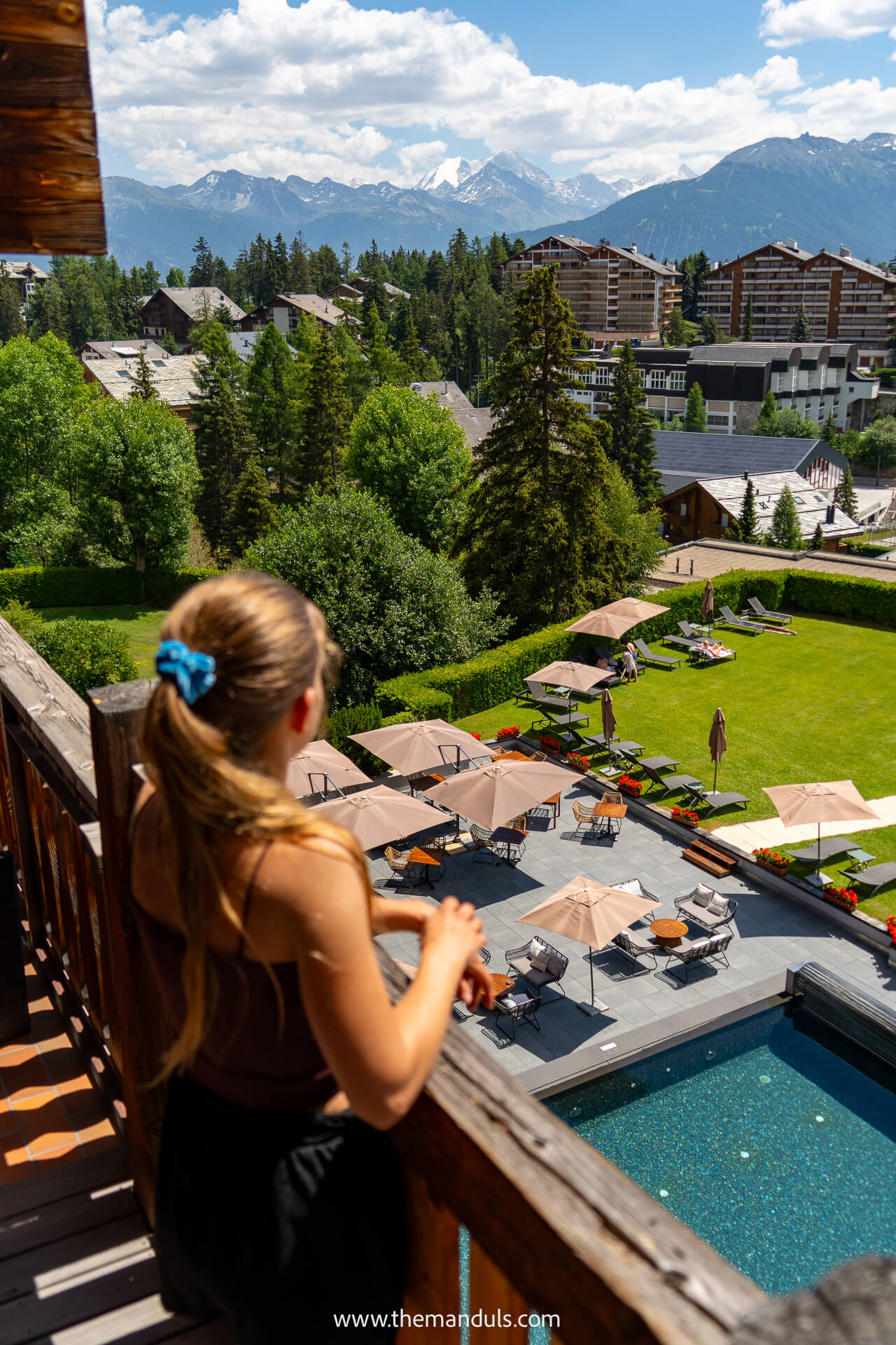
⭐️⭐️⭐️ Hotel de l’Etrier — Our Top Pick
We stayed at Hotel de l’Etrier and would happily book it again. The mountain views from our room were incredible, especially around sunset, while the pool, terrace, and sauna gave us somewhere to relax when the weather changed or we finished exploring early.
Another reason we’d choose it over the others is the food.
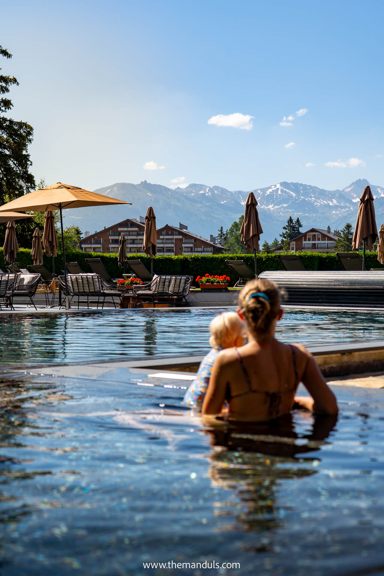
We ate at several of the hotel’s restaurants, and every meal was genuinely delicious. It is the strongest option if you want the hotel itself to feel like an enjoyable part of the trip rather than simply a place to sleep.
Best for: Views, wellness facilities, and excellent food
👉 Check current deals →
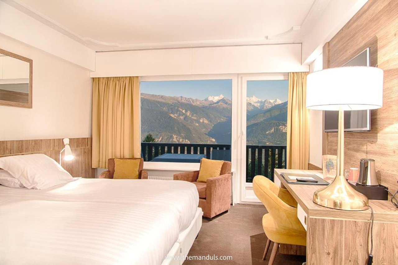
⭐️⭐️ Hotel-Restaurant Le Mont Paisible
We’d choose Le Mont Paisible if you want a quieter mountain stay with more than just a convenient location. The hotel has panoramic views over the Rhône Valley, an on-site restaurant, a sauna, massages on request, and free parking. The Violettes cable car is also only a few steps away, making it easy to reach the mountains without driving across the resort.
Best for: Mountain views, useful facilities, and easy cable-car access
👉 Compare prices →
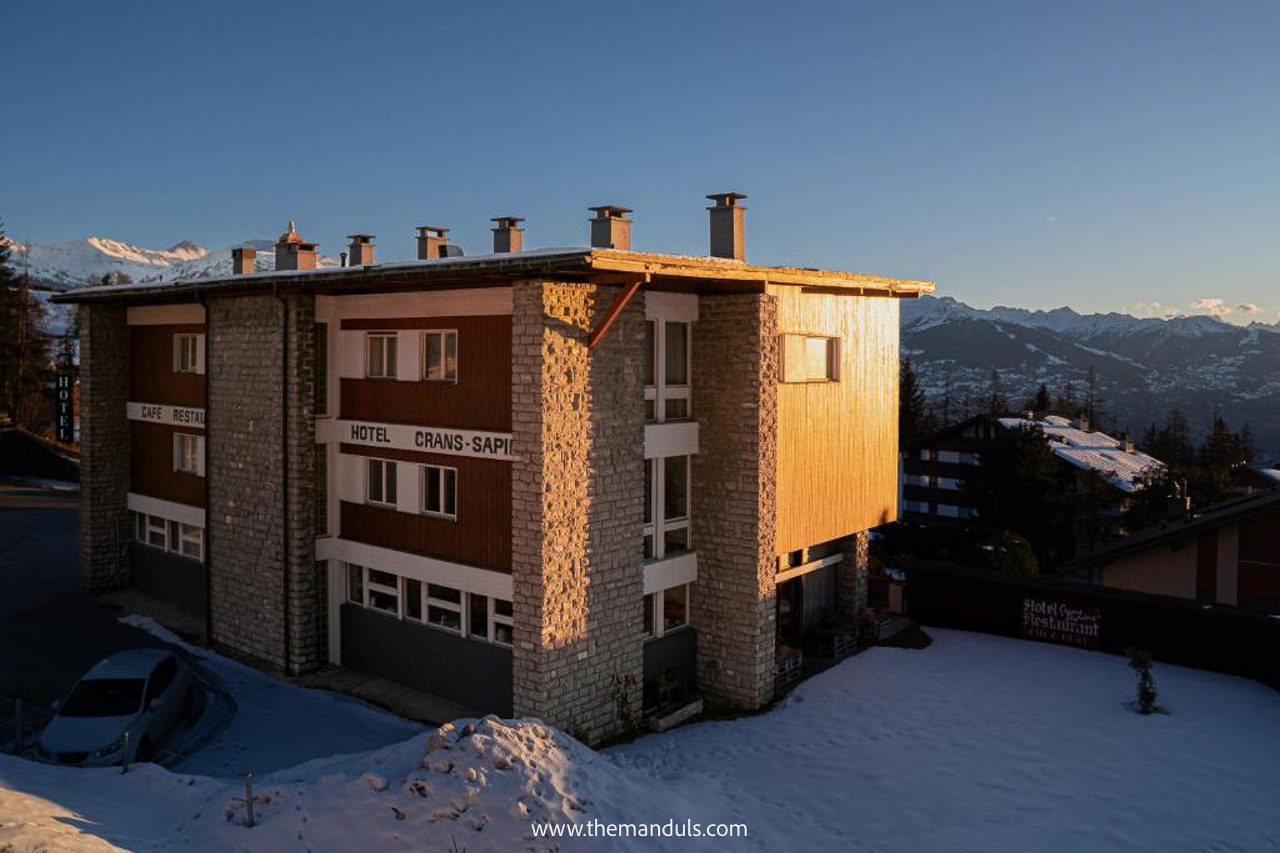
⭐️ Hôtel Historique Chez Elsy
Chez Elsy stands out for its personal atmosphere and original 1960s character. The same family has run the hotel for three generations, and the rooms combine vintage details with modern comforts. Some also have balconies with panoramic mountain views, while the restaurant and terrace give you somewhere relaxed to eat or have a drink without leaving the hotel.
It is also usually the most affordable of our three picks, making it a strong choice if you want character, views, and a smaller family-run stay.
Best for: A personal, character-filled stay at a lower price
👉 See availability →
FAQs
Yes, the trail can work well for active children who are comfortable walking on uneven mountain paths. There are no technical or highly exposed sections, but the full route may feel long for younger kids. Starting at Colombire is the better option for families wanting a shorter hike.
The complete route is not suitable for a stroller. However, the gentle section between Colombire and Cave du Sex may be manageable with a sturdy all-terrain stroller with large wheels. Beyond that, steps, uneven terrain, and narrower paths make a hiking carrier the better option.
No, the trail is not wheelchair-accessible.
Final Thoughts
Both versions of the Bisse du Tsittoret hike are worth considering, but they suit different plans. Start in Vermala if you want to complete the official route and do not mind arranging return transport from Colombire.
Choose the Colombire loop if you prefer a shorter, easier outing with a simpler start and finish. We would choose this version again, especially on a hot day or after several more demanding hikes.