
This article contains affiliate links. Learn more in our affiliate disclosure.
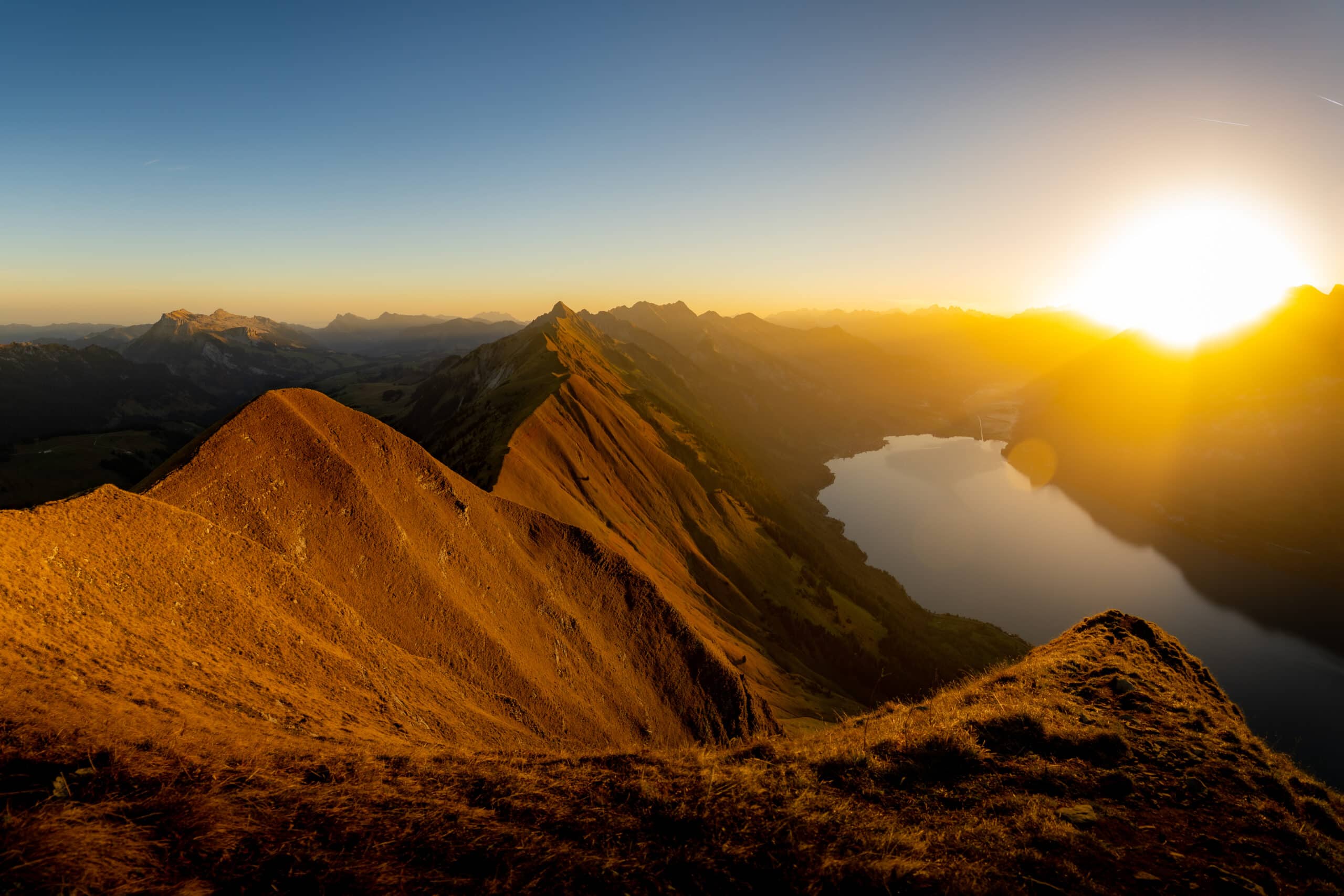
We couldn’t miss this adventure during our road trip in Switzerland. It’s one of the most beautiful peaks around Interlaken overlooking mesmerizing Brienzsee Lake. It’s also a part of a famous and difficult Hardergrat Trail.
Augstmatthorn’s iconic ridge is becoming more and more popular. The narrow trail takes you up and down the hills while enjoying panoramic views on both sides. The steep slopes on both sides add some adrenaline.
Together with Oeschinensee, this is our favorite hike on the 10 day Switzerland itinerary which we followed during our trip. If you’re looking for another less popular ridge hike, check out Stoos Ridge Hike near Lucern.
Another incredible ridge hike we recommend is Schäfler Ridge and Seealpsee in the Appenzell Alps.
In this guide, we’ll tell you everything we know about the different hiking trails, Harder Kulm funicular, where to stay nearby, where to eat, and what to pack. We included many useful tips, which you should read before heading out!
Where is Augstmatthorn
The peak offers epic 360 views at 2136 m. It also overlooks a turquoise Lake Brienzsee near Interlaken, in the Berner Oberland region. The peak is a part of the Emmental Alps, and it’s almost in the middle of the challenging Hardergrat Trail (also known as Brienzergrat).
Save the location of Augstmatthorn to your Google Maps.

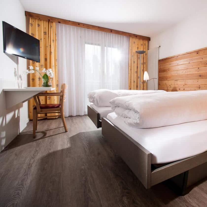
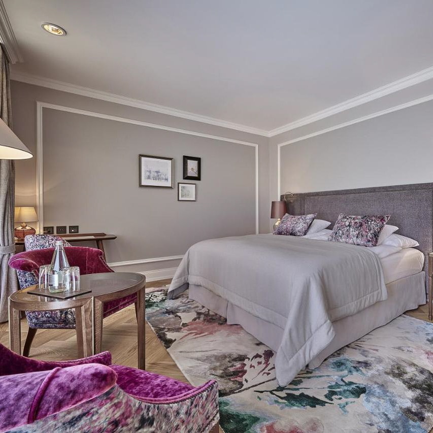
Best hotels in Interlaken
Check availability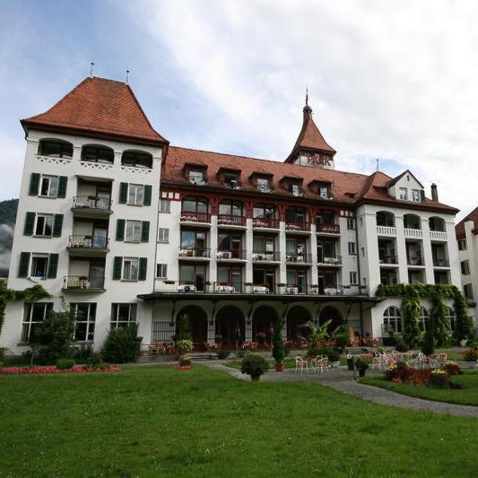
Overview of Hiking Trails to Augstmatthorn
There are three main ways to hike Augstmatthorn, but they differ significantly in distance, difficulty, and exposure.
The Lombachalp loop is the shortest option, but we would not describe it as easy. The route gains around 576 metres over 6.3 kilometres and includes a sustained steep climb, a steep descent, and an exposed ridge between Augstmatthorn and Suggiture.
It is best suited to hikers with proper footwear, sure footing, and no serious fear of heights. The local tourism office specifically notes that the complete loop is not suitable for small children or people who are not comfortable with exposure.
The out-and-back hike from Harder Kulm is much longer and more physically demanding. It covers around 17 kilometres with roughly 900 metres of ascent, making it a full-day mountain hike rather than a medium walk.
Starting from Harder Kulm gives you a longer ridge experience and easy access by funicular. However, the Lombachalp loop still includes the signature section between Augstmatthorn and Suggiture, which we found to be the highlight of the hike.
The third option is the complete Brienzergrat traverse, often referred to online as the Hardergrat Trail. This is a completely different undertaking from the two regular Augstmatthorn routes.
Part of the traverse between Chruterepass and Blasenhubel is not an official maintained hiking trail. The route includes T5 terrain, narrow exposed sections, loose ground, and places where a fall could have fatal consequences. It should only be considered by highly experienced alpine hikers in completely dry, snow-free, and calm conditions.
The figures below show approximate walking time without long breaks.
| Route | Duration | Distance | Elevation | Difficulty |
|---|---|---|---|---|
| Lombachalp loop | 3 hours | 6.3 km | ↑ 576 m | Moderate |
| Harder Kulm out and back | 7–8 hours | 17 km | ↑ approximately 900 m | Hard |
| Full Brienzergrat traverse | 8–12 hours | 20 km | ↑ 1,200 m / ↓ 2,150 m | T5 / expert only |
Key Highlights
⭐️ Duration: 3 – 12 hours
⭐️ Distance: 6.3 – 20 km
⭐️ Starting points: Lombachalp / Harder Kulm
⭐️ Where to stay: Interlaken
⭐️ Discount travel passes: Swiss Travel Pass | Half Fare Card | Bernard Oberland Pass | Jungfrau Pass
⭐️ Funicular tickets: Harder Kulm funicular tickets
⭐️ What to bring: Food, water, sunscreen, sturdy hiking shoes, camera
Hike from Lombachalp

Distance: 6.3 km
Elevation: 576 m

Duration: 3 h

Difficulty: easy
The Lombachalp loop is the shortest way to experience the signature ridge between Augstmatthorn and Suggiture. However, its relatively short distance should not be confused with an easy walk.
The route gains around 600 metres over just a few kilometres. It includes a sustained steep climb, an exposed ridge section, and a steep descent where hiking poles can be useful. We would classify it as a moderate mountain hike, suitable for hikers with proper footwear, sure footing, and no serious fear of heights.
We chose this route because it allowed us to experience the most memorable part of the ridge without completing the much longer hike from Harder Kulm. You do miss the forest and wider ridge sections closer to Harder Kulm, but the section between Augstmatthorn and Suggiture was the highlight for us anyway.
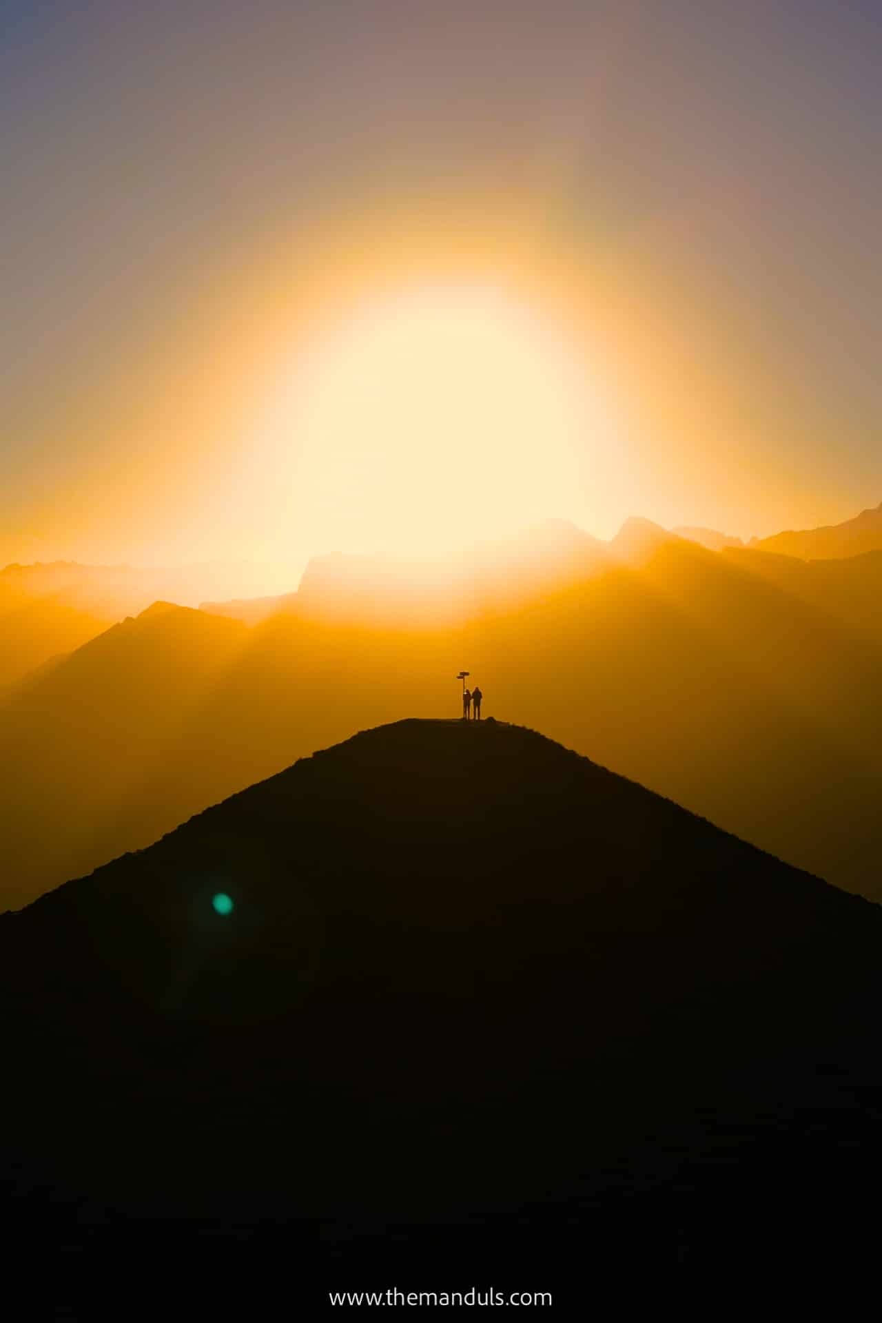
We originally completed this hike for sunrise. However, the current rules published by the municipality of Habkern ask visitors to stay in the Lombachalp area only during the day. Because of this, we no longer recommend starting the hike in darkness or planning it specifically for sunrise.
The best option is to start early after daylight, especially in summer when the ridge can become busier and afternoon thunderstorms are more likely.
Getting to the Trailhead
The trail starts near Restaurant Jägerstübli and the Lägerstutz parking area on Lombachalp, around six kilometres above the village of Habkern.
By Public Transport
There is no direct bus from Interlaken to Lombachalp. First, take PostBus 106 from Interlaken West to Habkern, Zäundli. From there, change to Bus alpin line 107 for Lombachalp–Roteschwand.
In 2026, the summer Bus alpin operates daily from May 30 to September 27. Service is limited, with only two daily connections until June 26 and four from June 27. Most departures must be reserved by phone, including return journeys from Lombachalp.
Only selected morning services run without a reservation. Because the timetable is limited, check the connection in advance and reserve your return journey before starting the hike.
In 2026, Bus alpin tickets cost:
- Adults: CHF 11 one way or CHF 17 return
- Children aged 6–16: CHF 7 one way or CHF 10 return
- Dogs: CHF 5
Bring cash, as mobile reception can be unreliable around Lombachalp.
Bus alpin uses a separate fare system, and most Swiss public transport passes are not valid on this section. Your pass may still cover or discount the regular PostBus journey between Interlaken and Habkern, so check the exact coverage when planning the route.
Schedules and reservation requirements can change. Confirm the latest connection through SBB or the official Bus alpin website before your hike.

You can use the Swiss Travel Pass or Berner Oberland Pass on this route. You also get a discount with a Half Fare Card.
By Car and Parking
We drove to Lombachalp from Interlaken. The journey takes around 30 minutes, but the final six-kilometre road from Habkern is narrow and more demanding than the distance suggests. Drive slowly and be prepared to meet vehicles coming in the opposite direction.
Parking is available at Lägerstutz near Restaurant Jägerstübli, but the number of spaces is limited. The official local guidance warns that traffic and parking pressure increase significantly during good weather.
Parking fees in Zone 1, which includes Lägerstutz, are:
- Up to 4 hours: CHF 8
- Up to 12 hours: CHF 10
- Up to 24 hours: CHF 13
For the complete Augstmatthorn loop, we would choose the 12-hour ticket rather than relying on four hours. The official walking time is around three hours, but photo stops, wildlife sightings, and breaks can easily make the hike longer.
Tickets are available from the machines near the village fountain in Habkern or at Lägerstutz. When we visited, we could also arrange payment at the restaurant, but we would not rely on this as the standard payment method.
Arrive early on clear summer weekends. A less stressful alternative is to park in Habkern and continue to Lombachalp with Bus alpin.
Facilities on the trail
The only facilities are at the trailhead near Lägerstutz. Restaurant Jägerstübli serves food and drinks, and public toilets are available in the same area.
In summer 2026, the restaurant is scheduled to open from May 23 and operate from 9:30 AM to 6 PM when the weather is suitable. Opening can depend on conditions, so we would check before relying on it for a meal.
Once you start climbing towards Augstmatthorn, there are no mountain huts, restaurants, or reliable places to refill water. Bring enough food and water for the complete loop, especially on warm days.
Trail description
Part 1: Lombachalp to Augstmatthorn
- Distance: 2.4 km
- Elevation: ↑ 568 m
- Duration: 1.5 h
The first section contains almost all of the climbing. From Lombachalp, the marked mountain trail initially crosses open meadows before becoming progressively steeper as it climbs towards the Brienzergrat ridgeline.
When we completed the hike, recent rain had left several muddy and slippery sections near the beginning. This part may feel straightforward in dry conditions, but proper hiking shoes make a noticeable difference after wet weather.
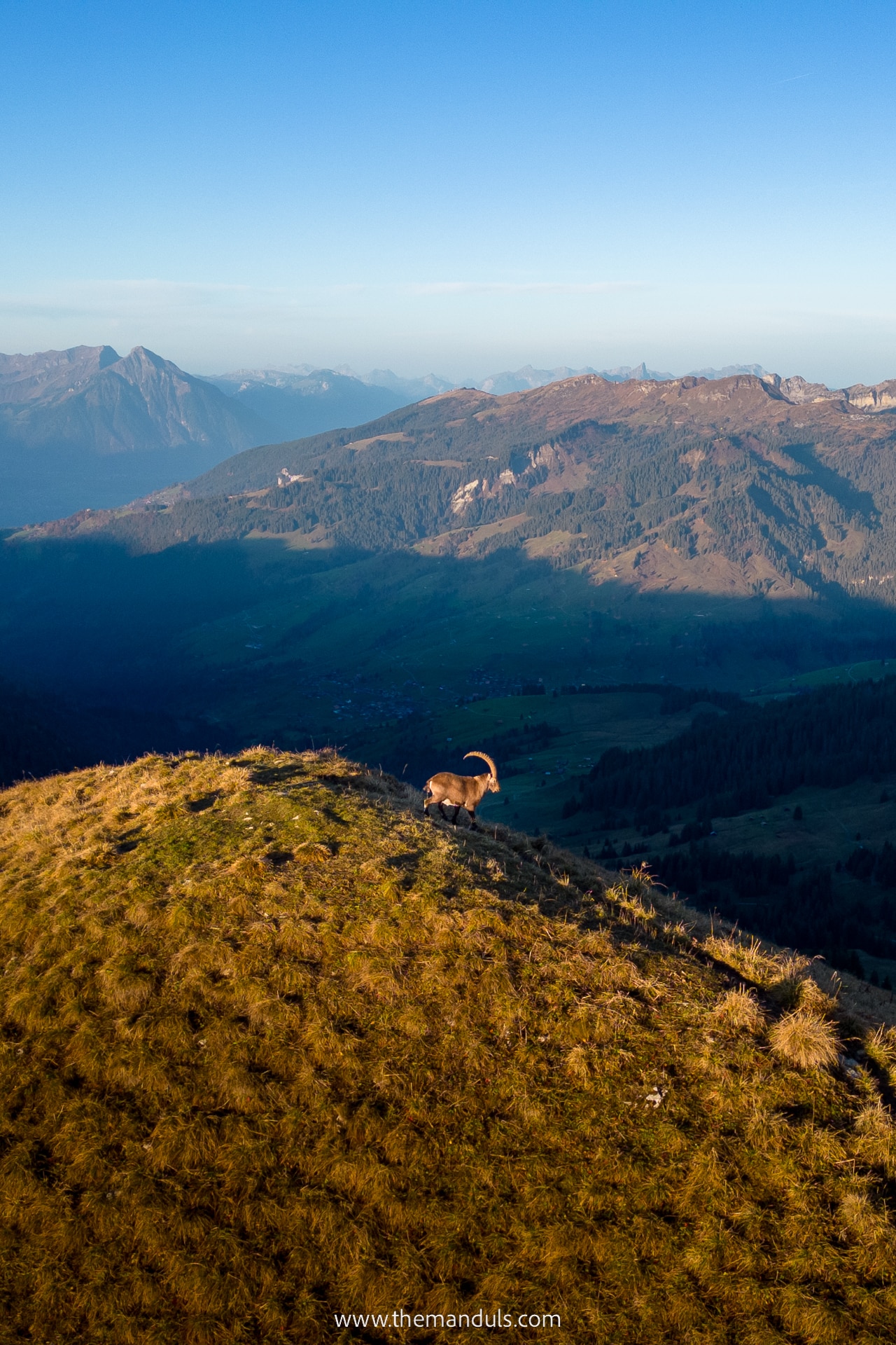
Higher up, the trail becomes steeper and starts climbing in zigzags. We saw several ibex beside the route, but wildlife sightings are never guaranteed. This is a protected area, so stay on the marked trail, keep your distance, and never follow the animals away from the path.
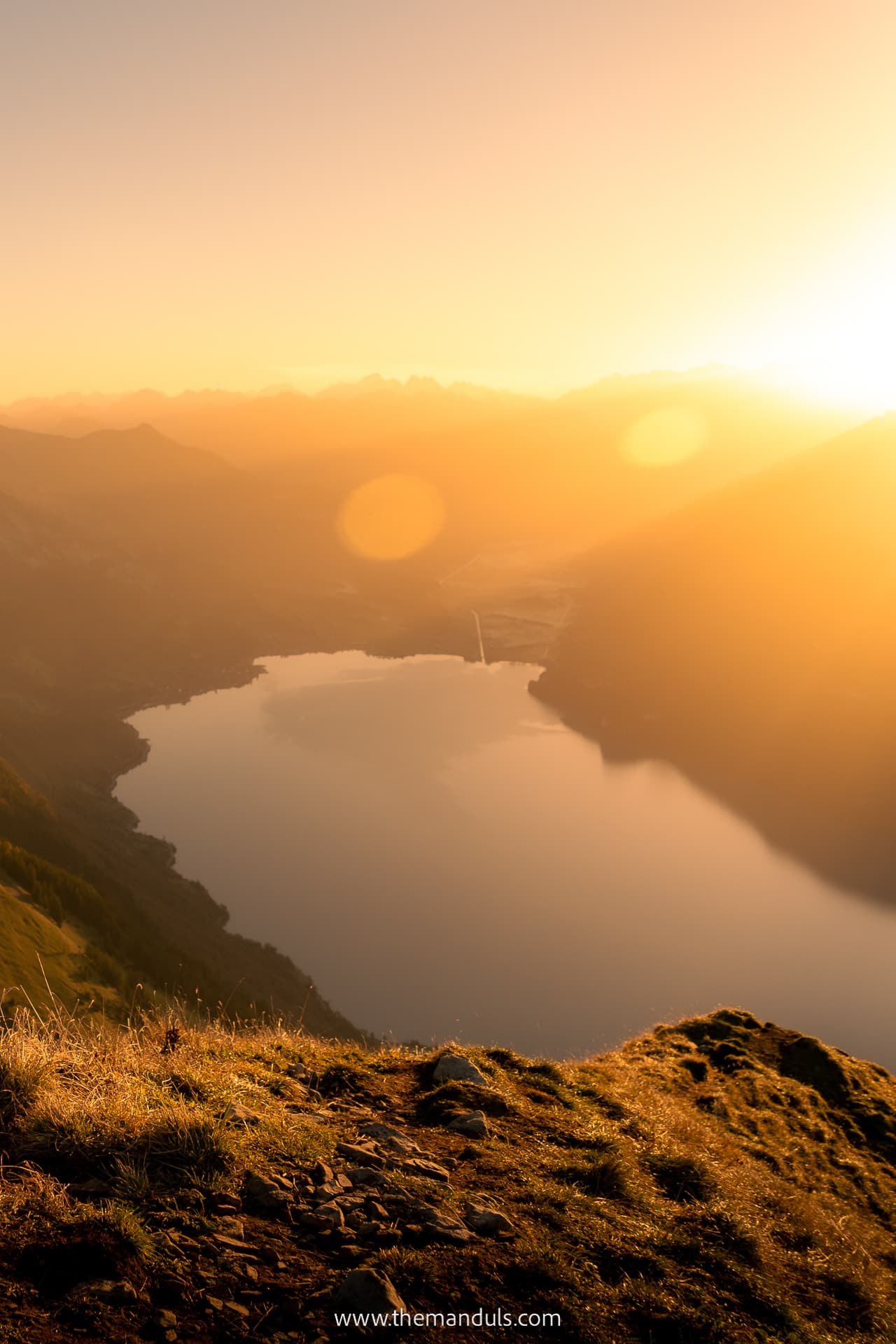
The climb eventually reaches the main ridgeline near point 2101. From there, turn left for the final short section to the Augstmatthorn summit.
We reached the ridge faster than the signposted time, but we would still allow around 1.5 hours for the ascent at a steady pace. The climb is sustained, and stopping for wildlife or views can easily make it longer.
We originally completed this section before sunrise. However, the current Lombachalp visitor rules ask people to stay in the area only during daylight hours. We therefore no longer recommend starting in darkness and would begin the hike after daylight instead.

If you plan to do this for sunrise, bring warm clothes. We were freezing at the top while waiting for the first rays of the sun.
Part 2: Augstmatthorn to Suggiture
- Distance: 1 km
- Elevation: ↑ 21 m, ↓ 75 m
- Duration: 0.5 h
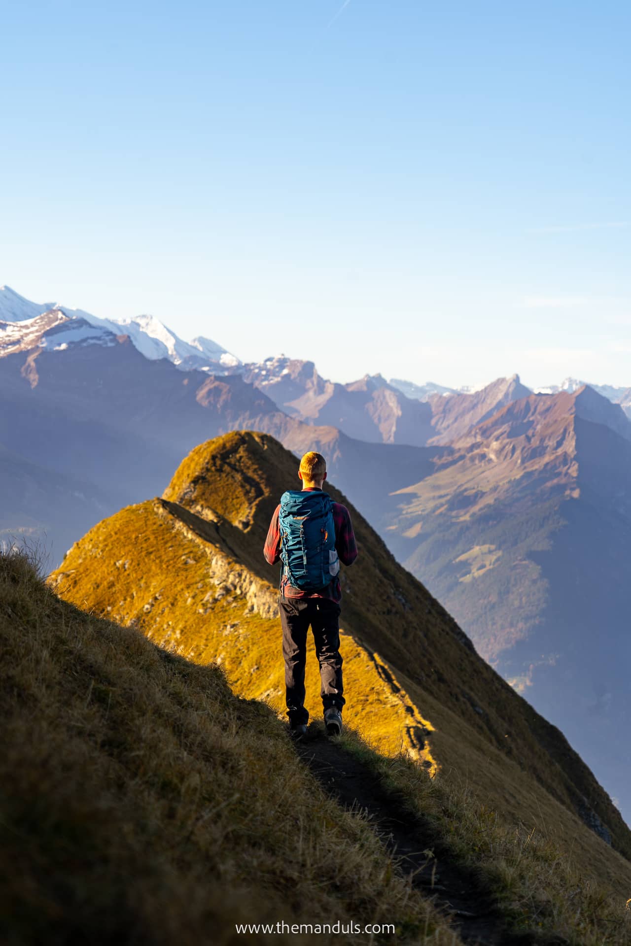
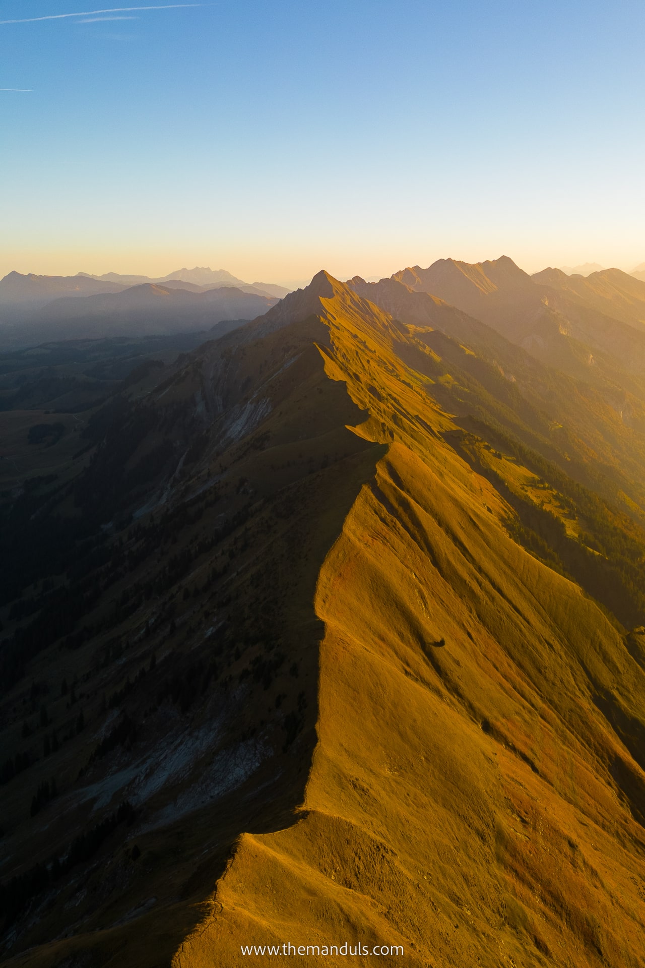
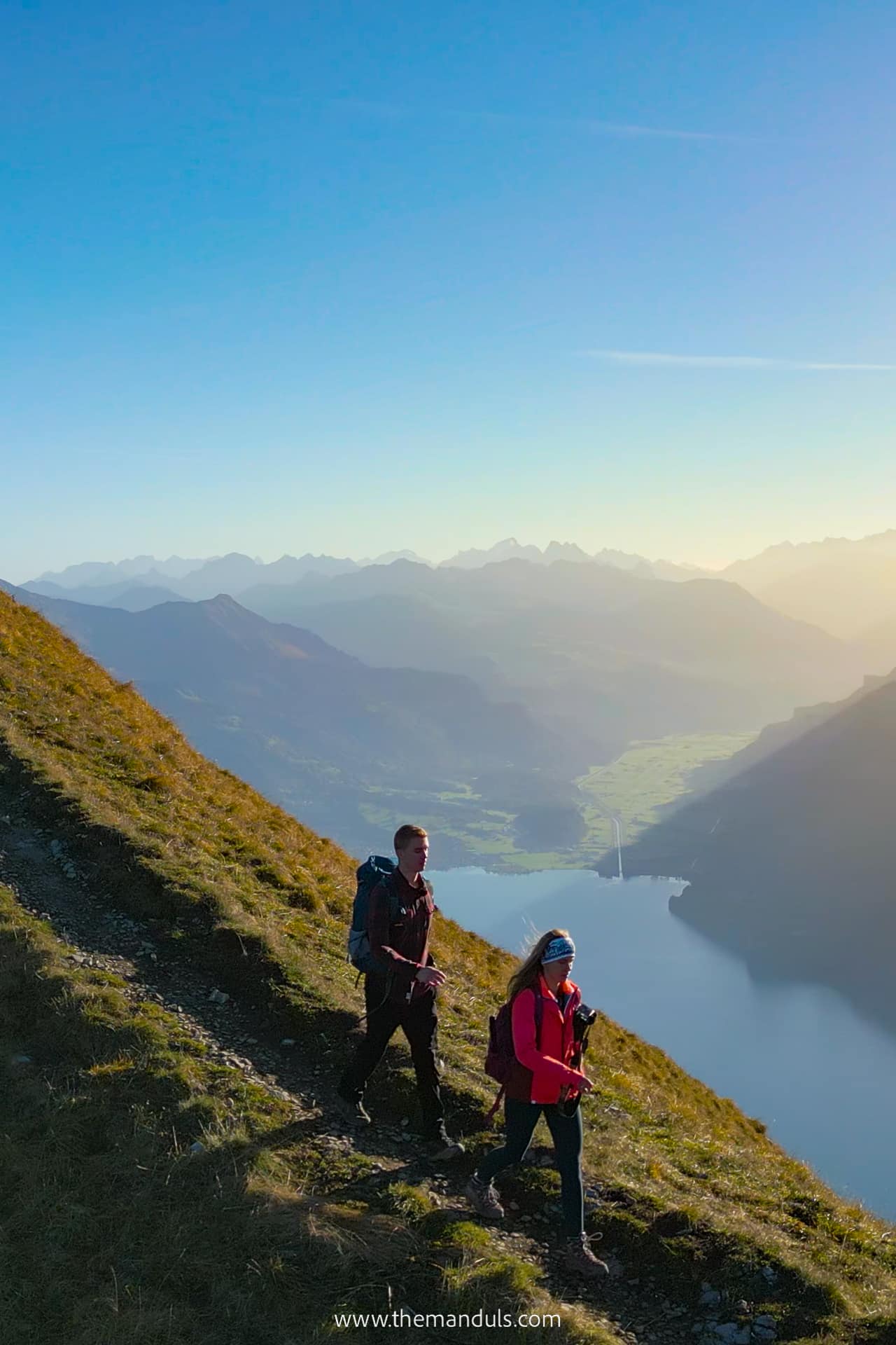
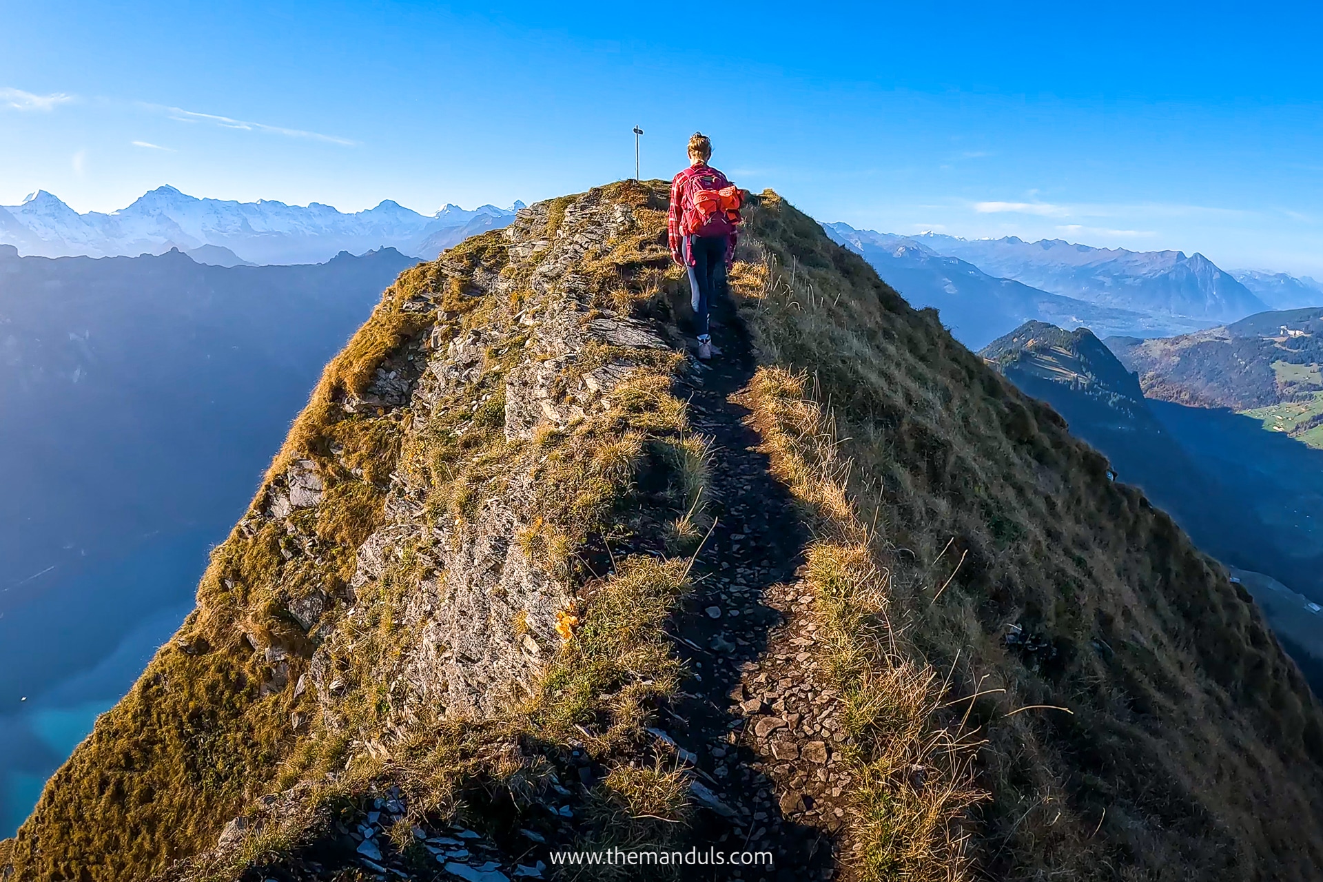
This is the most scenic but also the most exposed part of the Lombachalp loop. The trail follows the ridge from Augstmatthorn towards Suggiture, with open views over Lake Brienz on one side and the mountains around Habkern on the other.
The distance is short and there is little elevation change, but that does not make this an easy section. Parts of the path are narrow, with steep slopes beside the trail and no barriers. We felt uneasy in a few places, especially where the ground dropped away on both sides.
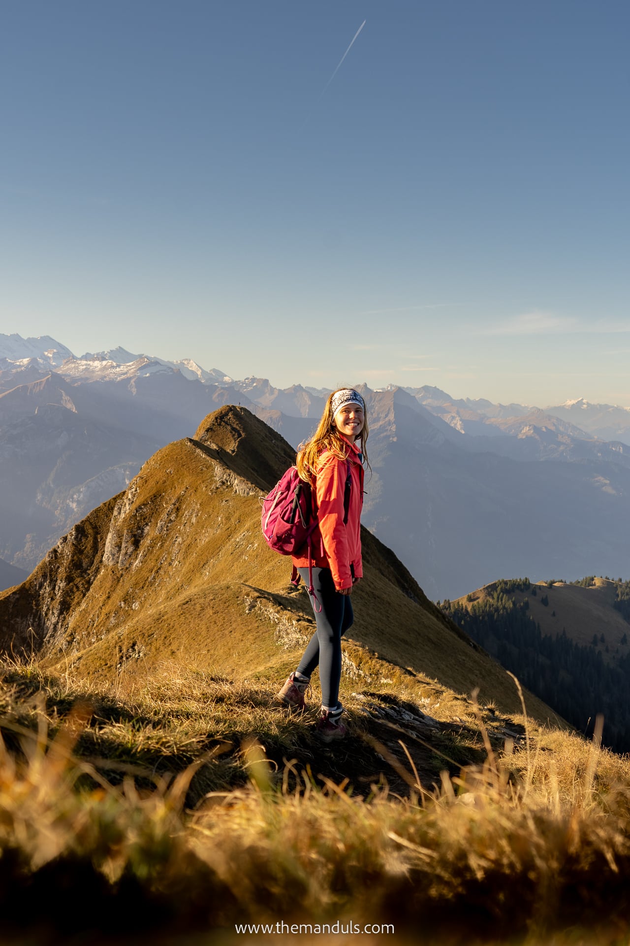
In dry and calm conditions, the route does not involve climbing or scrambling. However, it still requires sure footing, a good head for heights, and full concentration. A slip on an exposed section could have serious consequences.
The municipality of Habkern states that the complete loop through Augstmatthorn and Suggiture is not suitable for small children or people who are not comfortable with heights. We would also not choose it as someone’s first mountain ridge hike.
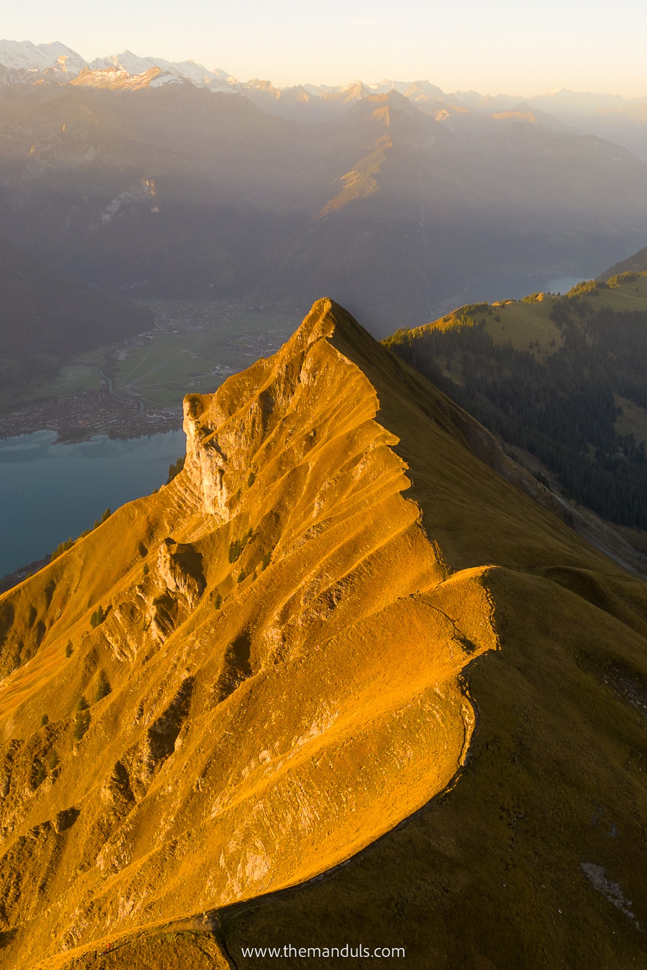
Avoid this section in strong wind, fog, rain, snow, or icy conditions. Wet grass and muddy ground can make the exposed parts significantly less forgiving.
If you reach Augstmatthorn and feel uncomfortable with the ridge, return to Lombachalp along the same ascent route instead of continuing towards Suggiture.
The official walking time is around 30 minutes, but we took much longer because we stopped frequently for photos and waited at wider places when other hikers passed.
Part 3: Suggiture to Lombachalp
- Distance: 2.9 km
- Elevation: ↓ 525 m
- Duration: 1 h
After reaching Suggiture, follow the signs back towards Lombachalp and Lägerstutz via Querweg Stand. This completes the loop.
The first part of the descent is steep and requires more care than the distance suggests. The exposed ridge is mostly behind you, but loose soil, wet grass, and mud can make the downhill section slippery. Hiking poles are useful here, especially after rain.
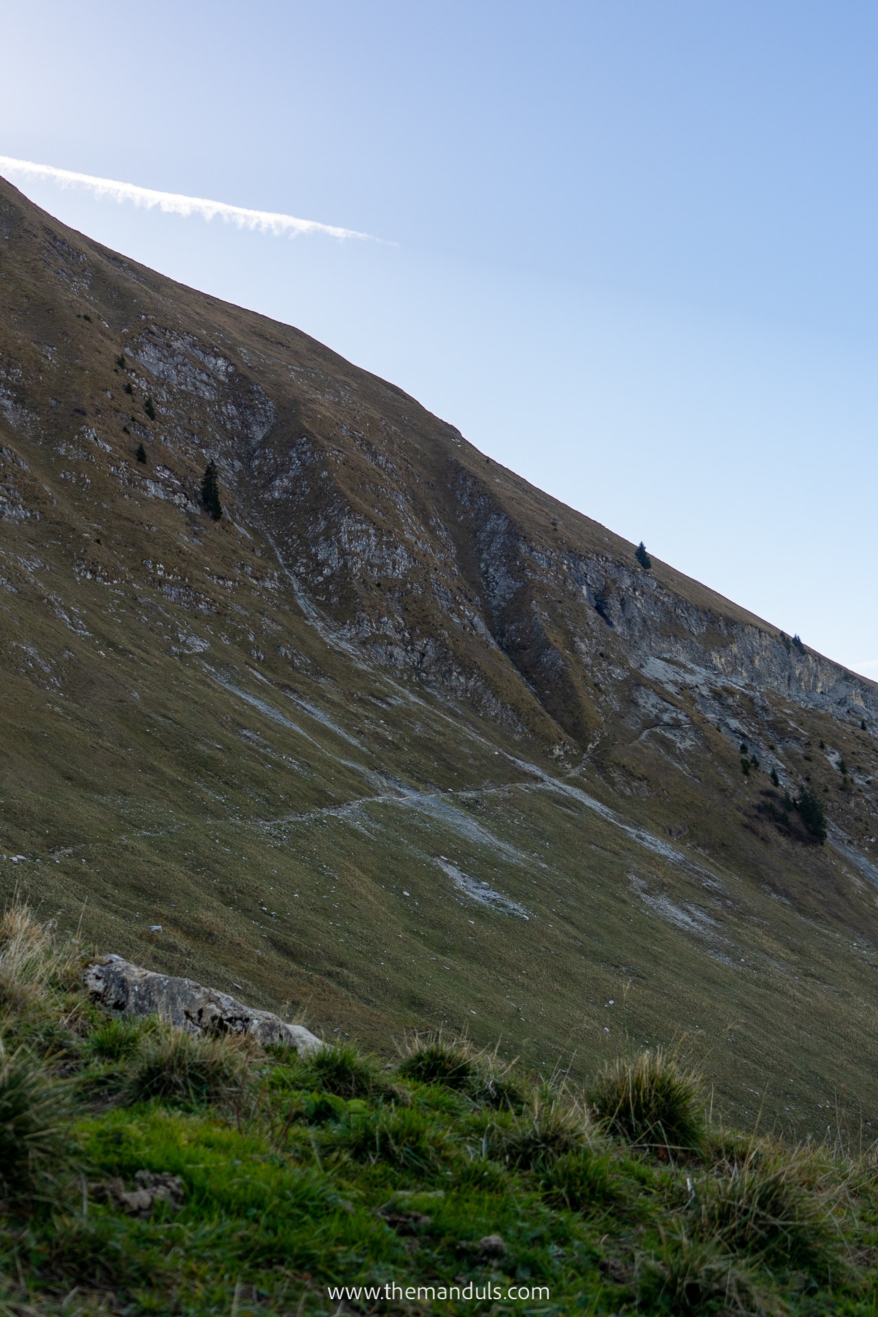
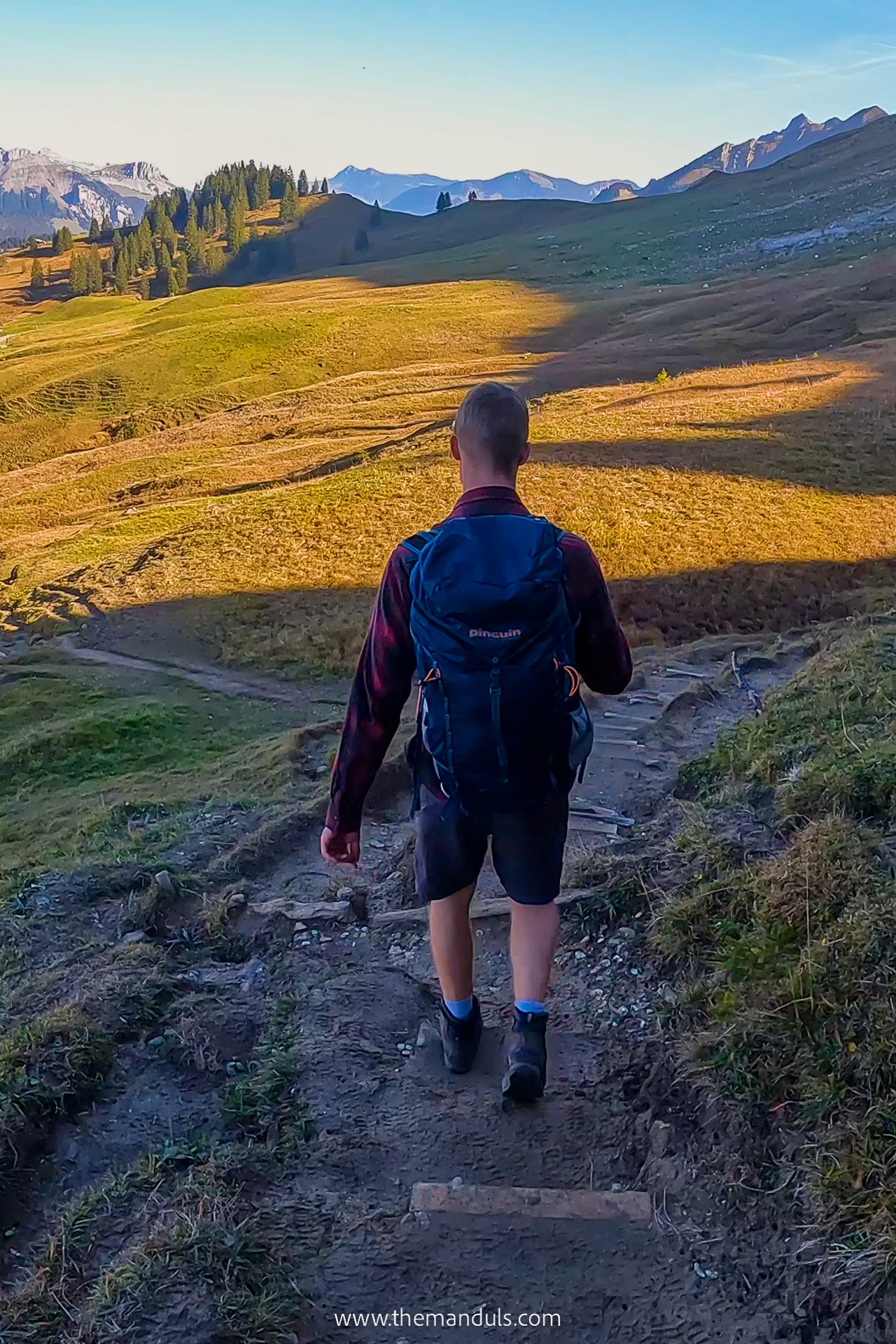
We found the descent longer and more tiring than expected. It gradually becomes easier as the slope softens and the trail returns towards the meadows above Lombachalp.
Near the end, the route reconnects with part of the trail we used during the ascent. When we visited after rain, several sections close to Lägerstutz were muddy, so proper hiking shoes were still useful even after the steepest descent was over.
The loop finishes back at Restaurant Jägerstübli, where we stopped for drinks before returning to Interlaken.
Map of the trail from Lombachalp
Hike from Harder Kulm
Distance: 17 km
Elevation: 576 m
Duration: 7.5 h
Difficulty: medium
The out-and-back hike from Harder Kulm is a much longer and more demanding way to reach Augstmatthorn than the Lombachalp loop.
It covers approximately 17 kilometres with around 900–1,000 metres of cumulative ascent. Although there is no technical climbing, the distance, repeated elevation changes, mountain terrain, and exposed final ridge make this a hard full-day hike rather than a medium route.
Choose this option if you want a longer ridge experience and prefer starting directly above Interlaken. It also includes the viewpoint at Harder Kulm and more time walking along the Brienzergrat.
However, much of the first section passes through forest, and the most dramatic part is still the ridge between Suggiture and Augstmatthorn. If your main goal is to see that section without spending the whole day hiking, we would choose the shorter Lombachalp loop instead.
Getting to the Trailhead
Funicular to Harder Kulm
The easiest way to reach the trailhead is by taking the Harderbahn funicular from Interlaken. The lower station is around a seven-minute walk from Interlaken Ost, across the River Aare.
The ride takes approximately ten minutes. In 2026, the funicular operates from April 3 to November 29, but this does not mean the complete hiking trail is free of snow throughout that period.
The first departure is currently scheduled for 9:10 AM. This is relatively late for a seven-to-eight-hour mountain hike, so take the first available connection and avoid adding unnecessary stops at Harder Kulm before starting.
On the main summer timetable, the final descent leaves Harder Kulm at 9:40 PM. Operating hours vary during the season, so check the timetable for your exact date rather than planning around one fixed last departure.
A standard return ticket costs CHF 44 in 2026. The Swiss Travel Pass, Swiss Travel Pass Flex, and Swiss Half Fare Card provide a 50% discount.
The Jungfrau Travel Pass includes the Harderbahn. The Berner Oberland Pass does not include it fully but gives a 50% discount.
You’ll sometimes get the cheapest price on GetYourGuide or Klook.
Do not plan to watch sunset from Augstmatthorn just because the funicular operates late. You still need several hours to return from the summit, and hiking the ridge in fading light would leave little margin for delays, poor weather, or a missed final descent.
Hike to Harder Kulm
- Distance: 4.1 km
- Elevation: ↑ 750 m
- Duration: 2.5 h
You can also hike from Interlaken Ost to Harder Kulm instead of taking the funicular.
The official route is approximately 4.1 kilometres long, gains 759 metres, and takes around 2.5 hours. Much of the ascent follows steep switchbacks through the forest, with several exposed places where you should remain on the marked trail.
We would only combine this climb with the Augstmatthorn hike if you are very fit and specifically want a long, demanding day. Hiking to Harder Kulm before continuing to Augstmatthorn increases the total ascent to well over 1,600 metres.
A more realistic option is to hike up to Harder Kulm as a separate activity or walk up and take the funicular back down. For the full Augstmatthorn out-and-back route, we would save time and energy by using the funicular in both directions
Facilities on the trail
Food, drinks, and toilets are available at Harder Kulm before you start the hike.
Once you leave the developed summit area, there are no mountain huts, restaurants, or reliable water refill points along the route to Augstmatthorn. Carry enough food and water for a full-day hike and do not rely on streams as drinking-water sources.
The Panorama Restaurant can be busy, so we would bring everything needed for the hike rather than planning to buy supplies immediately before departure.
Trail description
Part 1: Harder Kulm to Suggiture
- Distance: 7.3 km
- Elevation: ↑ 804 m, ↓ 48 m
- Duration: 3 h
The first section is less scenic than the final ridge, but it accounts for most of the distance and climbing.
From Harder Kulm, follow the marked mountain trail east towards Augstmatthorn. Much of the first part passes through forest, where the views are limited and the ground can be covered with exposed roots, mud, and slippery leaves.
This section may look straightforward, but it should not be treated as an easy forest walk. The route repeatedly gains elevation, and the uneven ground becomes tiring over a long distance, especially when you know you still have to return the same way.
The views begin to open as the trail reaches the higher ridge. From here, you can see Lake Brienz to the south and the mountains around Habkern to the north.
Some parts of the ridge are relatively broad, but steep slopes remain close to the trail. Exposure gradually increases as you approach Suggiture, and fog or strong wind can make navigation and balance more difficult.
The final ascent towards Suggiture is one of the steepest parts of this section. Allow around three hours from Harder Kulm without long stops, but keep in mind that the same route still has to be completed in reverse.
Part 2: Suggiture – Augstmatthorn
- Distance: 1.1 km
- Elevation: ↑ 77 m, ↓ 29 m
- Duration: 40 min
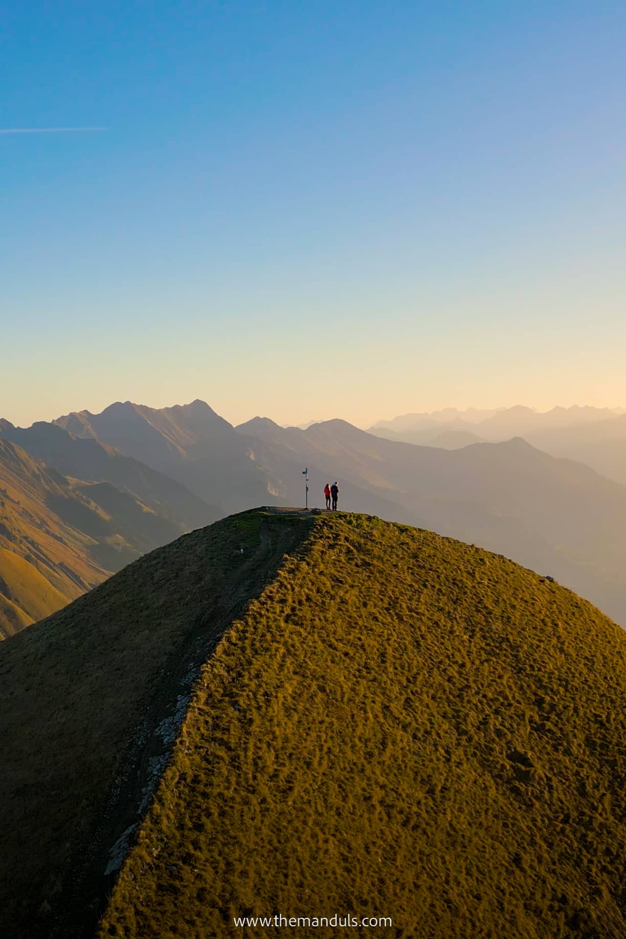
The final section between Suggiture and Augstmatthorn is the highlight of the route, but it is also the most exposed.
The trail follows the narrow ridge with steep slopes on both sides. There is no technical climbing in dry conditions, but you need sure footing, a good head for heights, and full concentration.
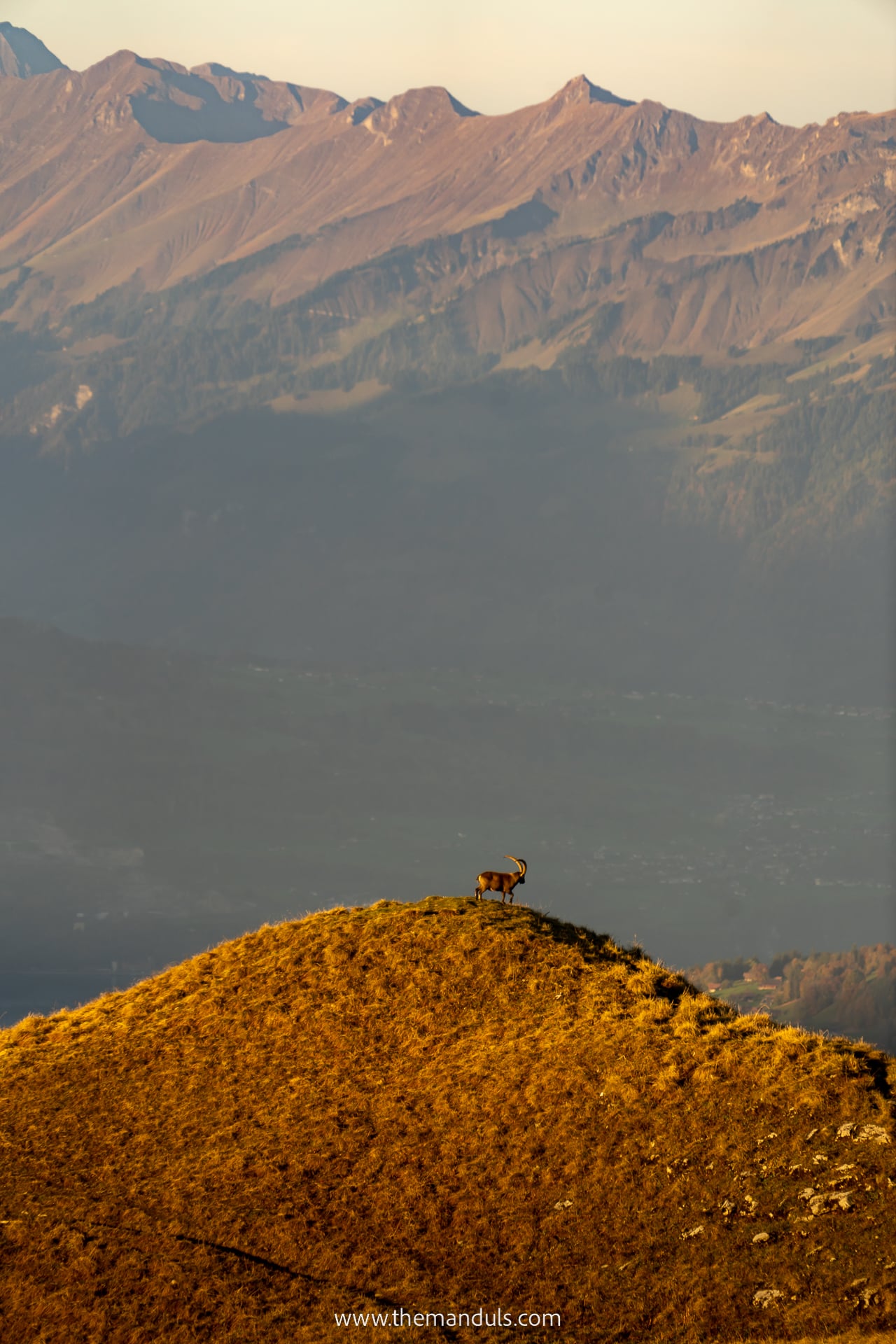
Ibex and chamois are sometimes seen around this part of the ridge, but sightings are never guaranteed. If you encounter wildlife, keep your distance and remain on the marked trail.
The walk from Suggiture to Augstmatthorn usually takes around 30–40 minutes without stops. We spent longer here because this was the section where we stopped most often for photos and views.
Return to Harder Kulm along the same route. Before continuing from Suggiture, check your time, the weather, and how much energy you have left. Allow at least 3.5 hours to return from Augstmatthorn and keep a generous margin before the final funicular.
We would not plan this route around sunset. Delays, worsening weather, or slower progress on the return could leave you walking through exposed mountain terrain in fading light.
Other return routes
Maps also show descent routes towards Oberried, Niederried, Ringgenberg, and Interlaken. We have not completed these routes ourselves, so we do not recommend relying on this article to plan them.
These alternatives involve a major descent from the ridge towards Lake Brienz and can be considerably steeper and more demanding than their distance suggests. Trail conditions, closures, and public transport connections should all be checked separately.
For most hikers, the most practical options are to return to Harder Kulm or descend to Lombachalp after reserving Bus alpin in advance.
Map of the trail from Harder Kulm
Hardergrat hiking trail
Hike distance: 20 km
Elevation: ↑ 1200 m / ↓ 2100 m
Hike duration: 12 h
Difficulty: very hard
Another option is the challenging Hardergrat Trail. It starts at Brienzer Rothorn and ends in Harder Kulm. You can do it both ways, but the elevation gain is way bigger when starting at Harder Kulm.
The hike takes you through three official ridges – Brienzergrat (Brienzer Rothorn – Ällgäulücke), Riedergrat (Ällgäulücke – Augstmatthorn), and Hardergrat (Augstmatthorn – Harder Kulm).
Since this is one of the most challenging hikes in all of Switzerland, we only recommend it to experienced hikers. While deaths are not common, they do happen from time to time. It’s a tough climb both physically and technically.
What makes this hike so difficult is mostly the terrain. Many sections are incredibly steep and feel like climbing. In addition, lots of sections consist of narrow trail with dangerous drop-offs on both sides.
So again, and I can’t stress this strongly enough – unless you’re an experienced mountaineer, DO NOT ATTEMPT TO HIKE THIS TRAIL.
Map of the Hardergrat trail
Best viewpoints on the hike & photography tips
If you’re a photographer like us, you’ll want to know where to take the best photos.
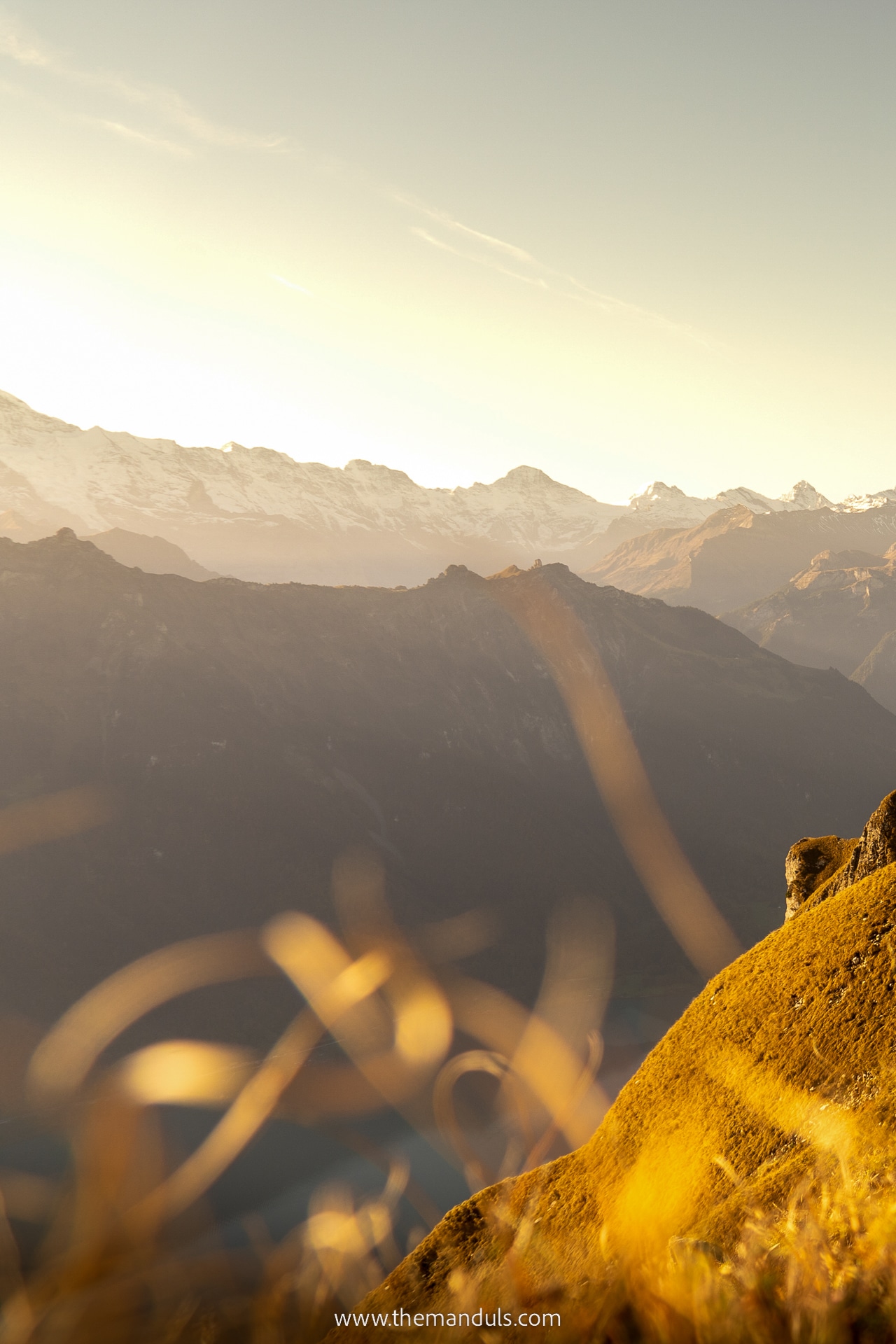
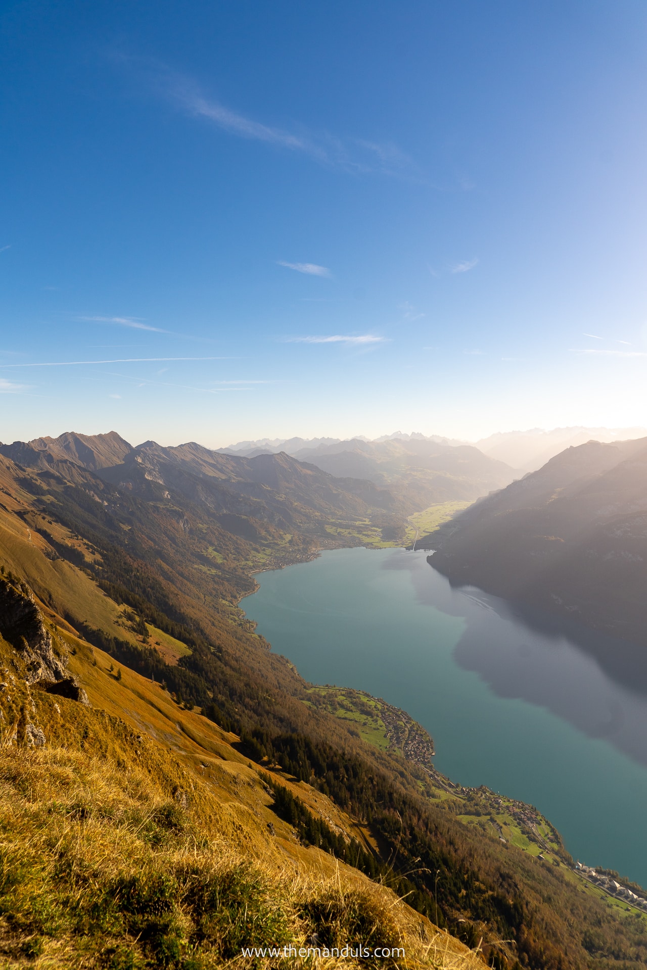
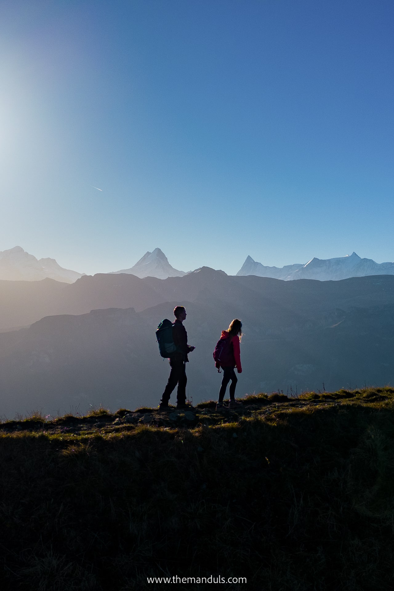
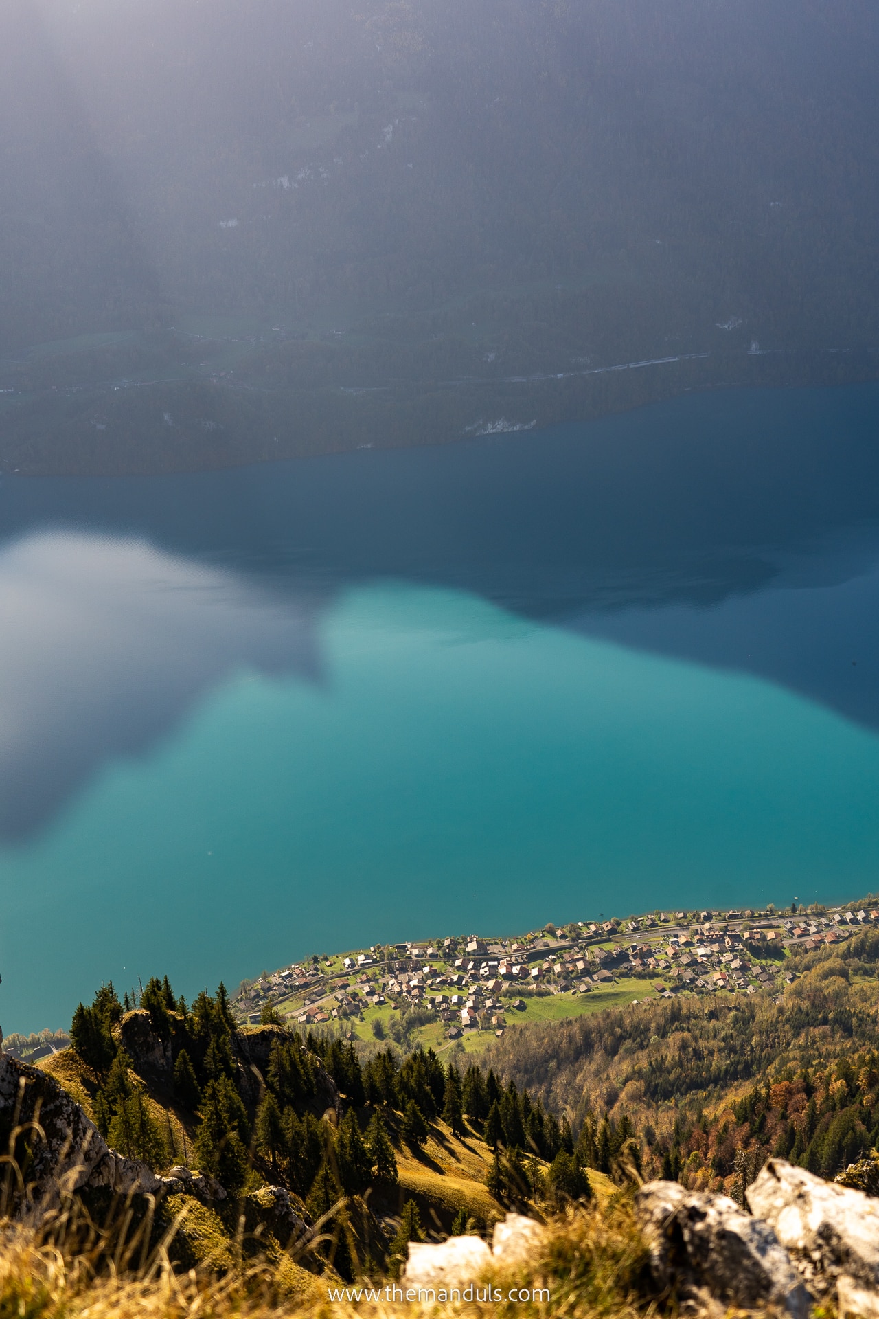
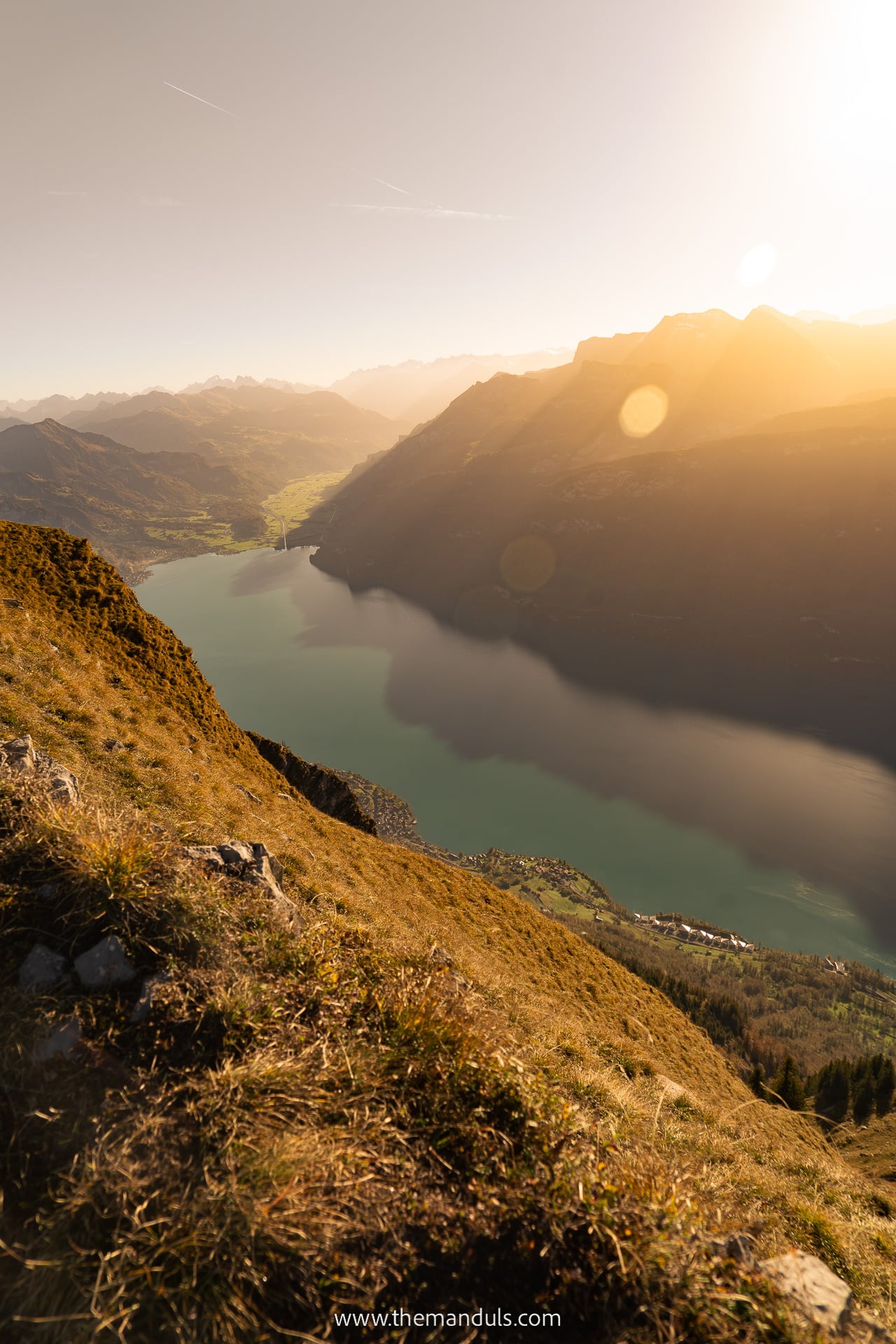
The most iconic spot is found just a 2-minute walk from Augstmatthorn summit and can be seen from the top with the cross. It offers mesmerizing views of Brienzersee from above, as well as the three majestic peaks of the Jungfrau Region – Eiger, Mönch, and Jungfrau.
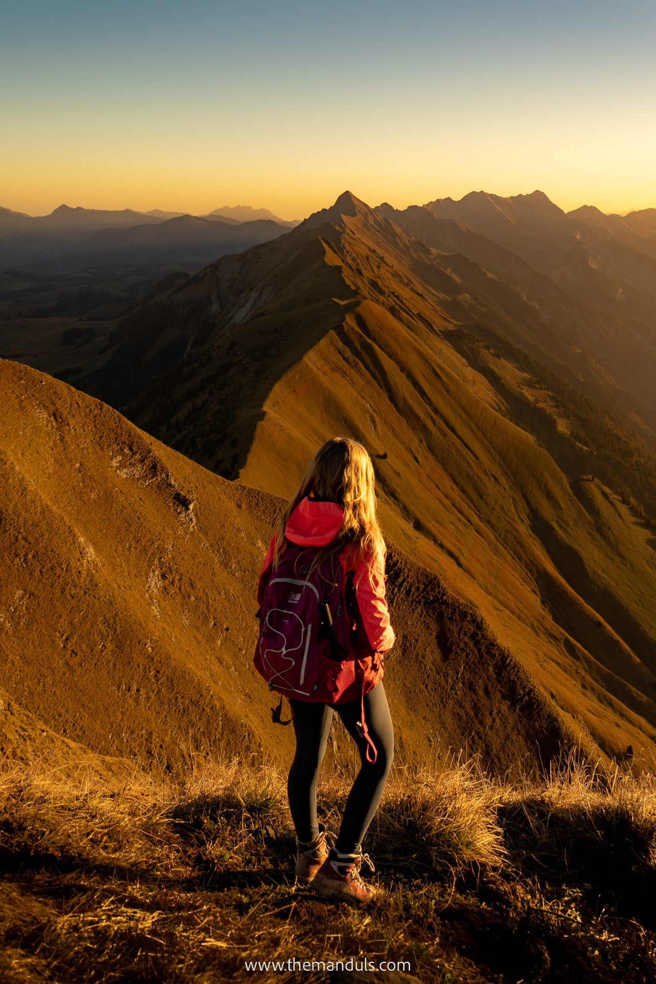
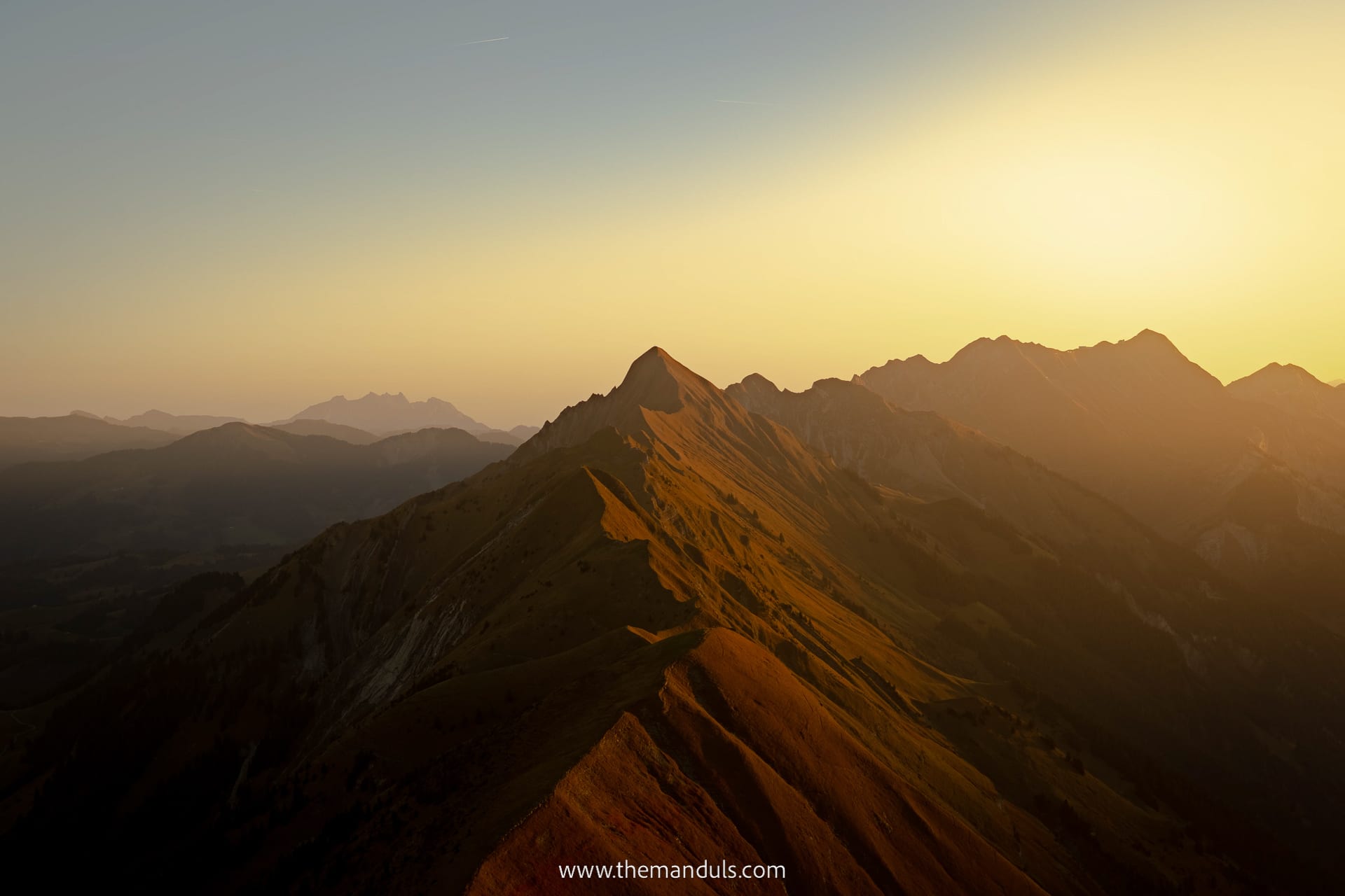
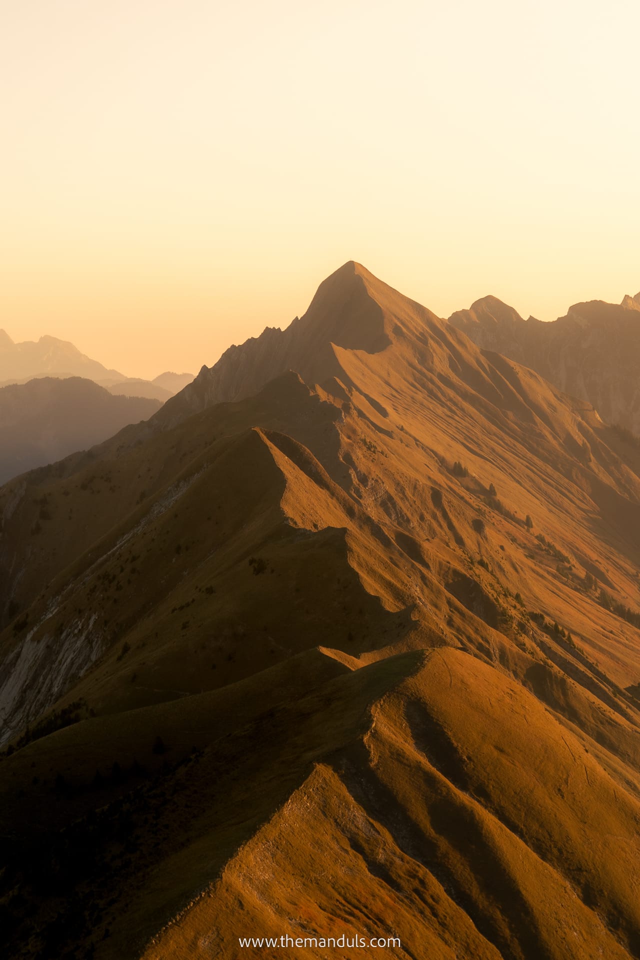
Another scenic part of the trail is the whole section between Augstmatthorn and Suggiture. The trail is perched on top of a sharp ridge with stunning views on both sides. You can try a few different compositions and play with shadows.
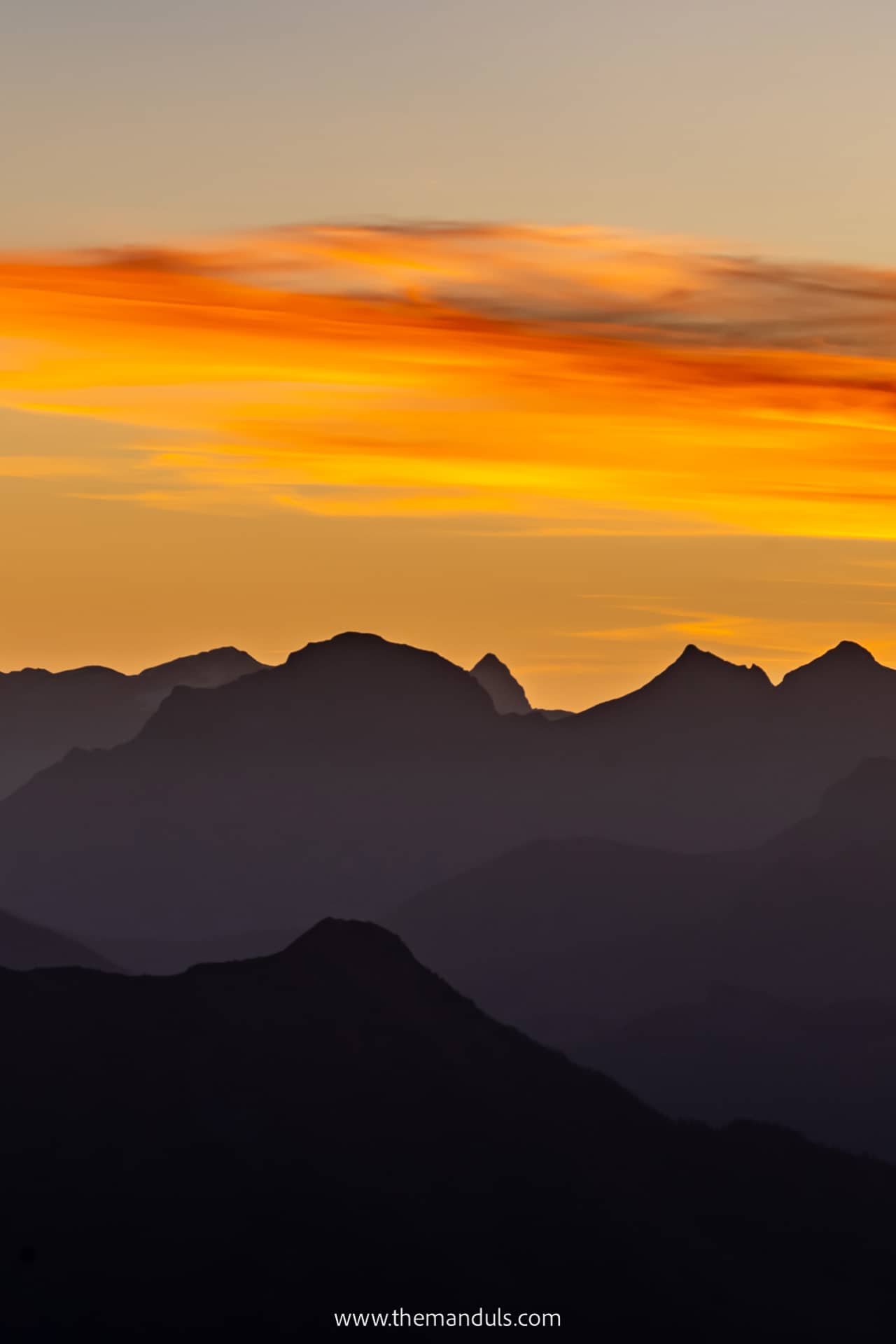
Regarding the light, both sunset and sunrise are just spectacular. But when the sun rises, the mountains cast a huge shadow on Lake Brienz, causing the colors to fade slightly. So to combine both the golden hour colors and capture the turquoise lake, sunset might be a better option.
Frequently asked questions
The complete loop via Augstmatthorn and Suggiture is not suitable for small children. The ridge includes narrow and exposed sections, so older children should only attempt it if they have mountain hiking experience, sure footing, and no fear of heights.
Dogs are allowed, but they must be kept under control and on a leash inside the wildlife protection areas. Keep in mind that the narrow and exposed ridge may not be suitable for every dog.
As mentioned above, bring enough food and water, since you won’t find any facilities on the trail. Additionally, this is no hike for regular sneakers. Proper hiking shoes with a good grip are necessary. Don’t forget to use a sunscreen.
We would not recommend the complete loop to absolute beginners. The Lombachalp route is the shortest option, but it still includes a steep climb, a steep descent, and an exposed ridge that requires sure footing and a good head for heights.
We would not recommend treating Augstmatthorn as a regular winter hike. Snow, ice, steep slopes, and avalanche risk make the summer route considerably more dangerous. In winter, follow only designated routes and check current avalanche and trail conditions. Less experienced hikers should choose one of the marked winter hiking or snowshoe routes around Lombachalp instead.
Best time to hike Augstmatthorn
Regarding the best time of the day, I suggest early morning. If you’re coming via Harder Kulm, take the first funicular if possible. The earlier you start, the less crowded it will be. Another advantage is that you’ll avoid the hot midday sun.
To enjoy the best views, a sunset is also a good option. We hiked Augstmatthorn for sunrise and it was nothing short of spectacular.
Make sure to check the forecast and see if the weather conditions are gonna be good.
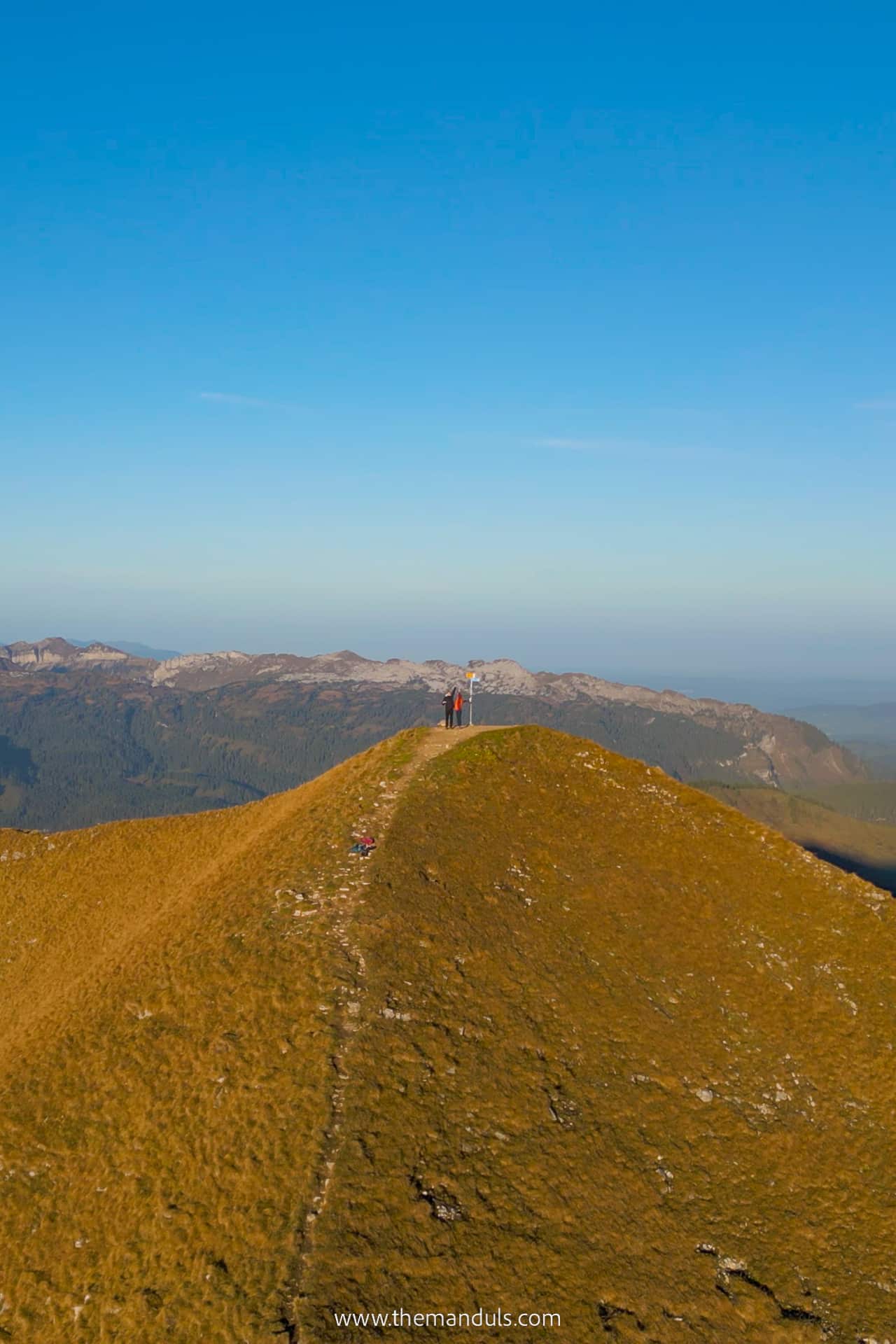
When it comes to the best season, it’s important to note that the trail looks different in each part of the year. To see the ridge covered in lush green colors, summer is the best. In spring, there might still be some snow.
We hiked Augstmatthorn in early October. As you can see in the photos, in autumn the grass turns orange and the vibe changes completely. Winter offers a country covered in snow, but it also means more hazards due to slippery terrain.
Other attractions to visit nearby
- Grindelwald – A beautiful typically Swiss town which offers many hikes, such as Bachalpsee. Adrenaline lovers will love Canyon Swing.
- Jungfraujoch – The highest train station in Europe and the main attraction of the Jungfrau region.
- Lauterbrunnen – A dramatic valley with 72 waterfalls, including Staubbach Falls, one of the highest free-falling waterfalls in Europe.
- Oeschinensee – A bit further away, but well worth the trip! This lake will take your breath away!
Final thoughts on Augstmatthorn hike
Augstmatthorn certainly deserves a spot on the list of the best ridge hikes in Switzerland. Those views are simply unbeatable! Whether it’s the incredible color of Lake Brienzsee (which I still can’t believe to be real), or the majestic peaks of the Jungfrau Region.
We had a truly memorable day and witnessed a sunrise we won’t forget easily. And no, it’s not because we had to freeze at the top for one hour to see the sun :D.