This article contains affiliate links. Learn more in our affiliate disclosure.
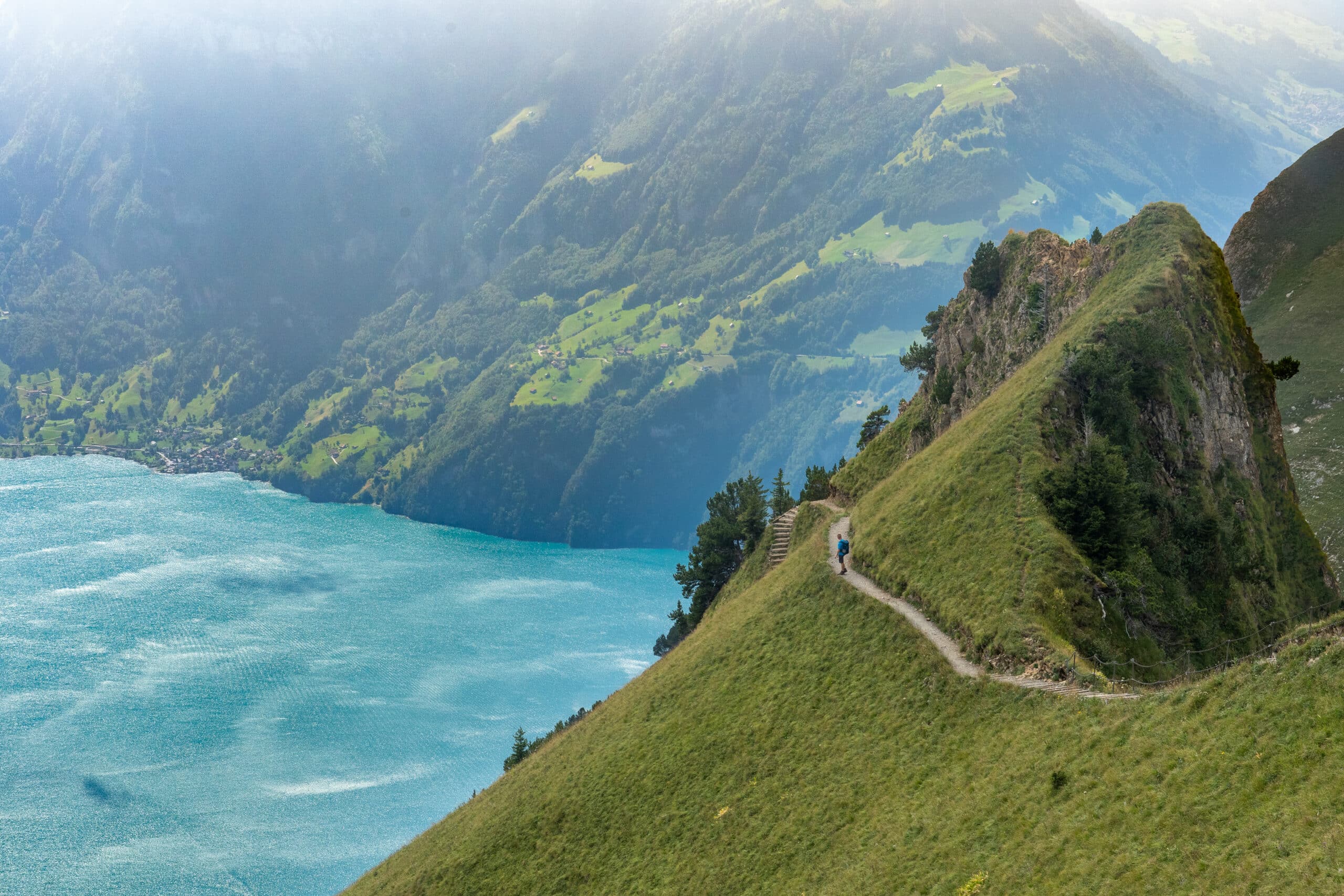
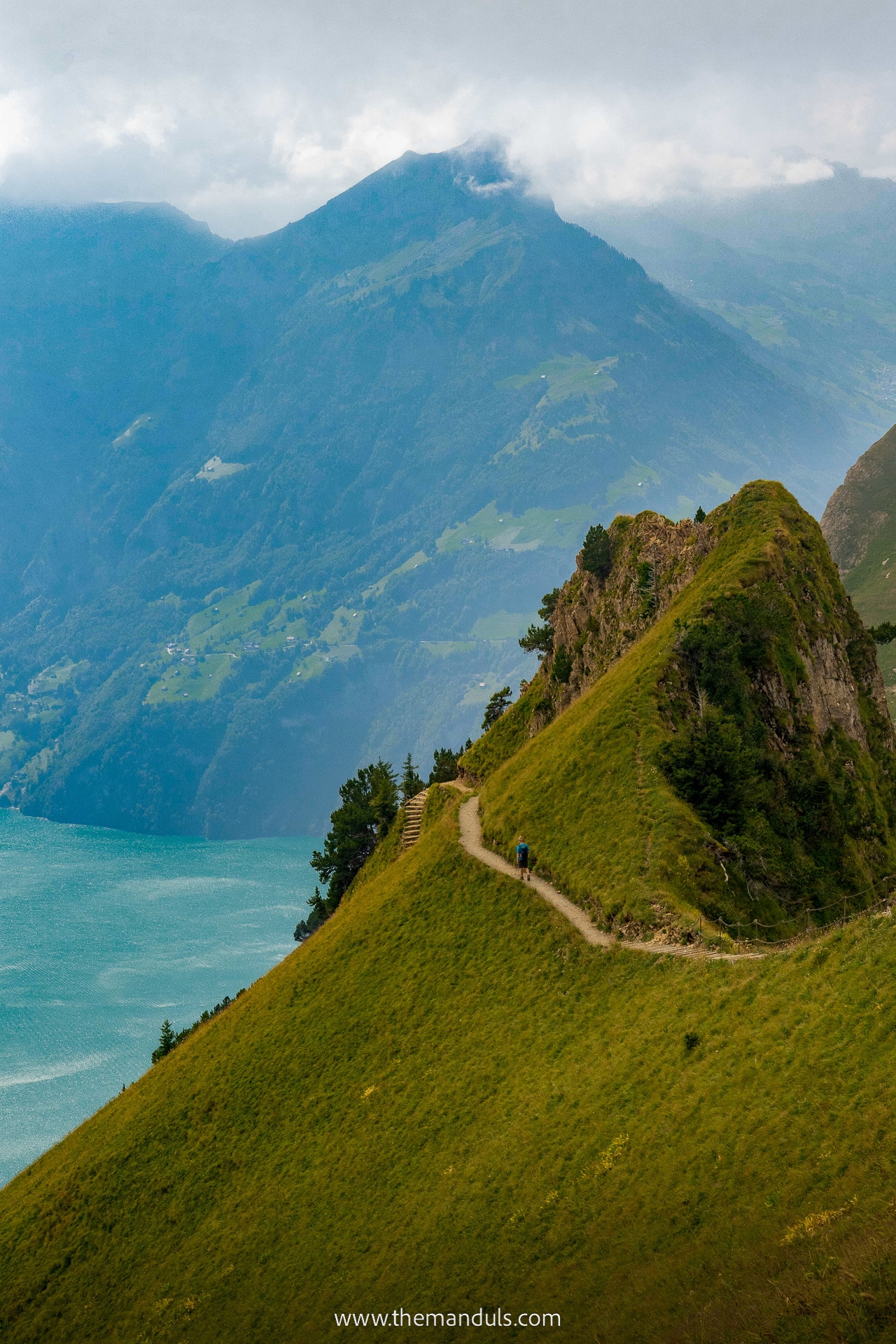
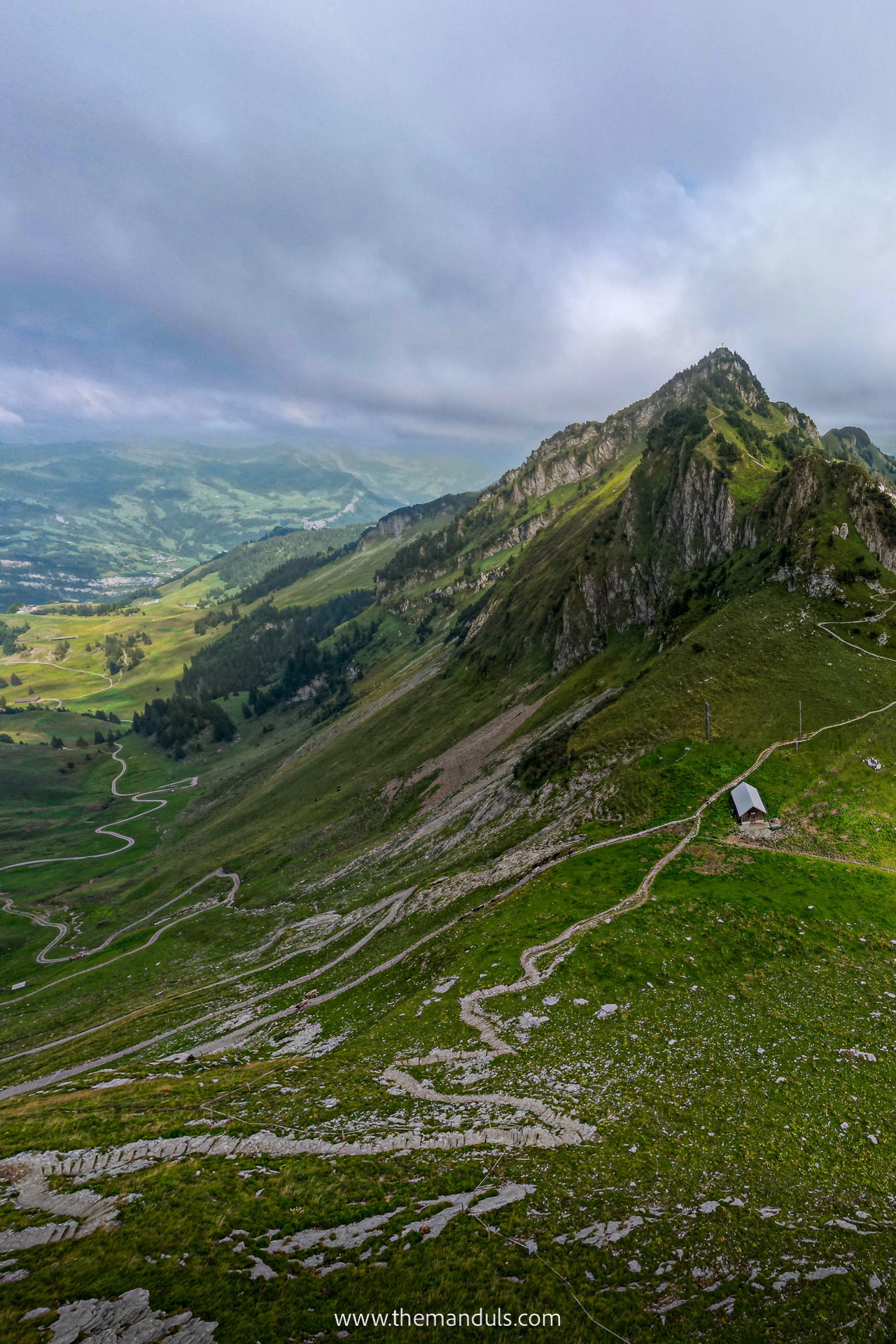
Stoos Ridge Hike connects two peaks – Klingenstock and Fronalpstock with a beautiful hiking trail. It offers incredible views of surrounding peaks and 10 alpine lakes. It’s one of the most amazing ridge hikes in Switzerland!
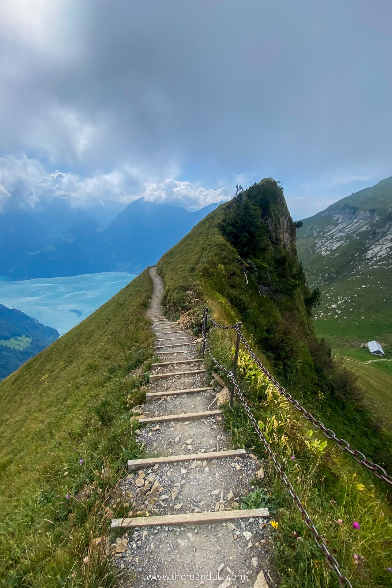
What makes this one so special is the thrilling ridge line with a narrow alpine trail and steep drop-offs on both sides. Unless you’re scared of such trails, you’ll love it here! But if you’re looking for even scarier experience, don’t miss the Via Ferrata Mürren!
We hiked the trail on a weekday in July and had an awesome time.
Stoos Ridge Hike is easily one of our favorite ridge hikes, together with Augstmatthorn. And great news is that it offers impeccable views for little effort.
In this article you’ll learn how to get here, ticket prices, operating hours, discounts you can use, and the trail conditions.
Where is Stoos Ridge Hike
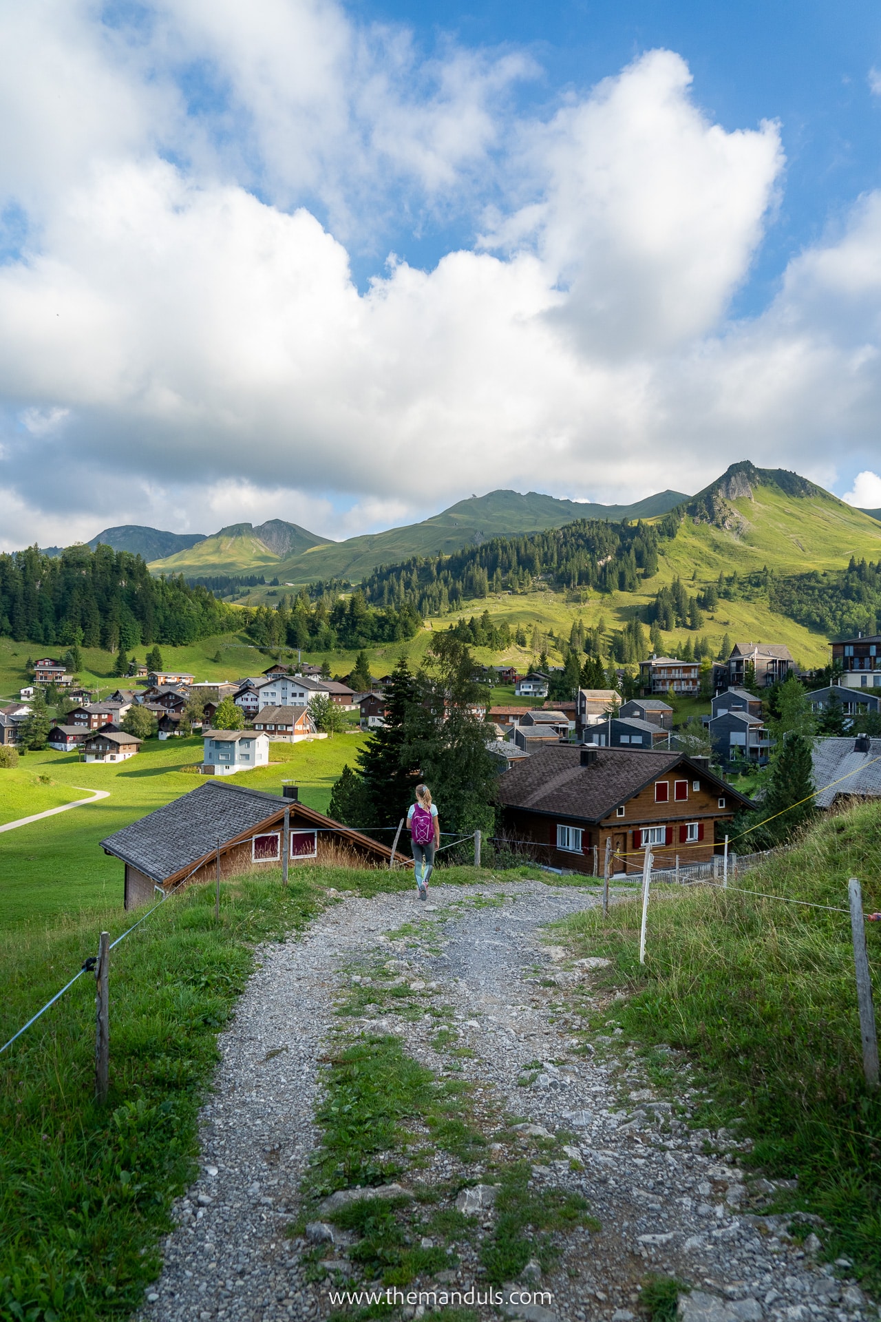
Stoos Ridge Hike lies between two peaks – Klingenstock and Fronalpstock, which are upper cable car stations at the same time. This panorama trail lies above a car-free Stoos village in canton Schwyz. The Stoos hiking area is more or less in the central region of Switzerland.
The nearby cities are Lucern, which is 50 km away, and Zürich is only 60 km away.
Save the location of Stoos to your Google Maps.
Stoos Ridge Hike overview
Trail highlights
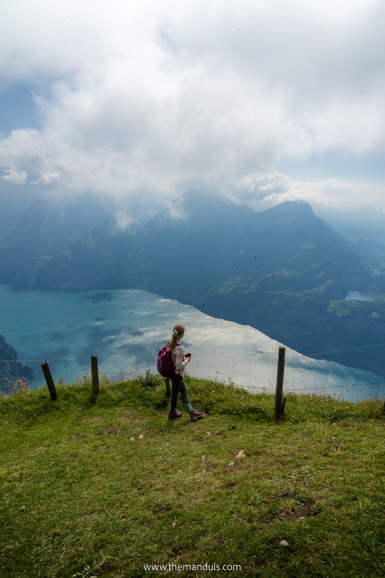
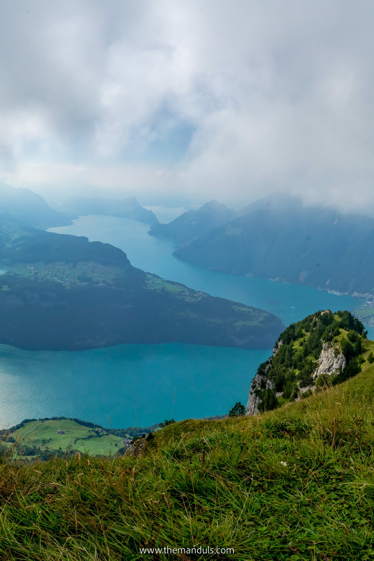
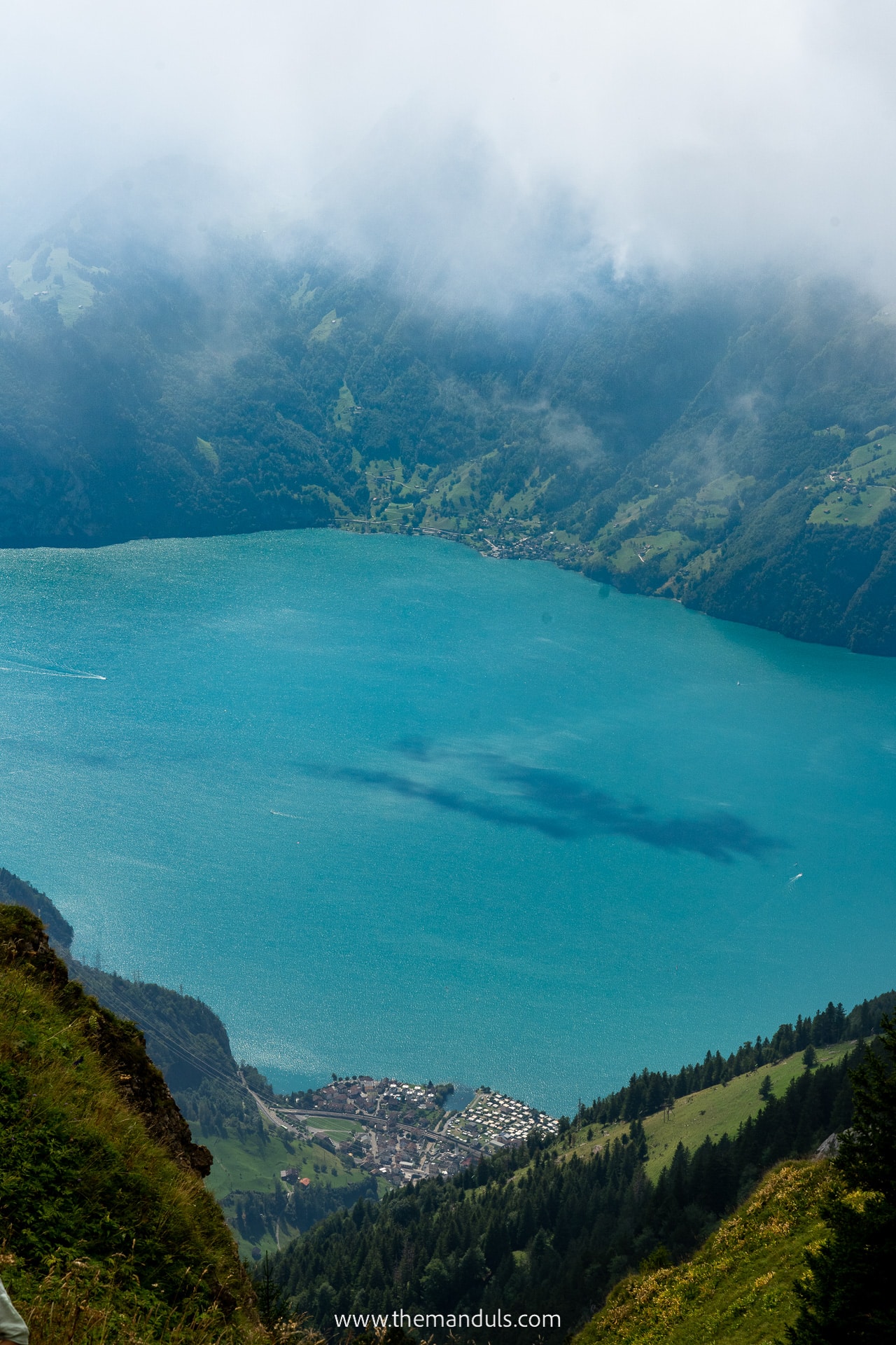
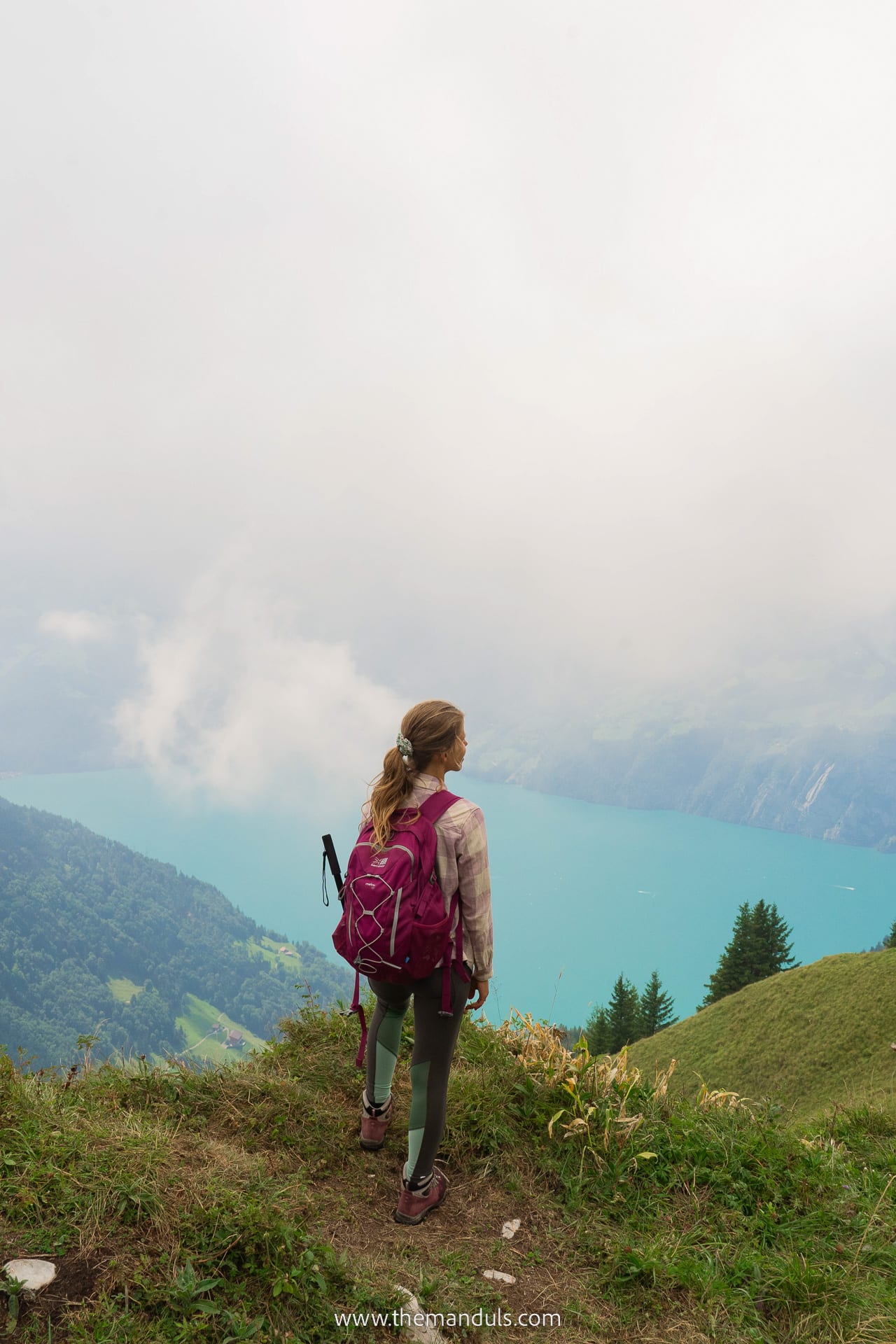
The number one reason why it’s worth hiking the Stoos Ridge Hike is the views! The hiking trail between Klingenstock and Fronalpstock offers incredible mountain views. We could also see 10 different lakes from the top! The biggest highlight for us was the view of Lucernsee.
If you’re looking for another hike with lake views, we also recommend checking out the Oeschinensee Panorama Hike.
Another reason why you should do the Stoos Ridge Hike is its central location. So if you’re looking for some less popular places, like Lavertezzo, to include in your Switzerland itinerary, look no further!
To reach Stoos, we also had to ride the world’s steepest funicular with a mind-blowing gradient of up to 110% (47.7°). Let me tell you, this was a memorable experience!

Difficulty level
When it comes to the physical level required for this panorama trail, I would say it’s a moderate difficulty. We crossed a few steeper sections, but mostly many stairs. Even beginner hikers will have no trouble here.
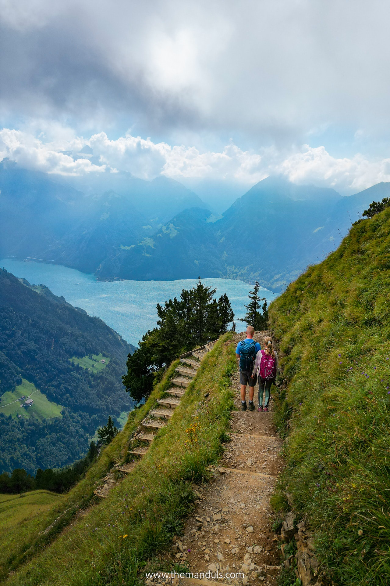
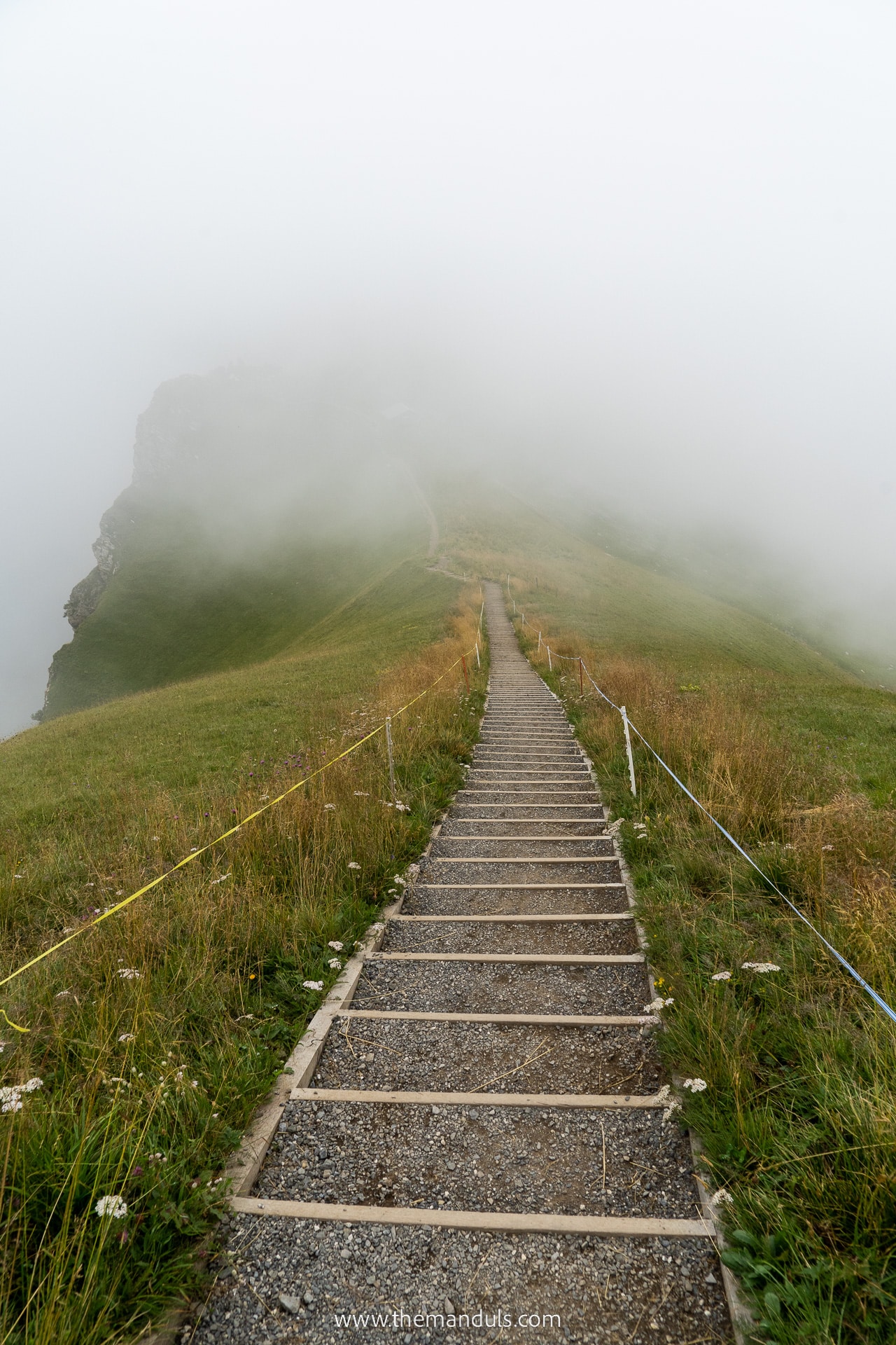
What makes this hiking trail more difficult is the dangerous drop-offs and steep slopes on the side. But thanks to a wide (1 meter in some sections ) and well-marked trail, we never had to walk close to the edge. Therefore, when being careful, a typical hiker has nothing to worry about.
Duration
When starting in Klingenstock and following the regular trail to Fronalpstock the walking time is around 2 hours in a moderate pace. This doesn’t include the chairlift ride or any breaks. We suggest allocating at least half a day to enjoy the spectacular hiking trail.
For a more relaxed day, you can make this a full-day trip and enjoy some time in Stoos village, too.
We opted to make this a full-day hike and skipped both chairlifts. We started early in the morning and finished the trail in the evening.
Starting Point
To make it easier for you, ride a chairlift to Klingenstock. Most people would also start the hike this way. We opted for a more difficult, but also cheaper option and we started in Stoos village. Instead of taking the cable car, we hiked up to the ridge starting point.
Optionally, you can start at Fronalpstock. But there are a few reasons why we think it’s not as good. We discuss the best direction of the hike later on.
Key Highlights
⭐️ Duration: 2 hours
⭐️ Distance: 4.4 km
⭐️ Starting points: Stoos village / Klingenstock lift
⭐️ Highest point: Klingenstock at 1935 m
⭐️ Where to stay: Stoos / Lucern / Zürich
⭐️ Discount travel passes: Swiss Travel Pass | Half Fare Card | Bernard Oberland Pass
⭐️ Tickets: stoos.ch
Practical hiking tips
How to get there
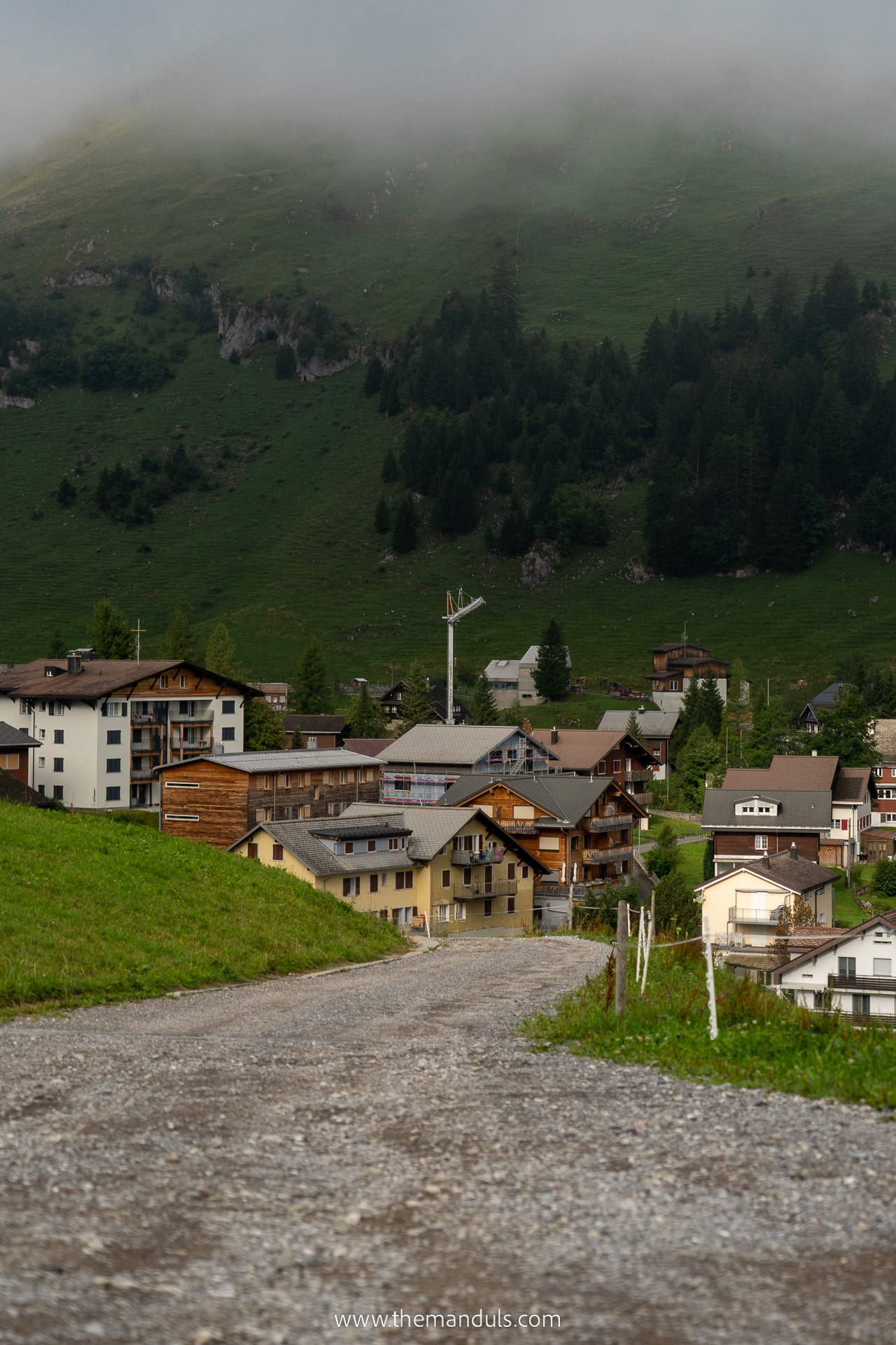
Stoos is a car-free village, which is only accessible by a funicular from Stoosbahn station or a cable car from Moschach. We chose the funicular since it’s the steepest one in the world! Who wouldn’t want to try it? So how do you get to the Stoosbahn station?
By car
We were traveling around Switzerland by our car, so we traveled to Stoosbahn by road. But you can also rent a car for your trip!
The road is well-maintained and passes Schwyz, where we entered the valley between the mountains. As mentioned above, from Lucern or Zürich you’ll get here in around one hour.
Regarding the parking, you have two options – outdoor parking or a parking garage. Full-day parking at the garage costs 13 CHF. To avoid not having a free space, you can buy the parking ticket on the official website in advance. We recommend checking it out for more details about other options, too.
By public transport
Stoos might be one of the few places where you won’t get by train. Only buses can take you to Stoos funicular. The direct connections run daily between Muotathal and Arth or Lauerz. The nearest train station is located in Schwyz.
Tickets
We purchased tickets for the Stoos Funicular directly at the station. However, you can also purchase them online. The return adult ticket costs 23.2 CHF.
If you plan to take the chairlift to Klingenstock and from Fronalpstock, you can purchase a combined Peak Experience ticket. It includes both chairlifts, funicular from Schwyz, and cable car from Morschach. This one costs 56 CHF for an adult.
Check the most recent prices on stoos.ch.
Discounts
If you only plan to take the funicular from Schwyz or the cable car from Morschach, both rides are included in the Swiss Travel Pass. You get a reduced price with a Half Fare Card.
When purchasing the Peak Experience ticket with Swiss Travel Pass, you have to pay 33 CHF, and with Half Fare Card it’s 44 CHF. Children with Junior Travelcard can travel for free.
Swiss Travel Pass gives you unlimited travel on most Swiss trains (including panoramic rides), boats, and buses. It can save you hundreds of Swiss Francs. So if you plan to use public on your trip, it’s a great investment!
Opening Hours
During summer months, the Schwyz funicular operates every day from 7 am to 7 pm, with departures at 10 and 40. Then it’s scheduled every hour at 40. The last funicular departs at 11:40 pm on weekdays (Friday and Saturday).
The Klingenstock chairlift usually runs from 9 am to 4 pm. The Fronalpstock chairlift is open from 9 am to 4 pm. But when Klingenstock is in operation, Fronalpstock is open till 5:30 pm.
Always make sure to check the most up-to-date information online.
What to bring
We did the whole hike starting from Stoos. On this whole loop, the only place to get food and drinks is Fronalpstock. So we made sure to bring enough food and water for the whole day.
Another thing we never underestimate is layered clothes. Even in the summer months, the weather might change suddenly. We love to make sure we’re prepared for anything.
A first aid kid as well as proper hiking shoes are a must! And I believe there’s no need to say we must pack a camera, too!
Weather conditions
The weather can be very unpredictable in the mountains. Even when the forecast says you can expect a hot and sunny day, never count on it. We packed enough warm clothes and layers even though we came here in July.
When we visited, the weather was cloudy and foggy for the first half of the trip. Due to the high elevation, it got pretty cold for the summer. The wind only made it worse.
But the most important thing when hiking Stoos Ridge hike is to avoid rainy days. The narrow alpine trail can get very slippery and dangerous when wet or muddy.
Check the forecast and live webcams before your trip, to know what to expect.
Facilities on the trail
The whole ridge has no facilities at all. So we recommend using the bathroom before you start in Stoos village or Klingenstock station. The upper one has a public toilet hidden below the chairlift. The next toilets can be found on Fronalpstock.
When it comes to food and drinks, you also won’t find any of that on the trail. The only place to get some refreshments is Fronalpstock Restaurant and Hotel. Because of this, make sure to pack enough food and water for the whole hike.
About the Klingenstock to Fronalpstock trail
Distance: 4.4 km
Elevation: ↑ 304 m, ↓ 317 m
Duration: 2 h
Difficulty: medium
Schwyz – Stoos funicular
Unless you decide to take a chairlift from Morschach, you will have to take a funicular from Schwyz. Despite the station being called Schwyz, Stoosbahn, it’s actually almost 6 km from Schwyz.
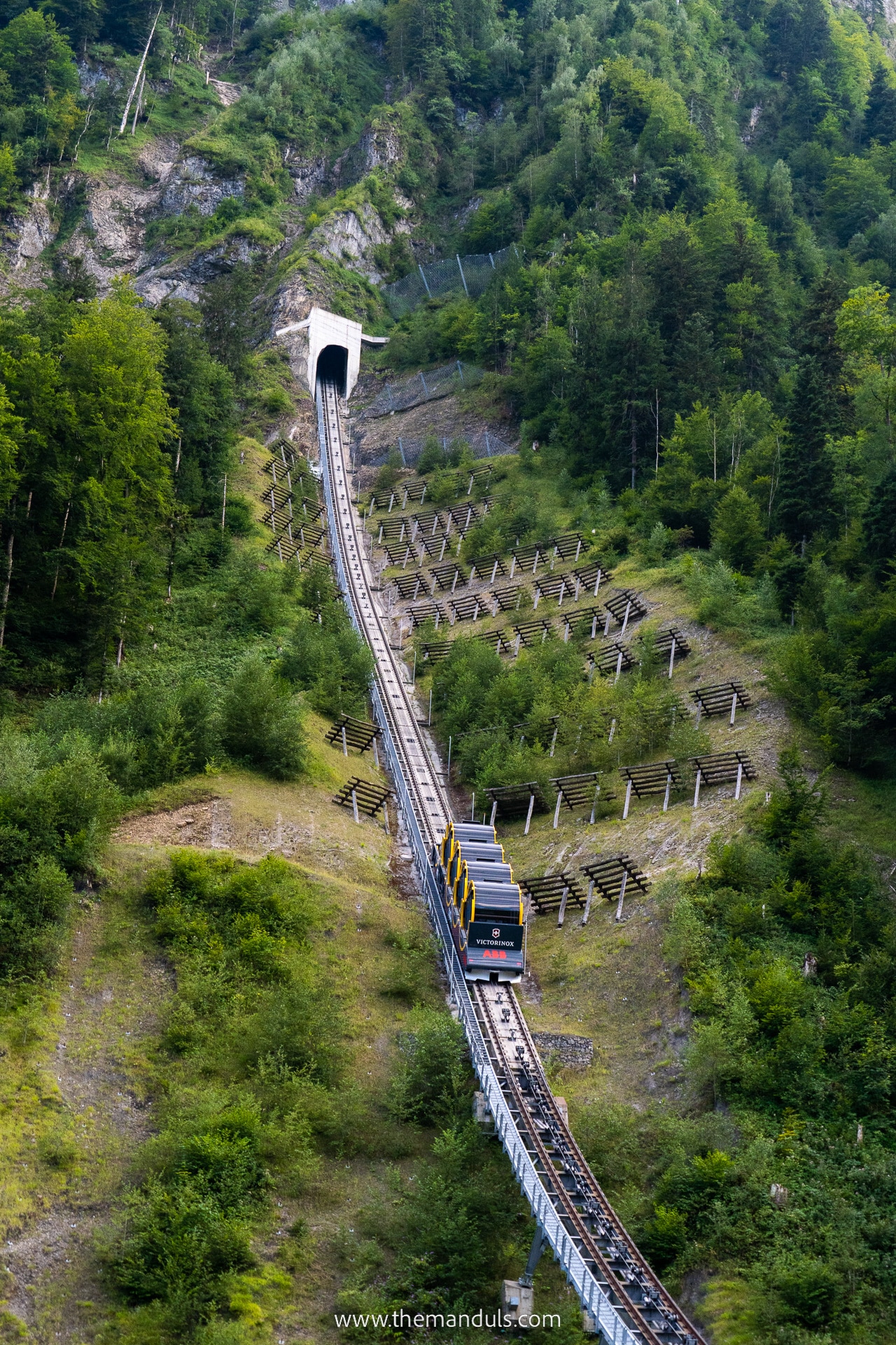
However, this is no ordinary funicular. It’s a technical marvel that holds a record of the steepest funicular in the world! It will take more than 1300m up to the Stoos village. The maximal gradient on the way is 110%, or 47°. This ride will certainly be a memorable one both for adults and kids.
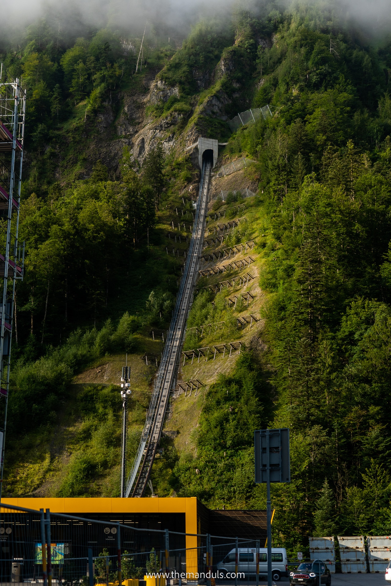
We took one of the first ones in the morning and there were barely any people and no queues. The funicular will drop you off on the edge of the village, approximately a 10-minute walk from the Klingenstock chairlift.
Starting point – Klingenstock
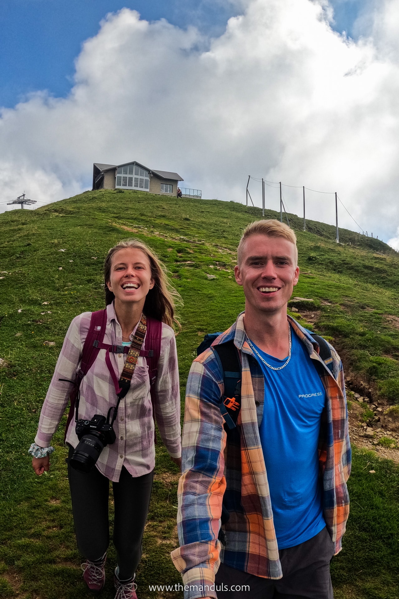
From the village, it’s only a few minute scenic ride up the hill to the peak of Klingenstock at 1935m. Make sure to use the last available toilet before heading out on the trail. At the peak, you can enjoy a picnic on one of the benches with tables or start the hike right away.
When we planned the Stoos Ridge Hike, the weather did not look so promising. We woke up to a foggy day with almost no views. We hoped it would clear as we would get higher. Well, that did not really happen. After hiking for 2 hours to get to the top, we were welcomed by even more fog.
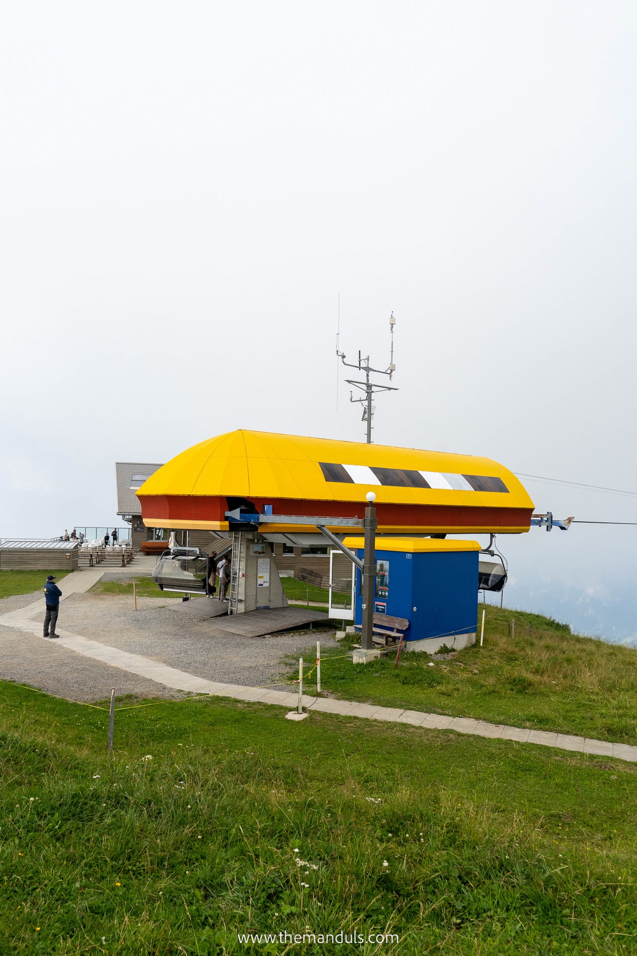
But since it would make no sense to do the Stoos Ridge Hike in fog, we decided to wait. We spent more than an hour sitting next to the chairlift at Klingenstock. We were extremely happy to have packed so many layers, since with no sun and lots of wind it was cold.
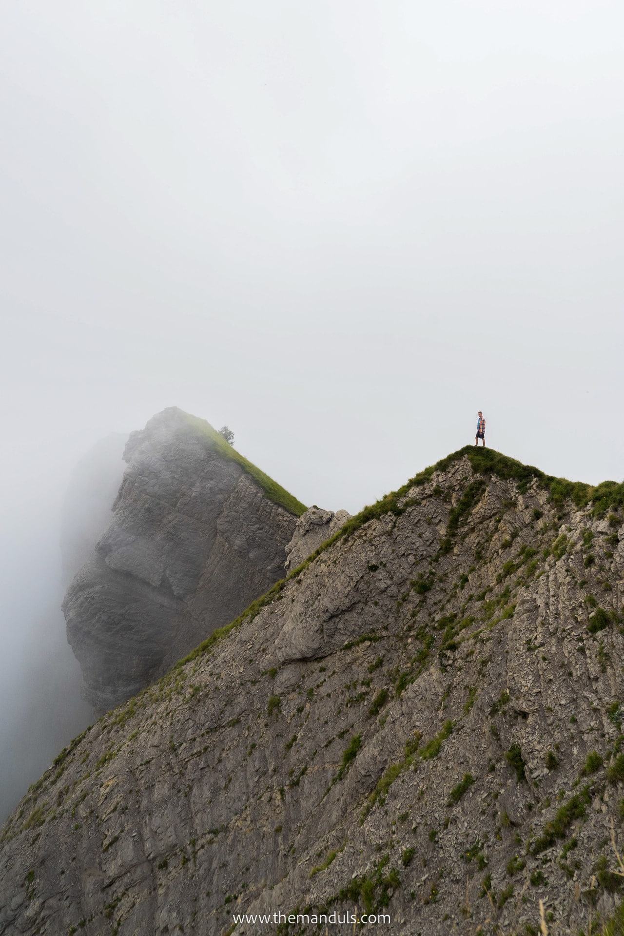
After some picnic a a short nap (yep, we even fell asleep there :D), the clouds looked like they might get better soon. So we thought we’d just take the risk and start the hike.
The ridge hike
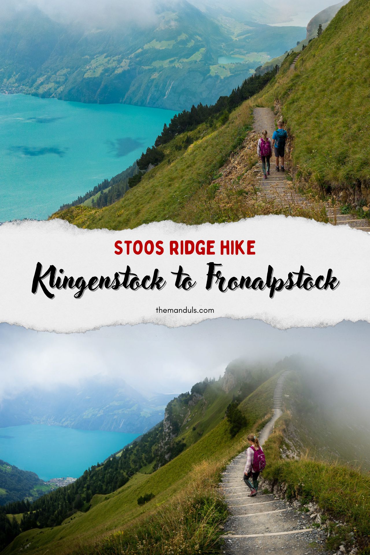
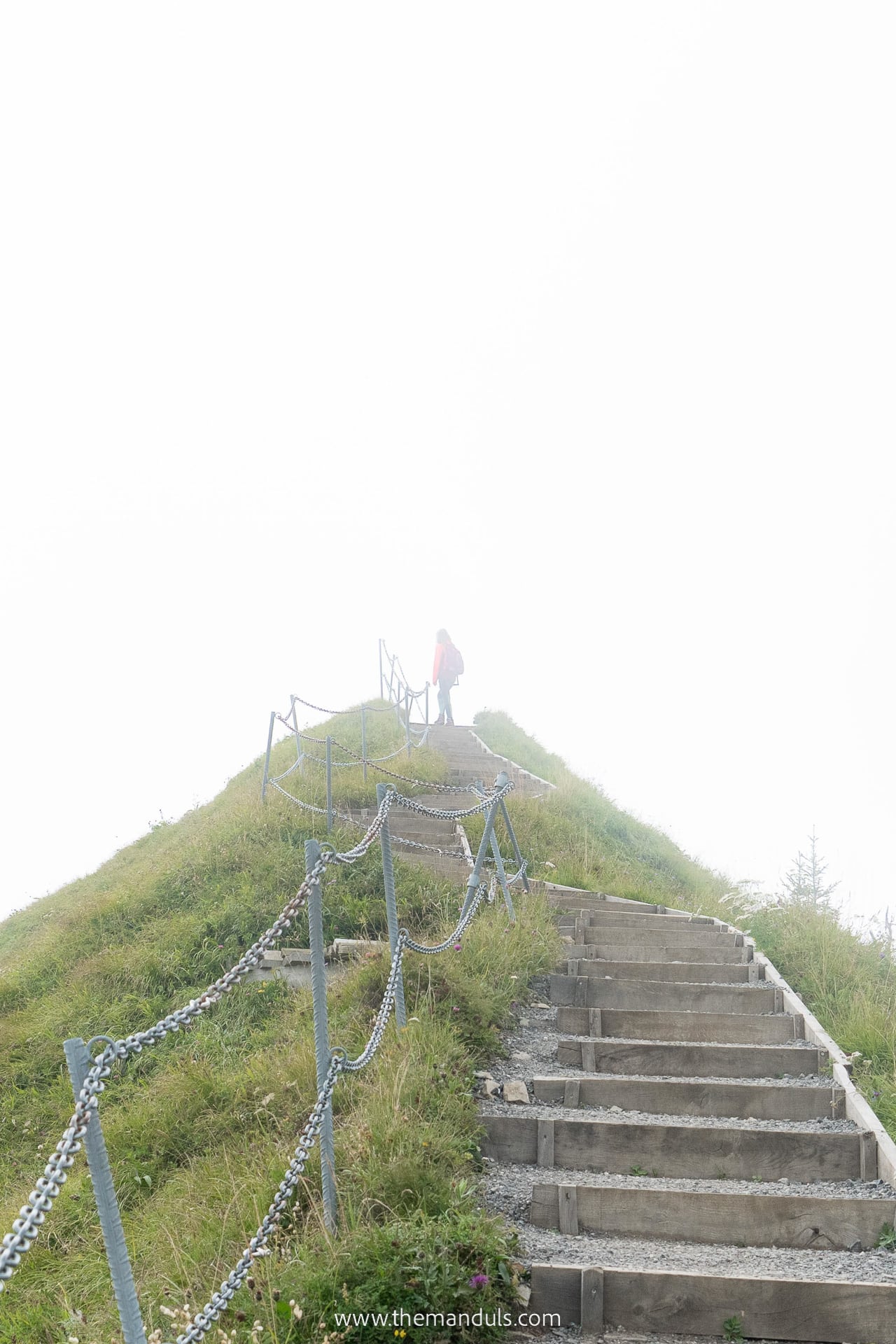
Soon enough the clouds cleared and we got occasional views. I would say the fog made the whole experience way more scenic and dramatic, as we could watch clouds spill from one edge of the mountain to the other. We couldn’t wish for better circumstances.
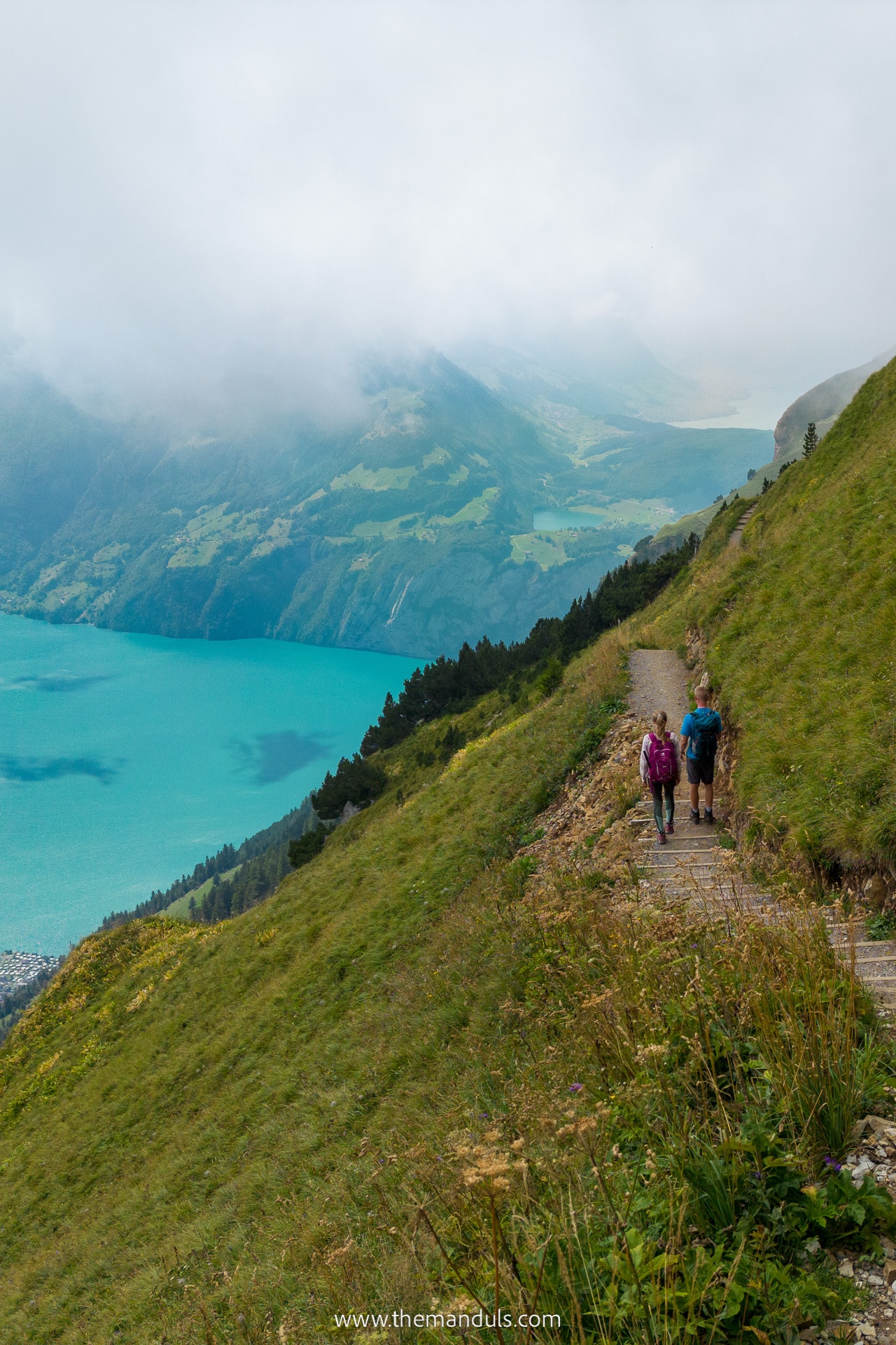
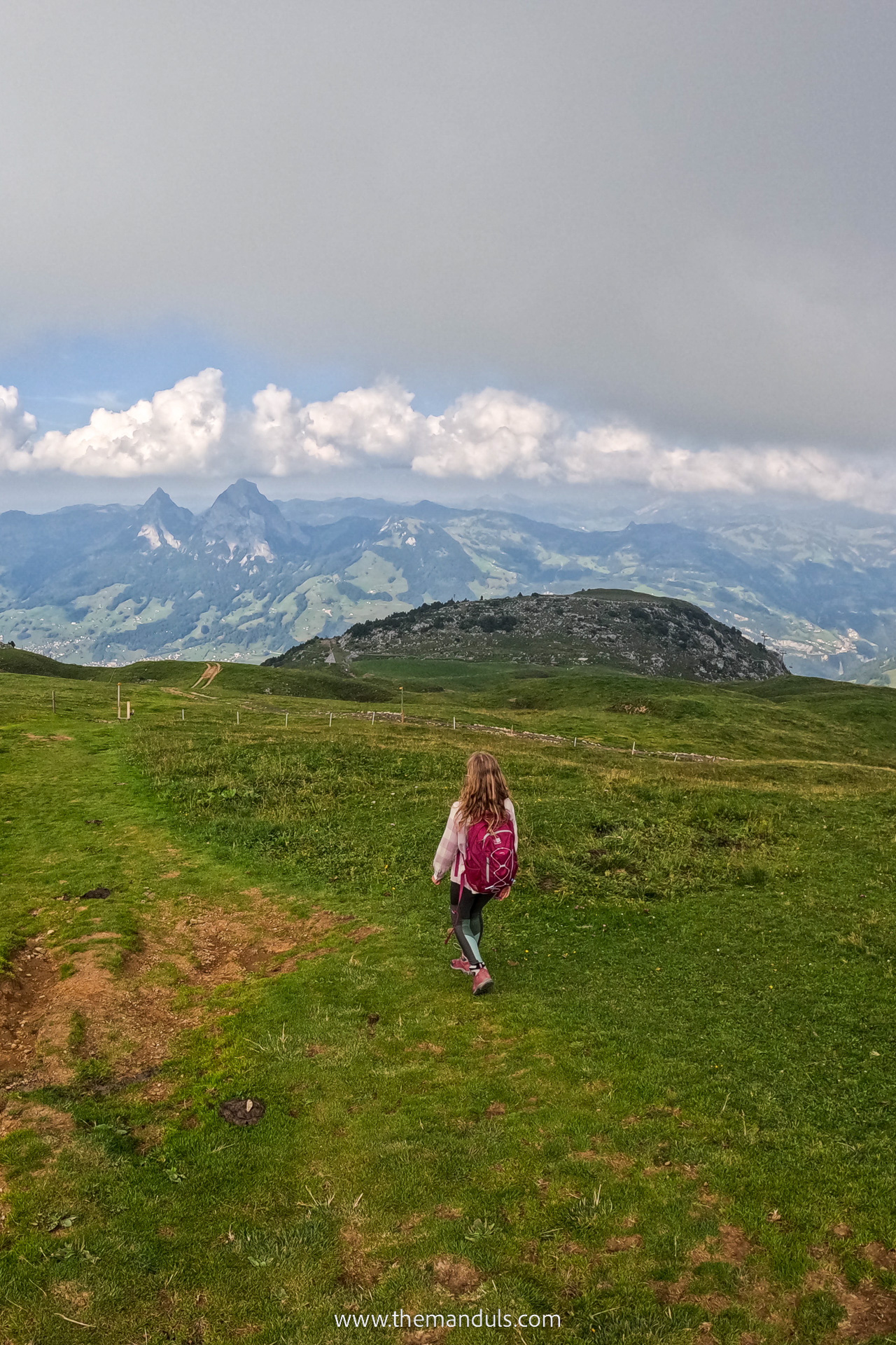
The first parts of the hike did not have many steep uphill section, and it felt very pleasant. From time to time we could see a small part of Lake Lucern peaking from behind the mountains in front of us. We were surround by incredible slopes on both sides most of the time.
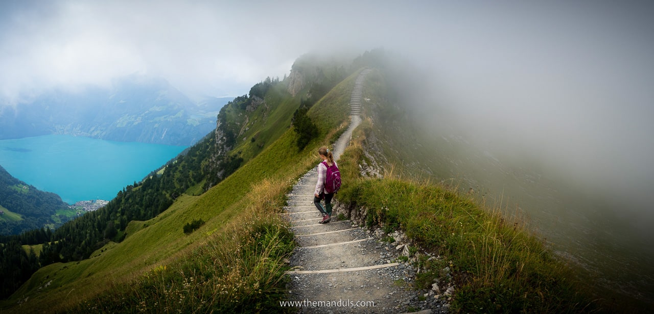
The most critical section had railings on both sides, which provided some peace of mind. The whole trail had a lot of stairs that kept taking us up and down. Just look at the photos and you’ll see why this hike is a MUST!
If you’re looking for a ridge hike with ends by the lake, we recommend visiting Seealpsee via Schäfler Ridge!
Arriving at Fronalpstock
The last section was the hardest, since on little more than 600 m we had an elevation gain of almost 150 m. In other words, it’s a short but steep hill. The good news is that it takes only 15 minutes.
Once we got to the top of the hill, the elevation was gradual and the rest of the hike to Fronalpstock was easy and pleasant. Just before reaching the restaurant, we got to the side of the mountain where we could finally see the whole Lucernsee from above.
Let me tell you, I’ll never get tired of views like this one. It’s just so breathtaking, words can’t describe it. So after a long day, we treated ourselves to a coffee with the lake views and gathered some more energy to make the descent down to Stoosbahn.
If you prefer not to hike, this is where you can take a chairlift. It’s actually two chairlifts split into two sections. So approximately in the middle, you will have to change.
Trail Map
Which direction to hike
When we looked at the elevation, we could see that no matter which way we would go it’s still the same. The amount of uphill sections is no different.
But what really makes the difference is the views. While the whole trail is incredibly stunning, we certainly enjoyed hiking towards Fronalpstock. This direction offered more scenic views that were always right in front of us. We could also see the Lake Lucern all the time.
If we would hike the other way, we would be forced to keep turning around. Despite that, some people still choose to hike in the opposite direction. So it’s a matter of choice.
After all, it’s also more convenient to start at Klingenstock for two reasons. Firstly, the Fronalpstock chairlift often operates longer, which gives you more time to enjoy the trail with no hurries.
Secondly, we were really happy to get a cup of coffee and a cake as a reward at Fronalpstock restaurant after the hike. They serve different meals, cold beer and much more, too!
Alternative – skip the chairlifts
Total distance: 12 km
Elevation: ↑ 856 m, ↓ 908 m
Total duration: 5 h
Difficulty: medium
In case the Klingenstock chairlift is not operating, you wish to save some money on the tickets or you’re simply looking for a full-day hike, this is the perfect alternative. You can still take one of the chairlifts and only walk one way, either up or down. One way chairlift ticket costs 22 CHF.
Skipping the Klingenstock chairlift
We are not big fans of cable cars and chairlifts when they’re not necessary. So we decided to start our hike in Stoos. From the Stoosbahn (funicular) station, it was easy to follow the trail all the way up to Klingenstock. Everything is well-marked and signposted. Just in case, we always have offline maps ready.
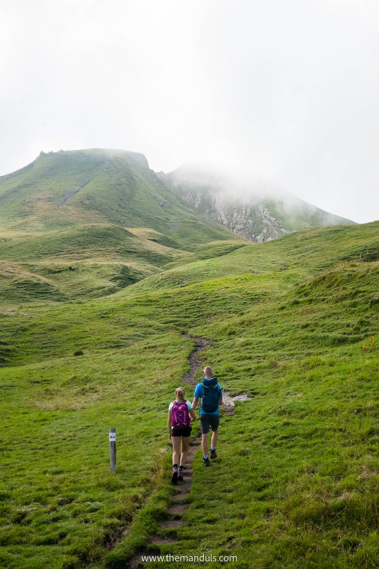
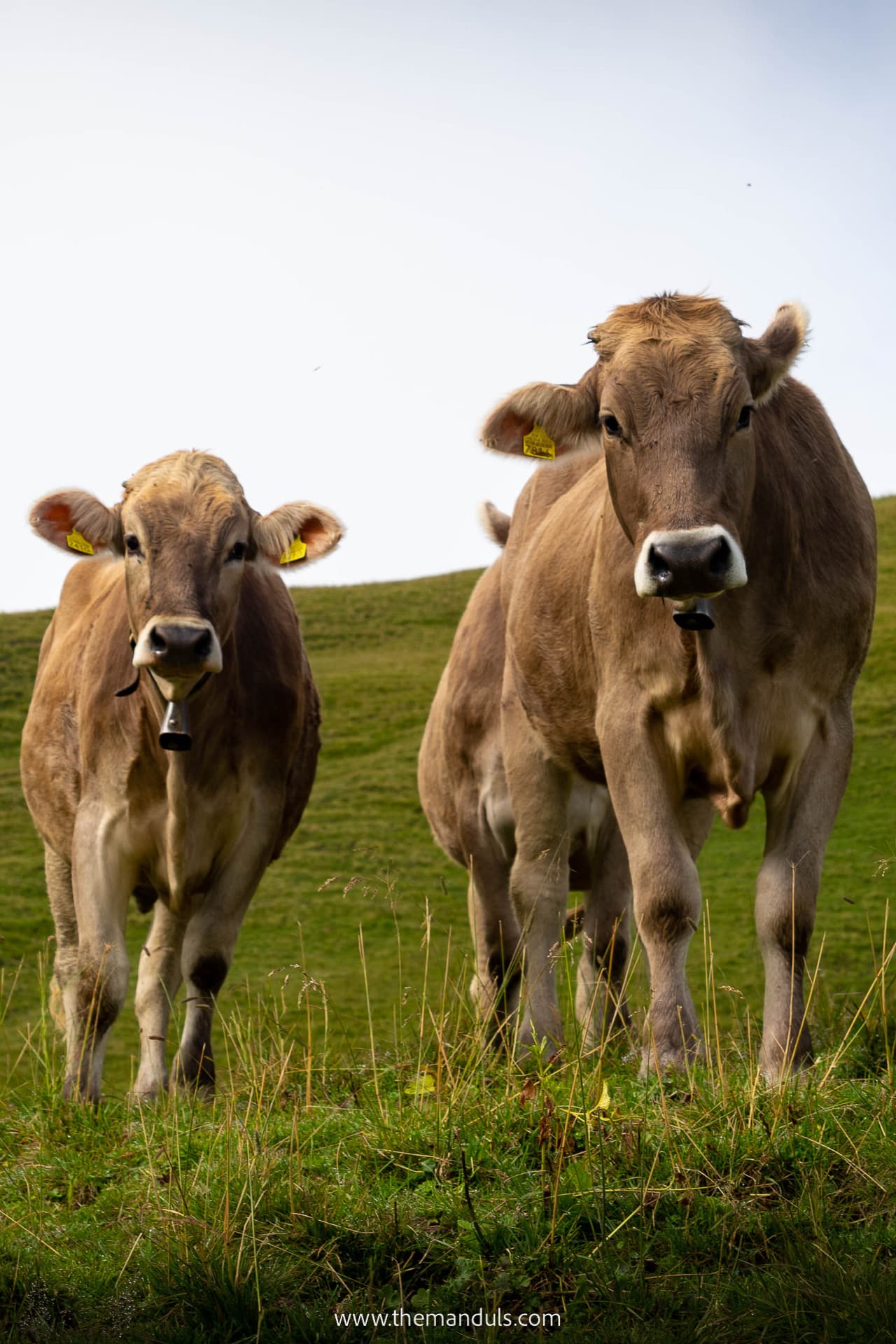
The whole climb took us around 2 hours and we walked over 3.9 km with a 632 m elevation gain. We crossed lovely alpine meadows and herds of cows and sheep. We also passed a self-serviced snack shop with local products such as cheese, milk, and some souvenirs.
It’s an uphill walk that requires some work, but we think it is not as demanding.
Skipping the Fronalpstock chairlift
After enjoying a well-deserved coffee at the restaurant, we headed down to Stoosbahn. It took us around 1.5 hours. This trail is only 4.3 km long with an elevation difference of 609 m. Around midway, we were happy to find public toilets at the chairlift.
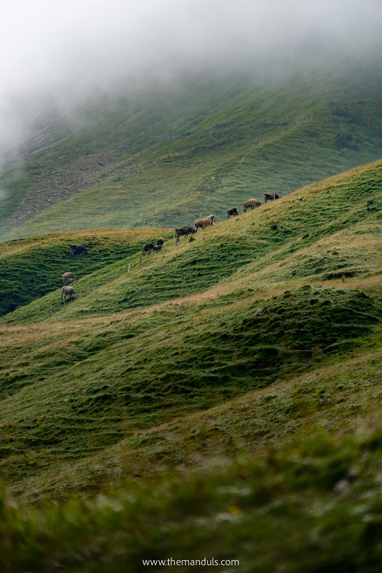
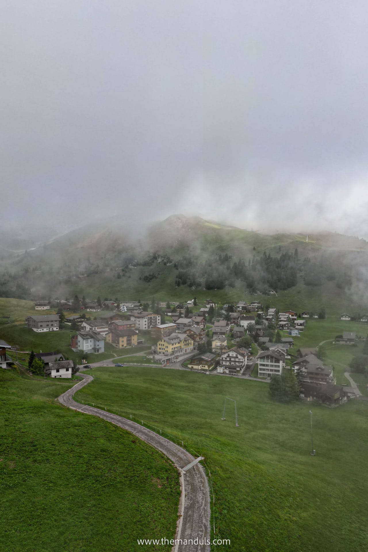
Overall, the way down was pleasant and offered even more views of the surrounding mountains. As we got closer to the village we passed a few picturesque Swiss huts and houses. We also saw a few farms.
Trail Map
Short & Easy Fronalpstock Panorama Walk
If you’re looking for a shorter alternative that still offers the same mesmerizing views, take a look at the easy Panorama Trail. Apart from shorter distance and duration, it’s also safer, especially for families with kids.
As opposed to the Stoos Ridge Hike, you won’t find any exposed sections with dangerous hillsides. The Panorama Walk is only 1.5 km long and takes less than 30 minutes to complete. You’ll be happy to hear that it’s also stroller-friendly.
Best time to visit
Multiple factors have to be considered when deciding the best time to do the Stoos Ridge Hike.
When it comes to the best time during the day, I would suggest starting early in the morning. It won’t yet be too crowded, and you can avoid the midday sun, too. If you wish to be at the ridge for the sunset, you would have to hike down in the dark.
Another piece of advice is to avoid weekends. This is an extremely popular hike that gets way too crowded. So to avoid the busy hiking trails, opt for weekdays if possible.
Lastly, the trail is only open between late May and early October. It varies a lot depending on the season and weather conditions. Check the stoos.ch to see which trails are currently open. You might already be able to do this in May if the weather allows it.
Frequently asked questions
What makes this hike difficult is that you’ll often find yourself on the exposed ridge without any railings.
In general, this trail is very safe despite steep slopes and dangerous drop-offs which will often surround you. The reason is that the hiking trail itself is often wide enough so there are no exposed sections. Also, you won’t find any ropes or ladders along the path.
The biggest danger is the weather. Avoid hiking here when it’s raining and everything is slippery. Strong winds and snow also present a high risk.
Keep in mind that if you go off trail and slip or fall, you’re very likely to slide down the slope. This would mean serious injuries and, in the worst cases even death.
We also don’t recommend this hike to those with panic fear of heights and unsteady footing.
Dogs are allowed both at the chairlifts and the hiking trail, but they must be on leash at all times. You will need to purchase a ticket for your dog.
Well, there’s no easy answer to this one. Kids with hiking experience in different conditions will be safe here. However, you should always keep an eye on them. Some sections are surrounded by steep slopes on both sides. One wrong step and you’ll get yourself seriously injured.
So if you’ve never taken your kids on a hike before, or have trouble with keeping them close to you, I suggest you do the easy Panorama Loop Trail at Fronalpstock instead. This is where you get the same views, but you’re nowhere near a cliff edge.
If you’ve already read the safety question above, you might be wondering if you can do it as a beginner hiker. I belive this would not be a problem, as long as you’re not too scared of heights. Otherwise, this hike is not physically or technically demanding at all.
As mentioned before, Stoos is a car-free village. If you’re arriving from Schwyz via funicular, there are two or three large parking spots at the lower station. You can choose from a parking garage or open-air parking. Visit stoos.ch for more information about the parking options, current prices as well as option to book your parking spot online.
While this hike is not very difficult, having good hiking shoes with proper grip is a must. You don’t need high shoes, low or mid-cut is fine, too. The most important factor is the grip. We definitely don’t recommend doing this hike in a pair of sneakers.
Best activities near Stoos
Other attractions to visit nearby
- See 13 lakes from the top of Mount Rigi, the “Queen of the Mountains”.
- Rigi Panorama Trail is an easy 3-hour walk on a wide path. The whole trail is 8.2 km, but you can make it shorter by boarding the train earlier. If you don’t have a Swiss Travel Pass, you can purchase a Rigi Pass.
- Explore Lucern’s old town.
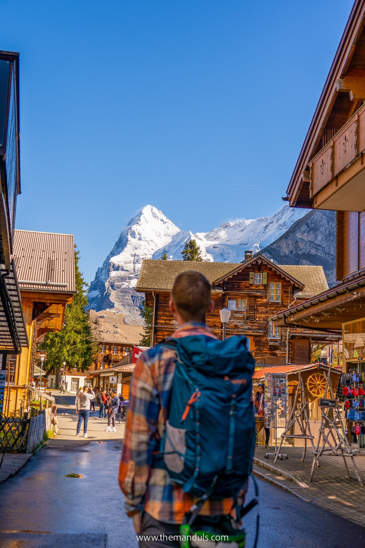
- Visit some of the most beautiful Swiss villages – Mürren, Lauterbrunnen, and Grindelwald.
Final thoughts on Stoos Ridge Hike
Thanks to its central location Stoos Ridge Hike is a convenient day trip from any part of Switzerland and can easily be added to your Switzerland itinerary. We loved that despite being such a wonderful place, it was not that crowded!
Compared to Oeschinensee, it can still be considered a hidden gem. Mass tourism hasn’t quite reached this place yet. So if you’re looking for an incredible ridge hike that offers mindblowing views for little effort, look no further!
We had a great time hiking around Stoos and must recommend this place to any hiking lovers and adventure enthusiasts! To this day it’s on the list of our top hike in Switzerland.

