
This article contains affiliate links. Learn more in our affiliate disclosure.
Planning the Bisse du Ro hike in Crans-Montana, Switzerland, is more confusing than it first appears. The suspension bridge is the natural turnaround point for a shorter out-and-back hike, but you can also continue toward Tseuzier Dam or combine the trail with several longer routes through the valley.
We hiked from Plans-Mayens to the suspension bridge and returned the same way. We chose this option because we didn’t feel like doing a long hike followed by around 1.5 hours of buses back to the resort.
It was definitely one of the more unique hikes in Crans-Montana.
In this guide, we compare the main route options and explain the difficulty, exposed sections, parking, timing, and transport so you can choose the version that makes the most sense for your day.
Key Highlights
📍Start of trail: Plans-Mayens (Google Maps)
📍Route: Plans-Mayens to Lac de Tseuzier
🥾Distance: 9.1 km
🕥 Duration: 3h walking time
⛰️ Elevation gain: 340m up, 130m down
🔥 Difficulty: easy to moderate
⭐️ Trail type: one-way (loop explained below)
What Is a Bisse
A bisse is a traditional irrigation channel used in the Valais region to carry water from mountain streams to meadows, fields, and vineyards.
Hiking paths beside bisses often follow gentle gradients and stay close to flowing water. However, the complete route may still include steeper connecting sections, as Bisse du Tsittoret does near the start in Vermala.
Why We Think This Hike Is Worth It
We think the Bisse du Ro hike is worth doing because it feels completely different from the more typical mountain trails around Crans-Montana. But if you’re after an easier and less-exposed trail, check out the Marmot Trail between Cry d’Er and Les Violettes.
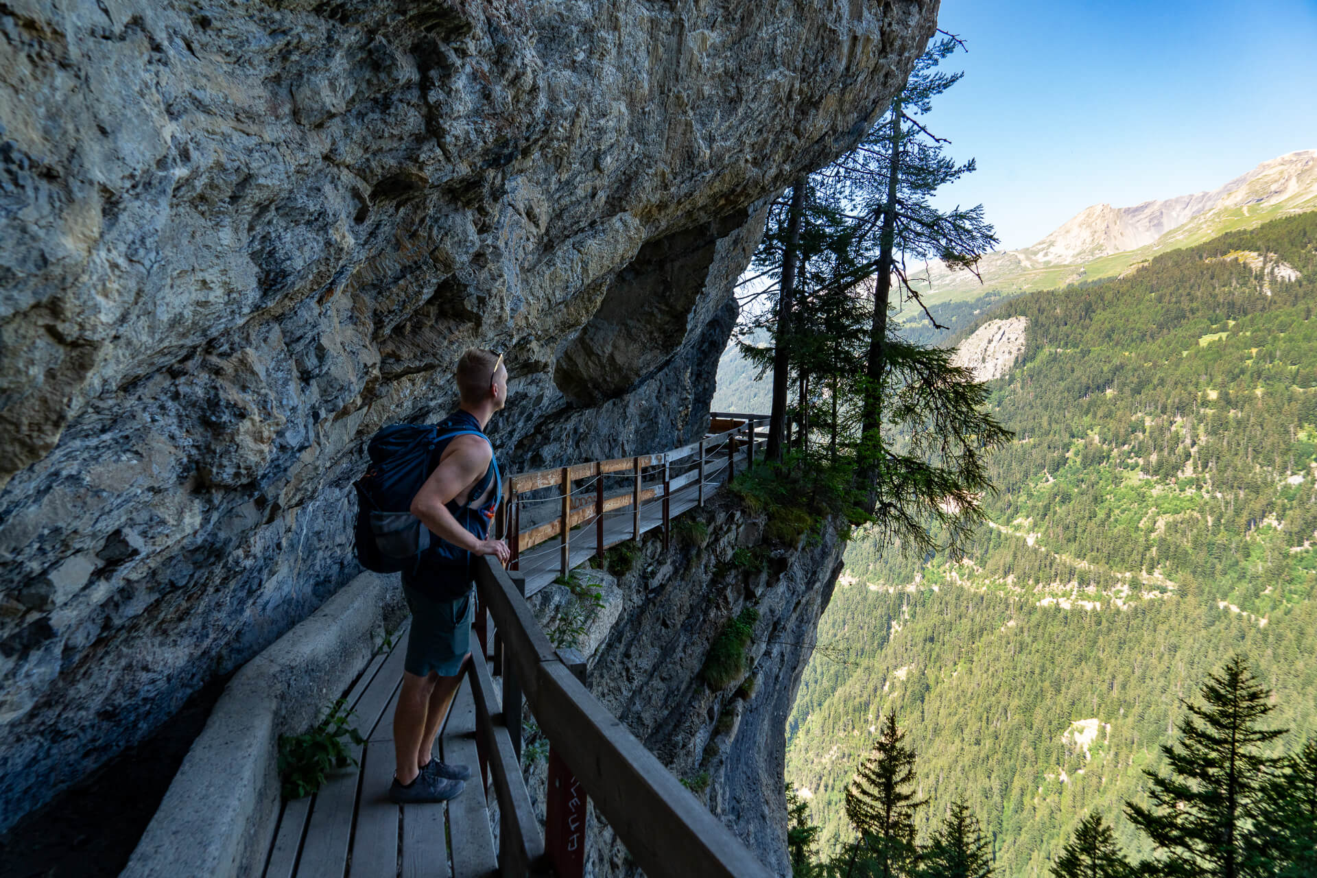
Instead of climbing toward a summit, the path follows an old irrigation channel along steep rock faces, with wide views over the Rhône Valley almost the entire way.
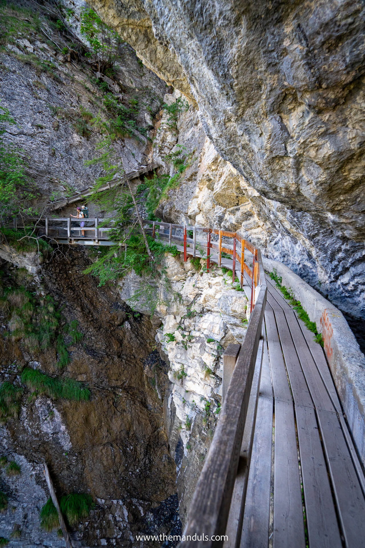
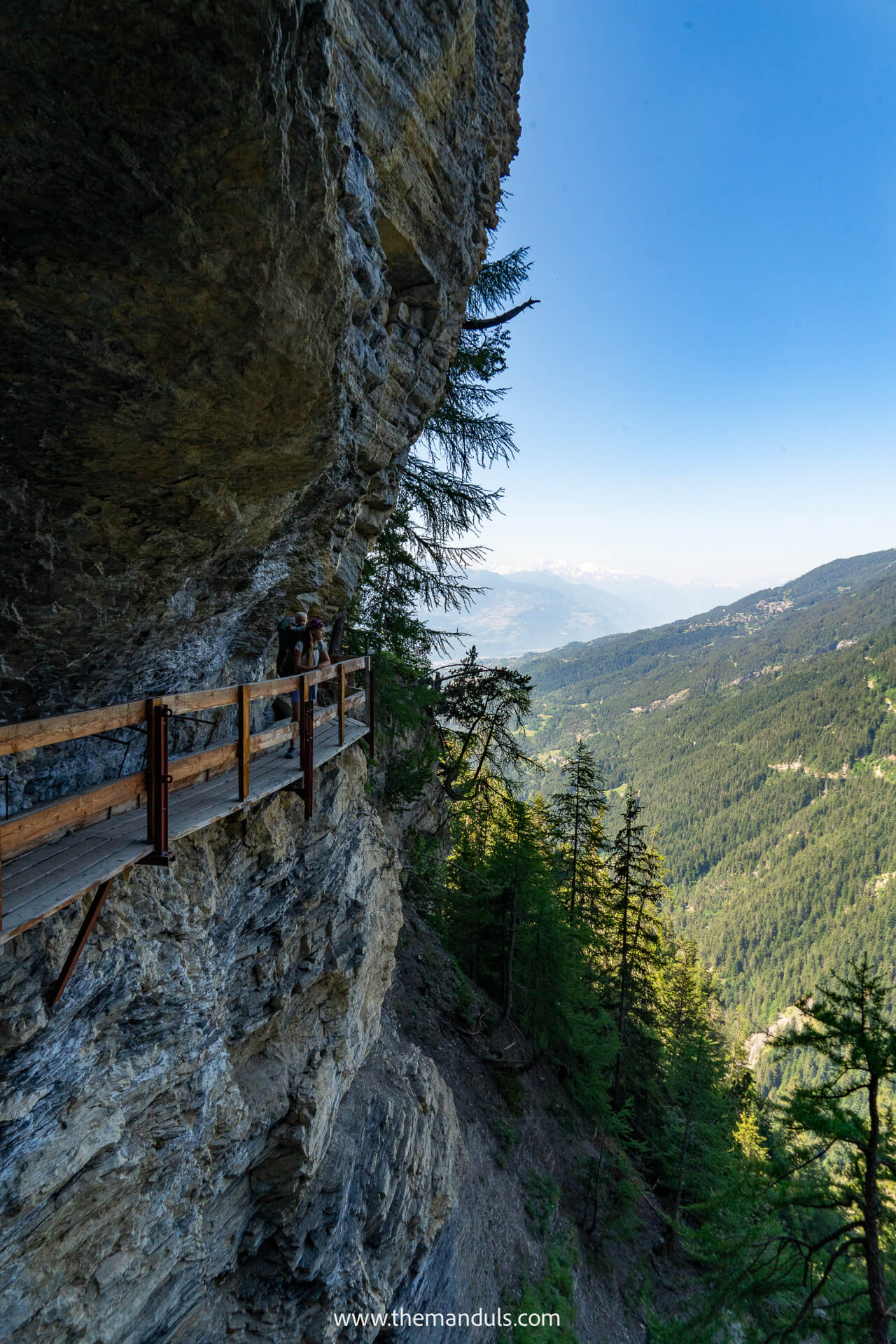
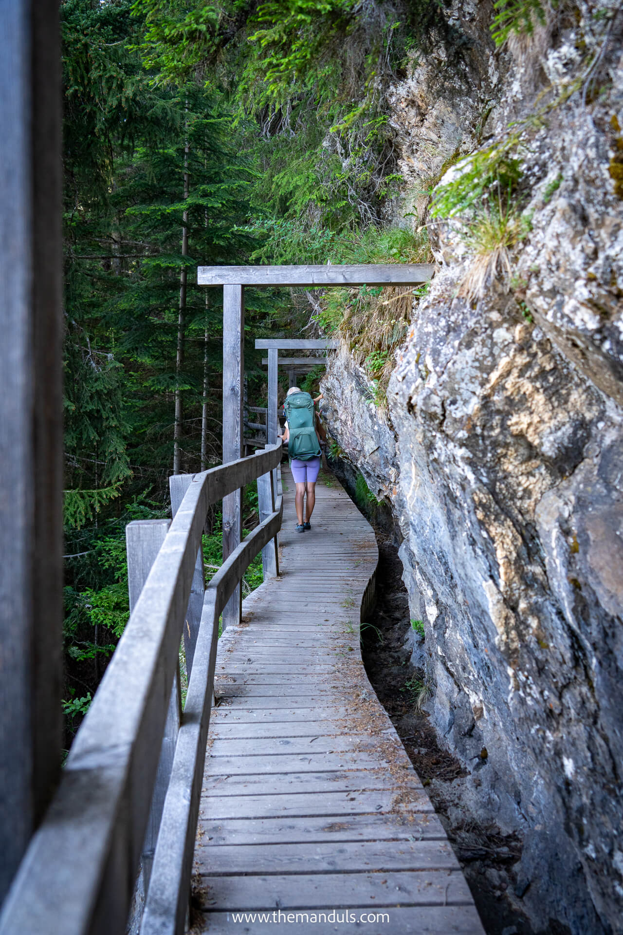
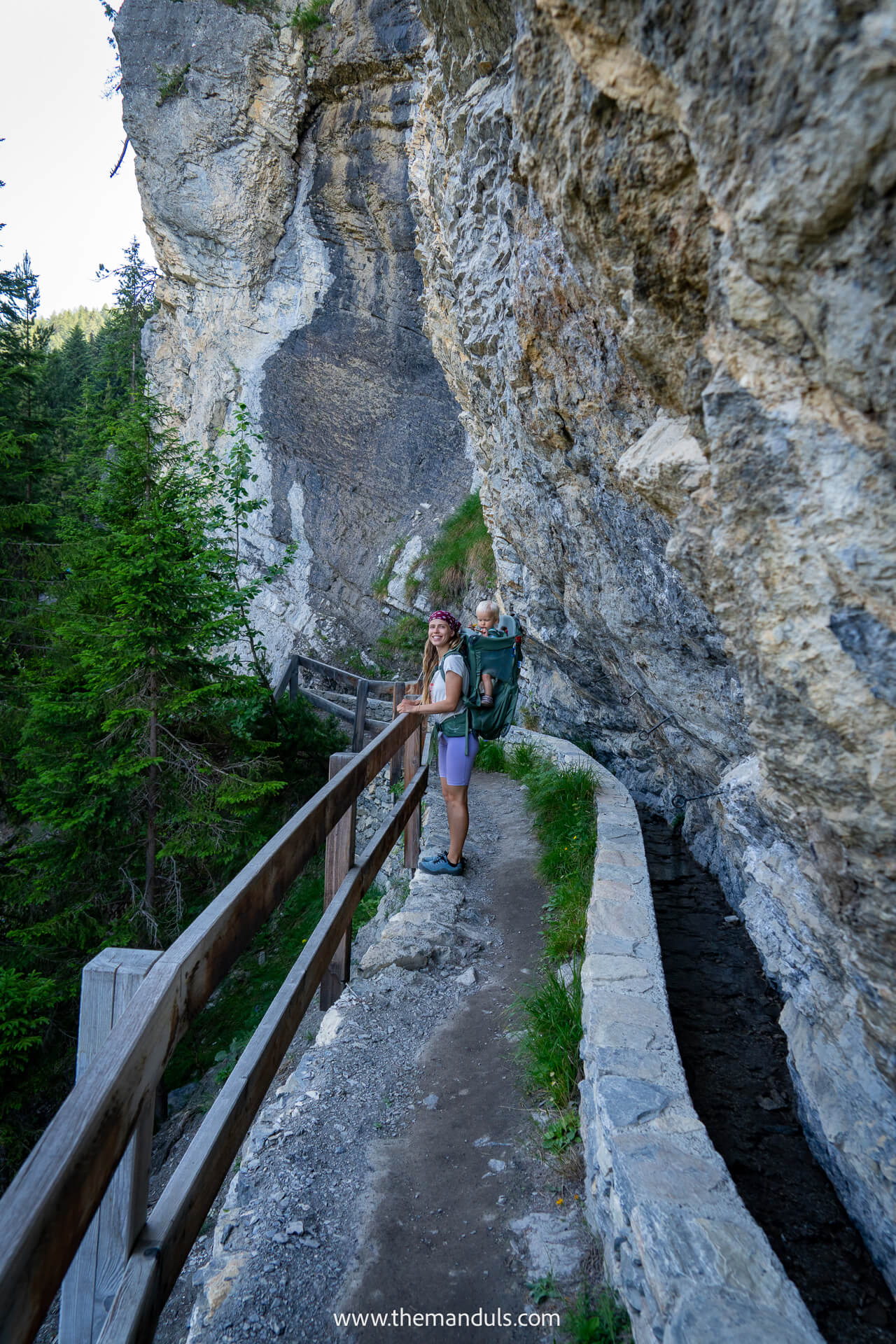
The exposed sections are what make this hike memorable. In several places, the trail is narrow and cut directly into the cliff, so even the shorter walk to the suspension bridge feels like an unforgettable trail.
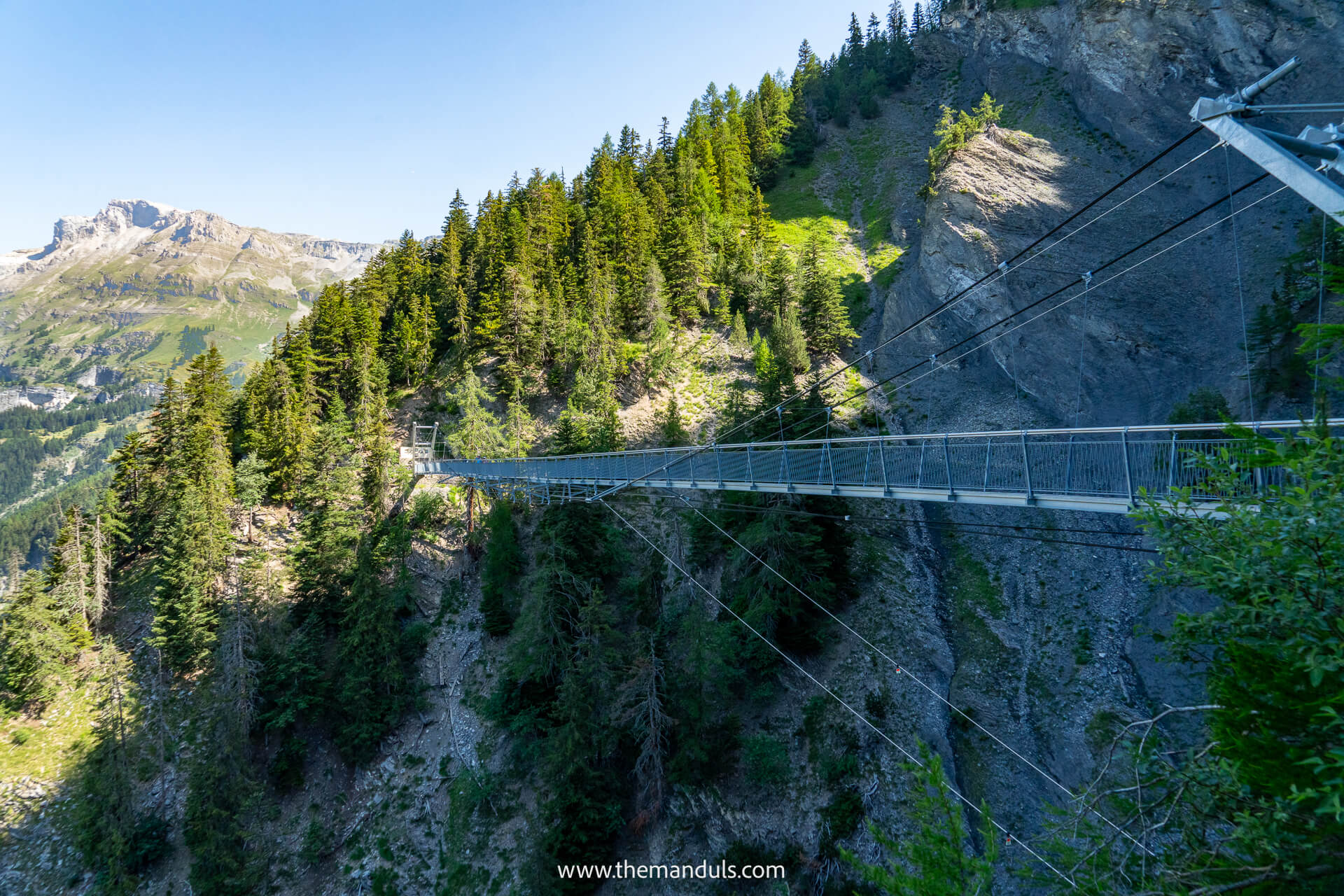
We only hiked as far as the suspension bridge, but this section already included the most dramatic scenery and gave us a good feel for the trail.
It is also a flexible hike: you can turn around at the bridge for a shorter outing or continue toward Tseuzier Dam if you want a longer point-to-point route.
We would recommend it most to hikers who enjoy unusual trails and do not mind exposure. If you are uncomfortable with heights, narrow paths, or steep drops beside the trail, this probably will not be the most relaxing hike for you.
In a hurry?
These are our top hotels in Crans Montana we’d book again
⭐️⭐️⭐️ Hotel de l’Etrier – Dream stay. Incredible room views, beautiful sunsets, a pool and sauna, plus genuinely excellent food.
👉 See prices & availability →
⭐️⭐️ Hotel Le Mont Paisible – Choose it for panoramic valley views, a quieter setting, and easy access to the Violettes cable car.
👉 See prices & availability →
⭐️ Hôtel Historique Chez Elsy – Choose it for a smaller family-run stay with vintage character, mountain views, and more affordable rates.
👉 See prices & availability →
Bisse du Ro Hiking Map
When to Hike Bisse du Ro
The best time to hike Bisse du Ro is from June to early October, once the trail is free of snow. The route reaches around 1,780 metres near Tseuzier Dam, so conditions can vary from year to year.
Check the current trail status before setting out, especially at the beginning or end of the hiking season. The official 2026 hiking map lists Bisse du Ro as a summer route.
We’d choose a dry, calm day for this hike. Several sections are narrow and exposed, and wet rocks or strong wind can make the trail and suspension bridge feel much less comfortable. This is not a route we’d recommend during rain or thunderstorms.
Starting in the morning is best, particularly if you plan to hike the complete point-to-point route to or from Tseuzier Dam.
It gives you more time, avoids the warmest part of the day, and leaves some flexibility for the return journey. Check the latest bus timetable before hiking the full route, as connections from Tseuzier are limited and may change seasonally.
Which Direction to Hike
We recommend hiking from Lac de Tseuzier toward Plans-Mayens, especially if you arrive by car. Leave your car near the end of the trail, take the bus from Crans-Montana to Lac de Tseuzier, and then hike back toward the parking area.
The journey to the dam takes around 1.5 hours and requires some planning, but it removes the biggest source of stress later in the day. There are only a few connections from Lac de Tseuzier each day, so hiking in the opposite direction could leave you rushing to catch the final bus—or waiting a long time if you miss one.
By taking the bus first, you can start the hike knowing that your car will be waiting at the finish. You can walk at your own pace, stop along the exposed sections and suspension bridge, and avoid planning the whole day around a limited return schedule.
Getting to The Trailhead
The Bisse du Ro trail can be accessed from Plans-Mayens near Crans-Montana or from Lac de Tseuzier, depending on which route you plan to hike.
Arrival By Car & Parking
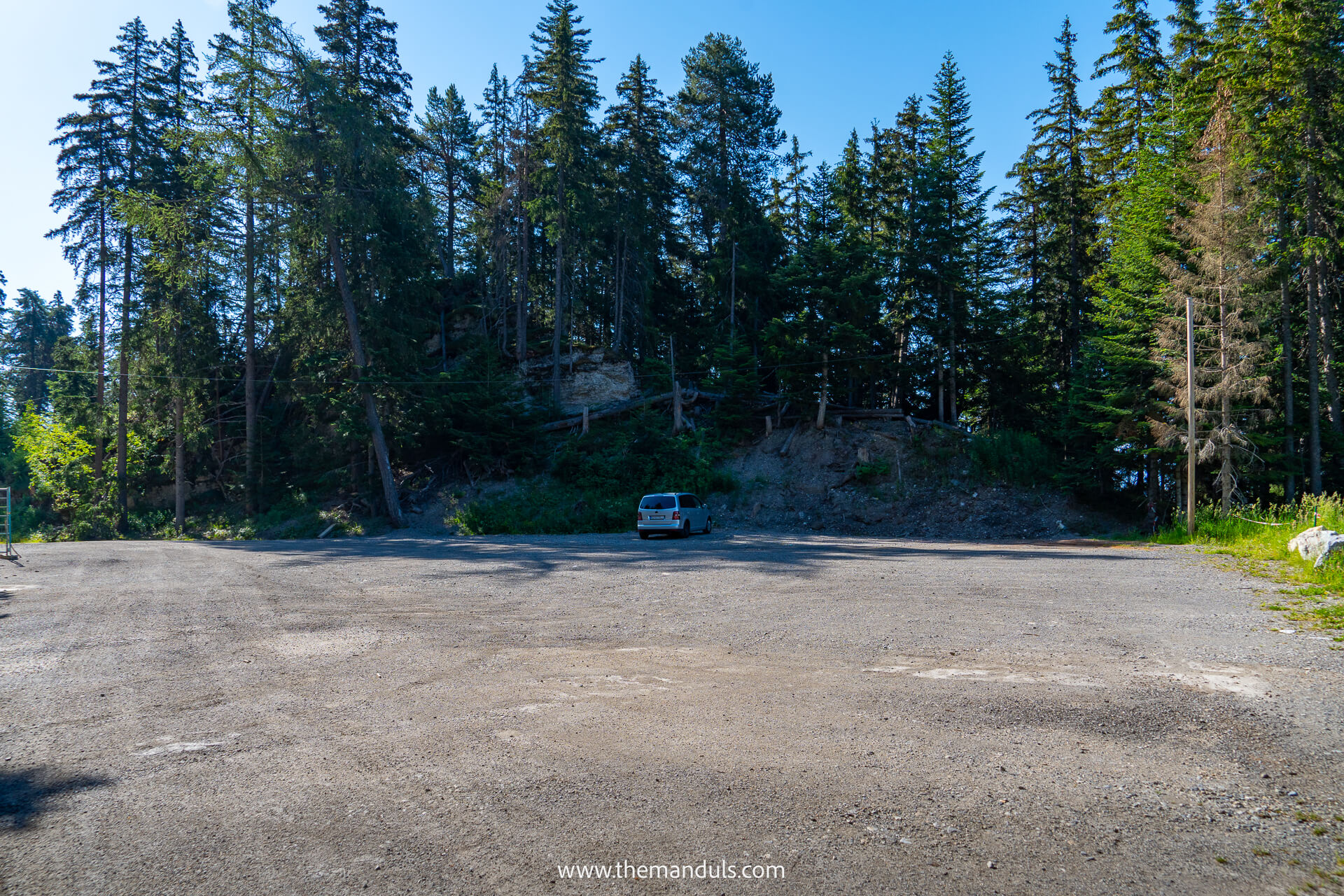
The easiest access point from Crans-Montana is the parking area near Cabane des Lys in Plans-Mayens. The trail starts just beside the road, so there is no long approach before reaching the bisse.
Search for Cabane des Lys or Parking Bisse du Ro in your navigation. Spaces are limited, especially on sunny summer weekends, so arriving early is a good idea. The parking is free and there’s a toilet available.
This is also the most convenient parking area if you are hiking only to the suspension bridge and returning along the same trail.
From the parking area it’s a 30-minute downhill walk to the bus stop at Le Mèrignou.
Lac de Tseuzier bus
The journey from Crans-Montana, Le Mèrignou to Lac de Tseuzier requires a transfer at Botyre, where you cross the road to board the second bus. Depending on the connection, the journey takes around one to 1.5 hours.
The second section is operated either by PostBus or the Anzère Liberté shuttle. From June 27 to August 23, 2026, the PostBus-only fare is CHF 26.20, or CHF 13.10 with a Half Fare Card. A mixed connection costs CHF 8.60 to Botyre plus CHF 15 for the Anzère shuttle.
The Swiss Travel Pass and GA cover the PostBus sections but not the Anzère shuttle. The Half Fare Card also does not reduce the shuttle fare, while the Anzère Liberté Pass covers the shuttle section. Check the operator and timetable for your exact departure.
The CHF 15 shuttle ticket must be purchased from the driver by card or TWINT; cash is not accepted.
Bisse du Ro Trail Description (Plans Mayens to Lac du Tseuzier)

Distance: 9.1 km

Elevation gain: 340m up, 130m down

Duration: 3 hours of walking (5 hours with breaks and photos)
The route below is described from Plans-Mayens toward Lac de Tseuzier because this is the direction we personally hiked as far as the suspension bridge. If you are completing the full point-to-point trail, we recommend hiking in the opposite direction to avoid relying on the limited bus connection at the end of the day.
Plans-Mayens to the Suspension Bridge
The trail starts near the parking area in Plans-Mayens, where a yellow hiking sign points toward Bisse du Ro and Lac de Tseuzier. From here, the path enters the forest and begins following the historic bisse almost immediately.
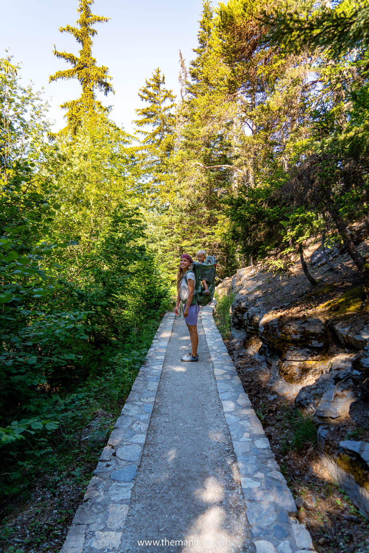
The opening section feels relatively easy. The irrigation channel runs beside the trail, while the other side is mostly protected by forest, with occasional drops between the trees. The path is fairly wide here, making it a gentle start before the terrain becomes more exposed.
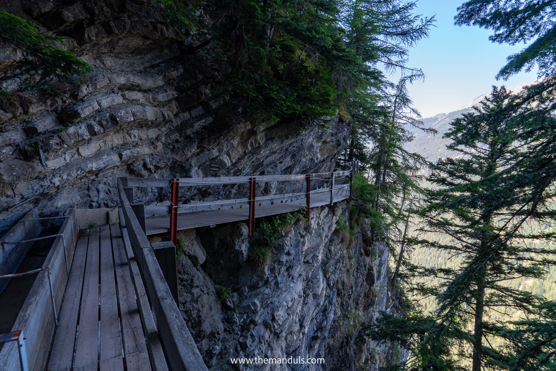
As you continue, the forest gradually opens and the trail becomes more dramatic. You’ll cross wooden walkways and small bridges built along the rock face, with fences and railings protecting the narrower sections.
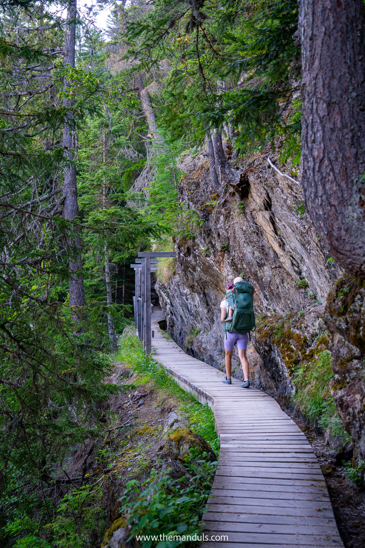
Some stretches have steep drops beside the path, but the trail itself remains well maintained. We never felt unsafe here.
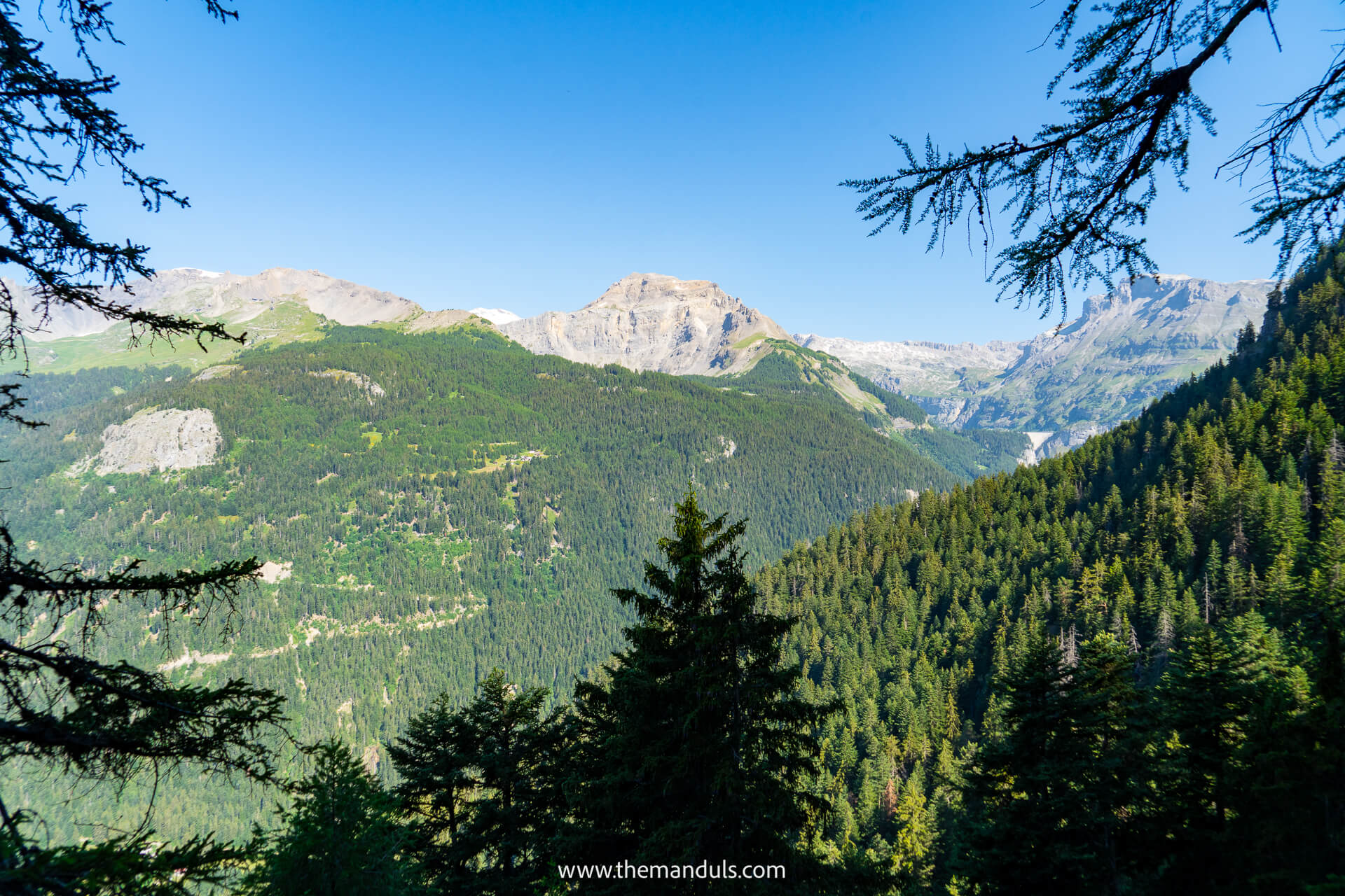
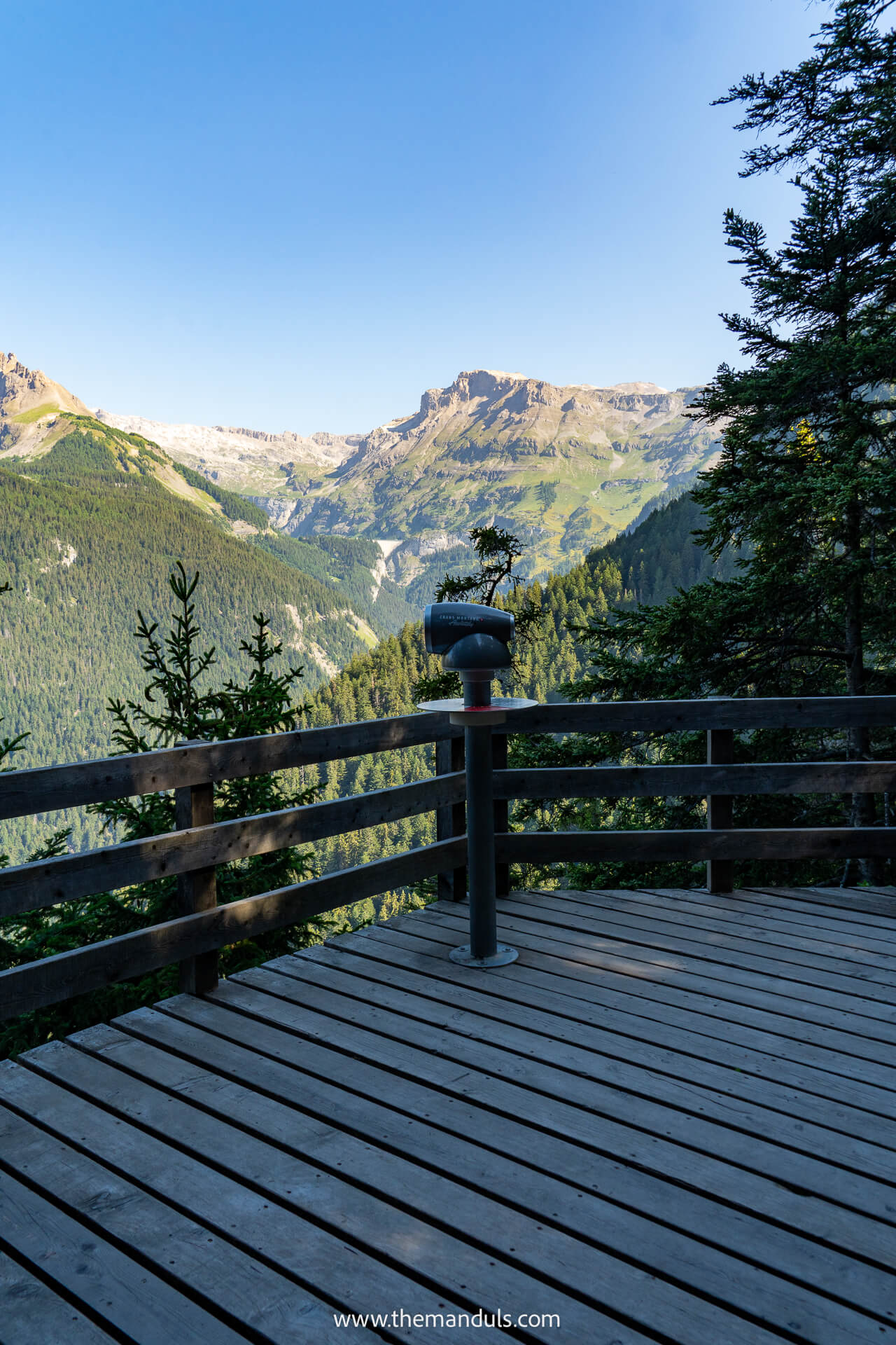
Views appear through gaps in the trees throughout the hike, opening over the Rhône Valley, surrounding peaks, and the slopes around Crans-Montana. The scenery constantly changes between shaded forest, rocky cliffs, and more open sections.
Later, the path passes several small waterfalls flowing directly across or beside the trail. The amount of water depends on recent rain and snowmelt, and you may get slightly wet when walking underneath them.
Shoes with good grip are useful, as the wooden surfaces and rocks can become slippery.
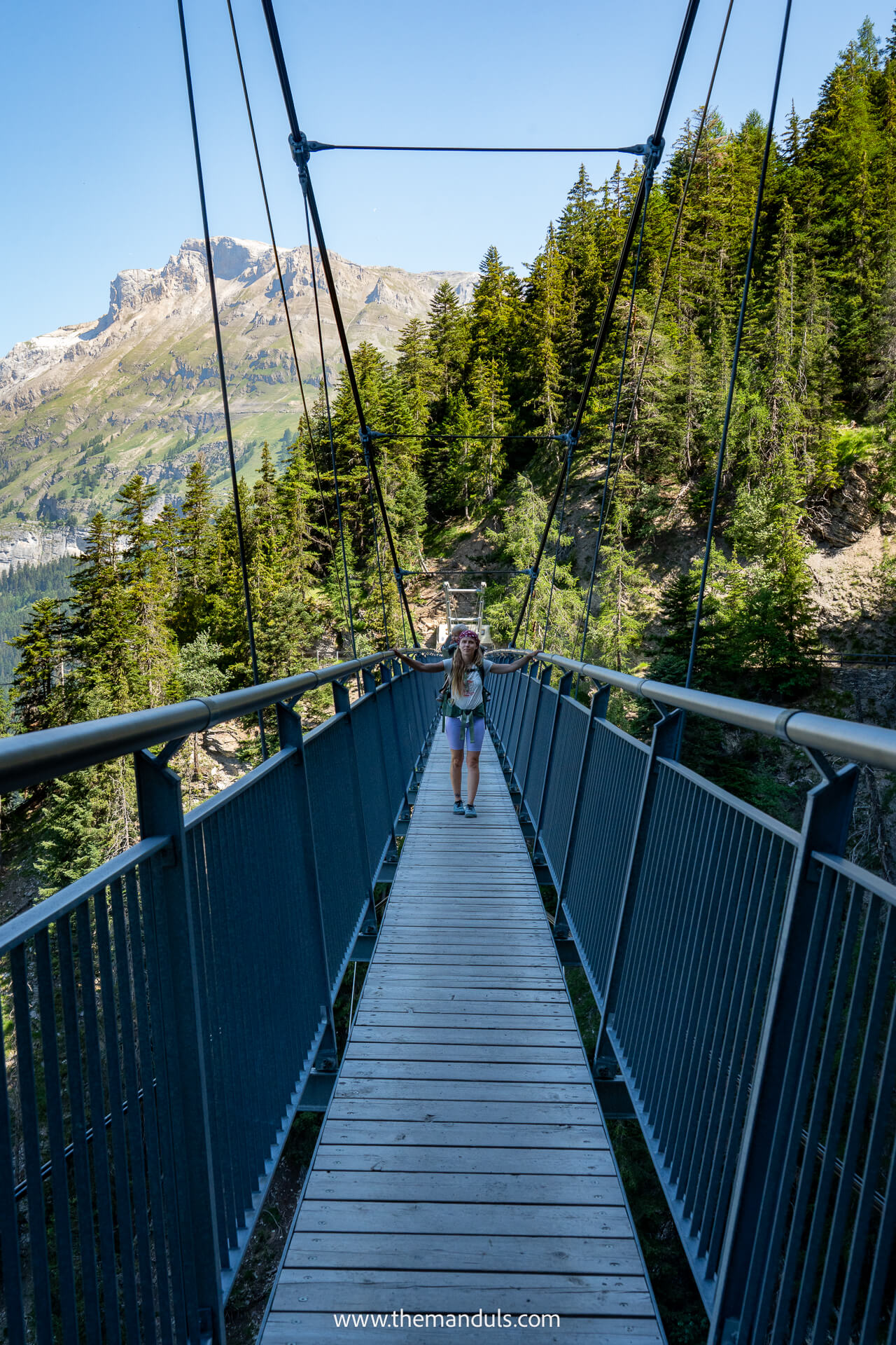
After around one hour, we reached the Bisse du Ro suspension bridge. Despite its height, the bridge felt more stable than we expected. It is firmly secured, does not swing much, and has tall protective fencing on both sides, making the crossing feel safer even if you are not completely comfortable with heights.
We turned around at the bridge, so the following section is based on the current marked route and official trail information rather than our own hike.
Suspension Bridge to Lac de Tseuzier
After the suspension bridge, the character of the trail changes as it follows a mix of forest paths, rocky sections, and more open alpine terrain toward Lac de Tseuzier. The views also open toward the valley and surrounding peaks as you get closer to the reservoir.
At the end of the hike, you reach the Tseuzier Dam, where you can walk across the top and look over the lake on one side and the valley below on the other. There is also a mountain hut nearby serving food and drinks, which makes it a good place to stop before catching the bus.
If you still have time and energy, you can extend the hike by walking around Lac de Tseuzier before heading back.
Facilities On The Trail
Plan as if there are no toilets, food stops, or water refill points along the Bisse du Ro trail itself, so carry enough water and snacks.
At the Plans-Mayens trailhead, Cabane des Lys serves food and drinks. At Lac de Tseuzier, you’ll find a seasonal restaurant, dry toilets on the dam, and a drinking-water fountain near the western end of the lake.
Check seasonal opening hours before relying on either restaurant.
Trail Difficulty
We felt safe on the section to the suspension bridge because most exposed passages had fences, railings, or wooden barriers. Physically, this part was not especially difficult, but the steep drops can make it feel much harder if you are afraid of heights.
The complete route still requires sure-footedness, appropriate shoes, and extra care when the trail is wet.
I would classify it as:
Physical difficulty: easy to moderate
Exposure: high
Not suitable for: hikers with vertigo
Where to stay in Crans Montana
These are the three hotels we’d consider, depending on whether you want the best overall experience, direct mountain access, or a more affordable stay.
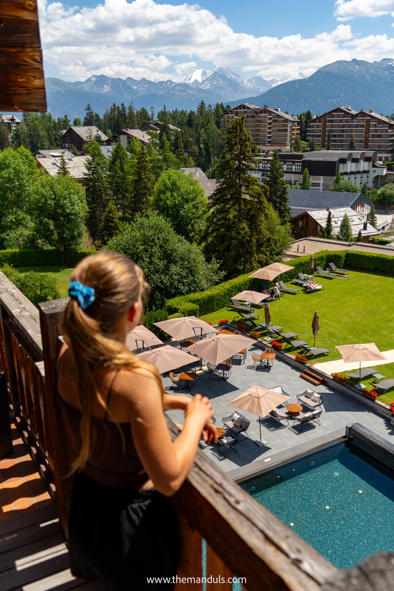
⭐️⭐️⭐️ Hotel de l’Etrier — Our Top Pick
We stayed at Hotel de l’Etrier and would happily book it again. The mountain views from our room were incredible, especially around sunset, while the pool, terrace, and sauna gave us somewhere to relax when the weather changed or we finished exploring early.
Another reason we’d choose it over the others is the food.
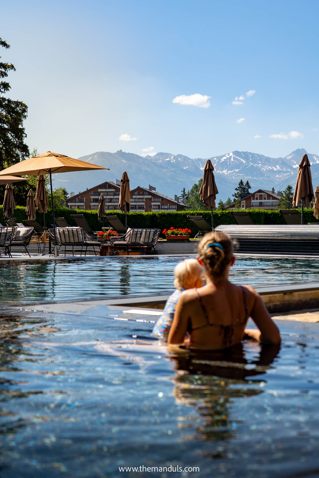
We ate at several of the hotel’s restaurants, and every meal was genuinely delicious. It is the strongest option if you want the hotel itself to feel like an enjoyable part of the trip rather than simply a place to sleep.
Best for: Views, wellness facilities, and excellent food
👉 Check current deals →
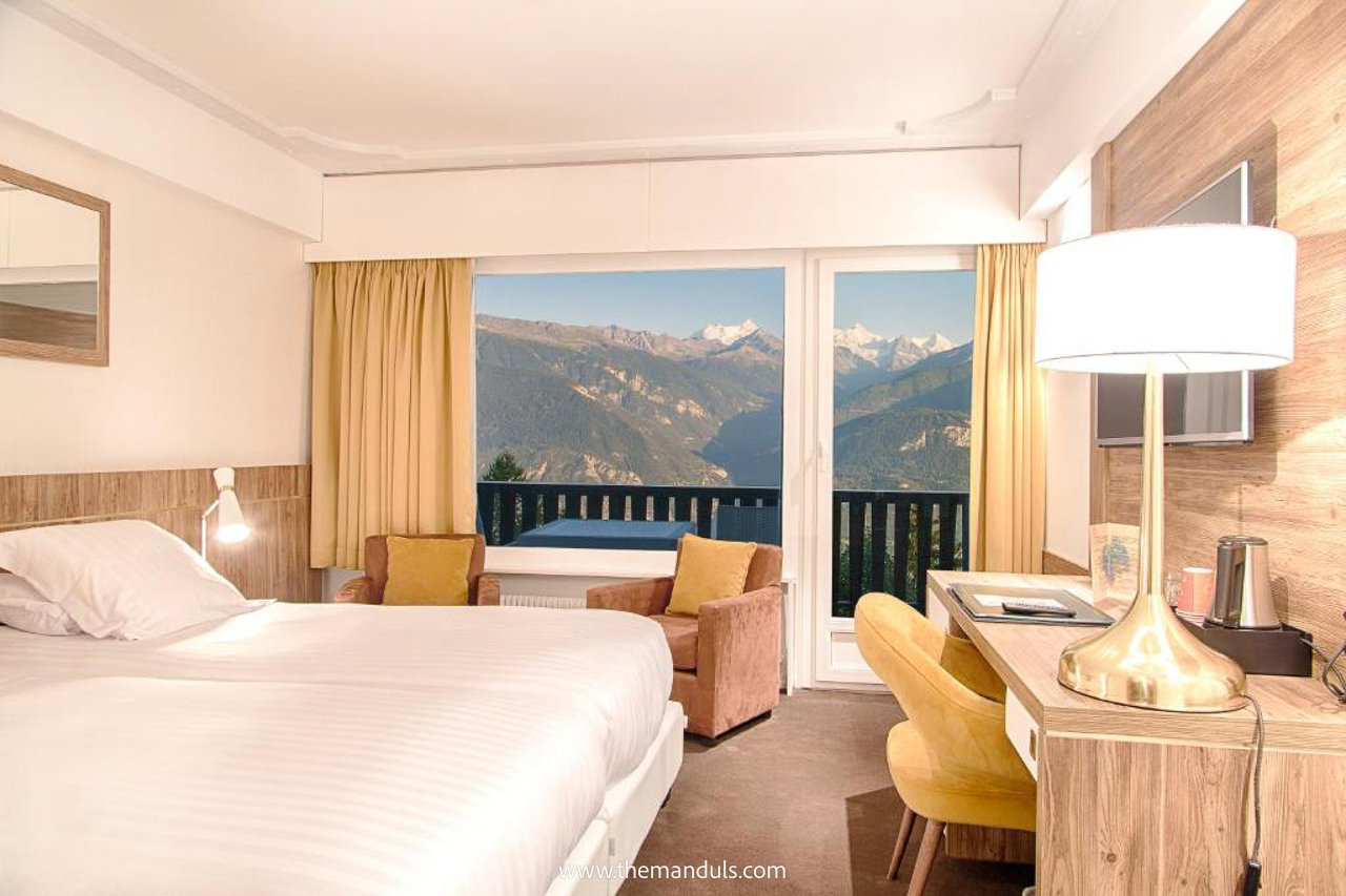
⭐️⭐️ Hotel-Restaurant Le Mont Paisible
We’d choose Le Mont Paisible if you want a quieter mountain stay with more than just a convenient location. The hotel has panoramic views over the Rhône Valley, an on-site restaurant, a sauna, massages on request, and free parking. The Violettes cable car is also only a few steps away, making it easy to reach the mountains without driving across the resort.
Best for: Mountain views, useful facilities, and easy cable-car access
👉 Compare prices →
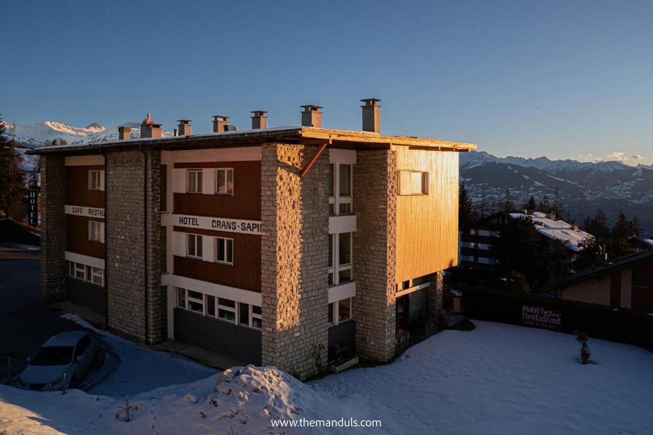
⭐️ Hôtel Historique Chez Elsy
Chez Elsy stands out for its personal atmosphere and original 1960s character. The same family has run the hotel for three generations, and the rooms combine vintage details with modern comforts. Some also have balconies with panoramic mountain views, while the restaurant and terrace give you somewhere relaxed to eat or have a drink without leaving the hotel.
It is also usually the most affordable of our three picks, making it a strong choice if you want character, views, and a smaller family-run stay.
Best for: A personal, character-filled stay at a lower price
👉 See availability →
FAQs
Official route guidance advises against using a back-mounted baby carrier because of the low rock overhangs. We did not see this warning before our hike and carried our one-year-old to the suspension bridge. A few times, we had to crouch and move carefully to avoid hitting her head, but it was manageable for us.
For children walking independently, we’d only recommend the trail if they are used to exposed mountain paths and stay close to an adult.
No. The trail includes narrow paths, wooden bridges, rocky sections, and exposed terrain, so a stroller is not suitable.
The first part from Plans-Mayens is mostly shaded by forest. Later sections become more open, so bring sun protection if you are hiking the full route to Lac de Tseuzier.
No entrance ticket is required. Your main costs are parking or public transport, plus any food and drinks along the way.
Final Thoughts
Bisse du Ro is one of the most unusual hikes around Crans-Montana. The cliffside path, wooden walkways, waterfalls, and suspension bridge make even the shorter hike from Plans-Mayens feel worthwhile.
We only walked to the suspension bridge and returned the same way, but the full route to Lac de Tseuzier is a better choice if you want a longer hike and can plan around the transport.
We’d recommend it to confident hikers who do not mind exposure. If you have vertigo or feel uncomfortable beside steep drops, this probably is not the right trail for you.